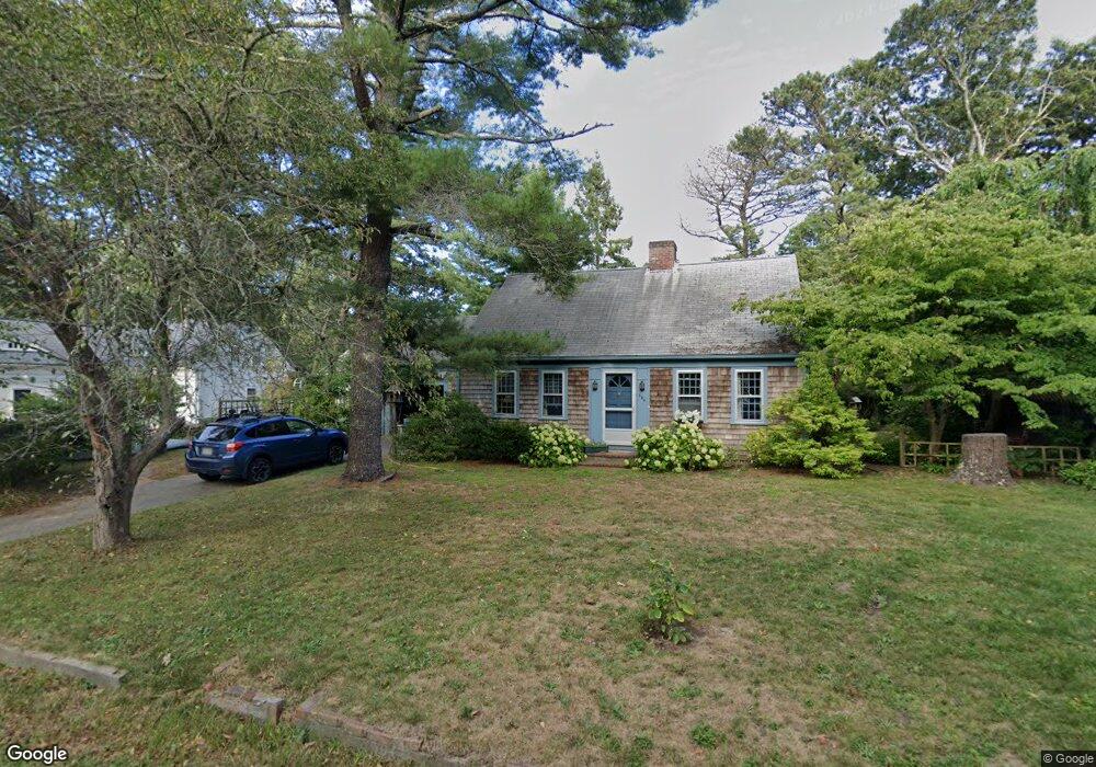
356 Depot St Dennis Port, MA 02639
Dennis Port NeighborhoodEstimated Value: $552,000 - $616,000
2
Beds
3
Baths
1,390
Sq Ft
$424/Sq Ft
Est. Value
About This Home
This home is located at 356 Depot St, Dennis Port, MA 02639 and is currently estimated at $589,010, approximately $423 per square foot. 356 Depot St is a home located in Barnstable County with nearby schools including Dennis-Yarmouth Regional High School and St. Pius X. School.
Ownership History
Date
Name
Owned For
Owner Type
Purchase Details
Closed on
Jun 7, 2002
Sold by
Furtado Jorge G and Patrice Furtado J
Bought by
Furtado J Patrice
Current Estimated Value
Home Financials for this Owner
Home Financials are based on the most recent Mortgage that was taken out on this home.
Original Mortgage
$128,000
Interest Rate
6.9%
Mortgage Type
Purchase Money Mortgage
Purchase Details
Closed on
Jun 1, 1989
Sold by
Mcmahon L
Bought by
Furtado Jorge G
Home Financials for this Owner
Home Financials are based on the most recent Mortgage that was taken out on this home.
Original Mortgage
$106,000
Interest Rate
10.92%
Mortgage Type
Purchase Money Mortgage
Create a Home Valuation Report for This Property
The Home Valuation Report is an in-depth analysis detailing your home's value as well as a comparison with similar homes in the area
Home Values in the Area
Average Home Value in this Area
Purchase History
| Date | Buyer | Sale Price | Title Company |
|---|---|---|---|
| Furtado J Patrice | $50,000 | -- | |
| Furtado Jorge G | $121,000 | -- |
Source: Public Records
Mortgage History
| Date | Status | Borrower | Loan Amount |
|---|---|---|---|
| Open | Furtado Jorge G | $103,000 | |
| Closed | Furtado Jorge G | $128,000 | |
| Previous Owner | Furtado Jorge G | $102,500 | |
| Previous Owner | Furtado Jorge G | $106,000 |
Source: Public Records
Tax History Compared to Growth
Tax History
| Year | Tax Paid | Tax Assessment Tax Assessment Total Assessment is a certain percentage of the fair market value that is determined by local assessors to be the total taxable value of land and additions on the property. | Land | Improvement |
|---|---|---|---|---|
| 2025 | $2,128 | $491,400 | $128,000 | $363,400 |
| 2024 | $2,097 | $477,700 | $130,400 | $347,300 |
| 2023 | $2,028 | $434,200 | $118,500 | $315,700 |
| 2022 | $1,977 | $353,100 | $118,600 | $234,500 |
| 2021 | $10,069 | $290,500 | $104,700 | $185,800 |
| 2020 | $3,875 | $279,800 | $104,700 | $175,100 |
| 2019 | $9,603 | $258,600 | $102,600 | $156,000 |
| 2018 | $3,563 | $244,800 | $97,700 | $147,100 |
| 2017 | $3,333 | $244,800 | $97,700 | $147,100 |
| 2016 | $1,510 | $231,300 | $108,600 | $122,700 |
| 2015 | $1,480 | $231,300 | $108,600 | $122,700 |
| 2014 | $1,306 | $205,600 | $86,800 | $118,800 |
Source: Public Records
Map
Nearby Homes
- 11 Lane Rd
- 91 Depot Rd W
- 24 Indian Trail
- 9 Country Ln
- 47 Telegraph Rd Unit 1
- 78 Upper County Rd Unit A&B
- 78 Upper County Rd
- 141 Division St
- 141 Division St
- 12 Candlewood Ln Unit 2-9
- 10 Candlewood Ln Unit 2-1
- 45 Route 28
- 9 Bells Neck Rd Unit 10
- 537 Depot St
- 20 Aunt Debbys Rd
- 9 Mansion St
- 40 Willow St
- 79 Massachusetts 28
- 73 Division St
- 64 Smith St