356 Hartshorn Rd Barnstead, NH 03218
Estimated Value: $453,000 - $555,000
3
Beds
2
Baths
1,924
Sq Ft
$262/Sq Ft
Est. Value
About This Home
This home is located at 356 Hartshorn Rd, Barnstead, NH 03218 and is currently estimated at $504,726, approximately $262 per square foot. 356 Hartshorn Rd is a home with nearby schools including Barnstead Elementary School and Prospect Mountain High School.
Ownership History
Date
Name
Owned For
Owner Type
Purchase Details
Closed on
Dec 8, 2016
Sold by
Thoroughgood Richard J and Thoroughgood Todd M
Bought by
Thoroughgood Todd M
Current Estimated Value
Home Financials for this Owner
Home Financials are based on the most recent Mortgage that was taken out on this home.
Original Mortgage
$150,000
Outstanding Balance
$122,317
Interest Rate
3.47%
Mortgage Type
New Conventional
Estimated Equity
$382,409
Purchase Details
Closed on
Apr 29, 2016
Sold by
Thoroughgood Richard J
Bought by
Thoroughgood Richard J and Thoroughgood Todd M
Create a Home Valuation Report for This Property
The Home Valuation Report is an in-depth analysis detailing your home's value as well as a comparison with similar homes in the area
Home Values in the Area
Average Home Value in this Area
Purchase History
| Date | Buyer | Sale Price | Title Company |
|---|---|---|---|
| Thoroughgood Richard J | -- | -- | |
| Thoroughgood Todd M | -- | -- |
Source: Public Records
Mortgage History
| Date | Status | Borrower | Loan Amount |
|---|---|---|---|
| Open | Thoroughgood Todd M | $150,000 |
Source: Public Records
Tax History Compared to Growth
Tax History
| Year | Tax Paid | Tax Assessment Tax Assessment Total Assessment is a certain percentage of the fair market value that is determined by local assessors to be the total taxable value of land and additions on the property. | Land | Improvement |
|---|---|---|---|---|
| 2024 | $6,469 | $396,600 | $106,100 | $290,500 |
| 2023 | $5,691 | $396,600 | $106,100 | $290,500 |
| 2022 | $5,378 | $249,000 | $48,700 | $200,300 |
| 2021 | $5,468 | $249,000 | $48,700 | $200,300 |
| 2020 | $5,752 | $249,000 | $48,700 | $200,300 |
| 2019 | $1,803 | $249,000 | $48,700 | $200,300 |
| 2018 | $3,231 | $249,000 | $48,700 | $200,300 |
| 2017 | $3,070 | $194,900 | $37,500 | $157,400 |
| 2016 | $826 | $30,300 | $30,300 | $0 |
| 2015 | $823 | $30,300 | $30,300 | $0 |
| 2014 | $726 | $30,300 | $30,300 | $0 |
| 2013 | $712 | $30,300 | $30,300 | $0 |
Source: Public Records
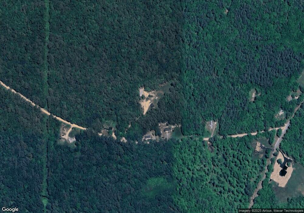
Map
Nearby Homes
- 11 Gray Rd
- 4 Sandy Point Rd
- 85 Province Rd
- M2-l29-2 Province Rd
- 572 S Barnstead Rd
- 109 Shackford Corner Rd
- L33 Province Rd
- 449 Tilton Hill Rd
- 4 Parade Cir
- 22-54 Red Oak Rd
- 41 Pinepark Dr
- L68-1 Vail Rd
- 93 E Huntress Pond Rd
- 277 Shackford Corner Rd
- L68-2 Vail Rd
- 109 Vail Rd
- 77 Vail Rd
- 25 Vail Rd
- 38 Chapelle Rd
- 152 Evans Rd