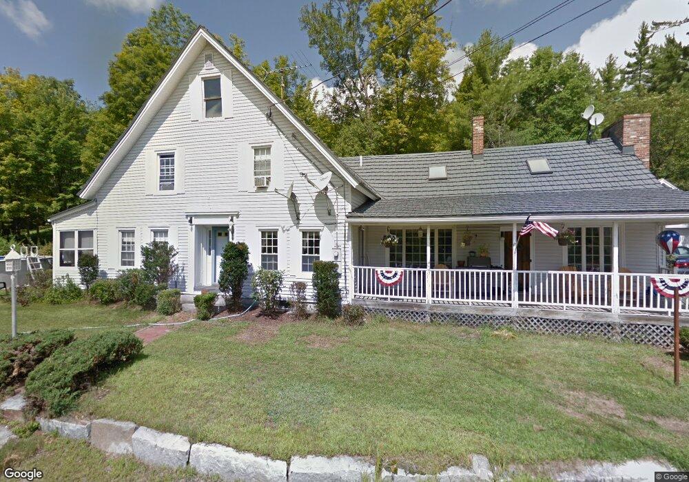
356 Main St Grafton, NH 03240
Estimated Value: $407,120 - $581,000
4
Beds
3
Baths
2,904
Sq Ft
$159/Sq Ft
Est. Value
About This Home
This home is located at 356 Main St, Grafton, NH 03240 and is currently estimated at $461,280, approximately $158 per square foot. 356 Main St is a home with nearby schools including Canaan Elementary School, Indian River School, and Mascoma Valley Regional High School.
Ownership History
Date
Name
Owned For
Owner Type
Purchase Details
Closed on
Sep 19, 2006
Sold by
Kelley Eleanor Mary
Bought by
Kocurek Jon T and Kocurek Stephanie L
Current Estimated Value
Home Financials for this Owner
Home Financials are based on the most recent Mortgage that was taken out on this home.
Original Mortgage
$242,000
Interest Rate
6.71%
Create a Home Valuation Report for This Property
The Home Valuation Report is an in-depth analysis detailing your home's value as well as a comparison with similar homes in the area
Home Values in the Area
Average Home Value in this Area
Purchase History
| Date | Buyer | Sale Price | Title Company |
|---|---|---|---|
| Kocurek Jon T | $255,000 | -- | |
| Kocurek Jon T | $255,000 | -- |
Source: Public Records
Mortgage History
| Date | Status | Borrower | Loan Amount |
|---|---|---|---|
| Open | Kocurek Jon T | $209,407 | |
| Closed | Kocurek Jon T | $242,000 |
Source: Public Records
Tax History Compared to Growth
Tax History
| Year | Tax Paid | Tax Assessment Tax Assessment Total Assessment is a certain percentage of the fair market value that is determined by local assessors to be the total taxable value of land and additions on the property. | Land | Improvement |
|---|---|---|---|---|
| 2024 | $7,586 | $247,900 | $64,600 | $183,300 |
| 2023 | $6,421 | $235,200 | $64,600 | $170,600 |
| 2022 | $6,233 | $235,200 | $64,600 | $170,600 |
| 2021 | $6,087 | $235,200 | $64,600 | $170,600 |
| 2020 | $6,315 | $235,200 | $64,600 | $170,600 |
| 2019 | $6,052 | $190,500 | $35,600 | $154,900 |
| 2018 | $5,484 | $190,500 | $35,600 | $154,900 |
| 2017 | $5,332 | $190,500 | $35,600 | $154,900 |
| 2016 | $4,956 | $189,600 | $35,600 | $154,000 |
| 2015 | $5,151 | $189,600 | $35,600 | $154,000 |
| 2014 | $5,192 | $227,800 | $42,000 | $185,800 |
| 2013 | $4,710 | $226,000 | $42,000 | $184,000 |
Source: Public Records
Map
Nearby Homes
- 11 Turnpike Rd
- 44 Williams Hill Rd
- 165 Bullocks Crossing Rd
- 150 Kinsman Hwy
- 1164 Main St
- 232 Kilton Pond Rd
- 524 North Rd
- 21 Northwood Estates
- 0 Spruce Ln
- 167 School Pond Rd
- 309 Waukeena Lake Rd
- 00 Riddle Hill Rd
- 00 Orange Rd Unit 16
- 34 Courtland Dr
- 0 Juniper Meadow Rd Unit 26
- 410-090-008 Eastern District Rd
- 410-090-005 Eastern District Rd
- Lot91 Eastern District Rd
- 410-089-001 Eastern District Rd
- 410-090-009 Eastern District Rd
- 384 Main St
- 32 Sargent Hill Rd
- 337 Main St
- 47 Sargent Hill Rd
- 396 Main St
- 11 Sargent Hill Rd
- 312 Main St
- 65 Sargent Hill Rd
- 7 Sargent Hill Rd
- 41 Neils Ln
- 295 Main St
- 183 Sargent Hill Rd
- 27 Neils Ln
- 189 Sargent Hill Rd
- 11 Neils Ln
- 191 Sargent Hill Rd
- 111 Sargent Hill Rd
- 431 Main St
- 53 Neils Ln
- 14 Lower Meadow Rd