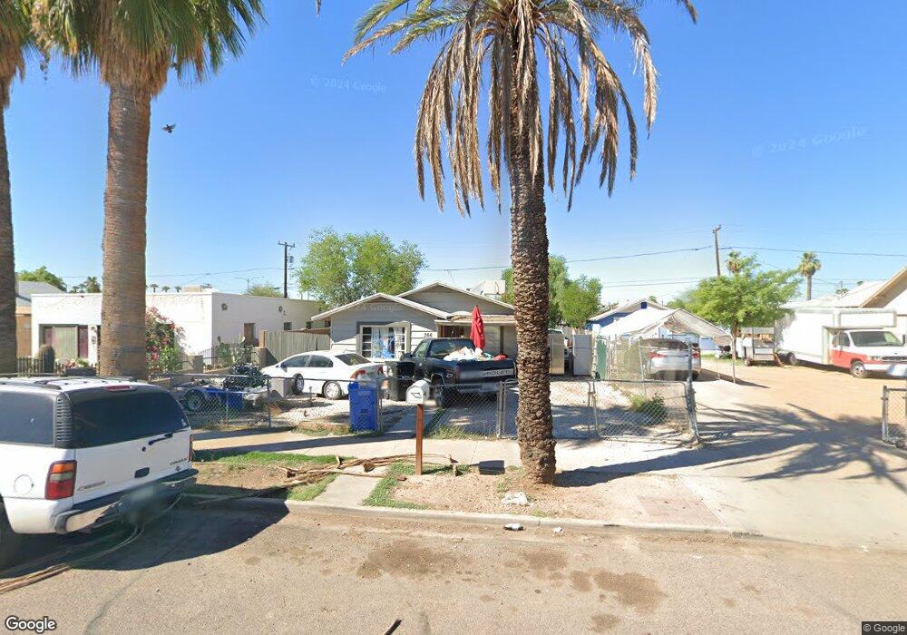
356 N 20th Dr Phoenix, AZ 85009
Central City NeighborhoodEstimated Value: $262,000 - $269,000
2
Beds
1
Bath
852
Sq Ft
$312/Sq Ft
Est. Value
About This Home
This home is located at 356 N 20th Dr, Phoenix, AZ 85009 and is currently estimated at $265,500, approximately $311 per square foot. 356 N 20th Dr is a home located in Maricopa County with nearby schools including Capitol Elementary School, Phoenix Coding Academy, and Central High School.
Ownership History
Date
Name
Owned For
Owner Type
Purchase Details
Closed on
Dec 2, 2011
Sold by
Cardenas Salvador Franco
Bought by
Xochicalco Llc
Current Estimated Value
Purchase Details
Closed on
Aug 19, 2011
Sold by
Rios Erma Moreno
Bought by
Cardenas Salvador Franco
Purchase Details
Closed on
May 11, 2011
Sold by
Rios Melissa Moreno
Bought by
Rios Erna Moreno
Purchase Details
Closed on
Dec 20, 2010
Sold by
Rios Erna Moreno
Bought by
Rios Melissa Moreno
Purchase Details
Closed on
Nov 29, 2007
Sold by
Rios Carlos Velarde
Bought by
Rios Erna Moreno
Purchase Details
Closed on
Jun 20, 2005
Sold by
Bustamante Ernest M and Bustamante Magdalena V
Bought by
Rios Carlos Velarde and Rios Erna Moreno
Create a Home Valuation Report for This Property
The Home Valuation Report is an in-depth analysis detailing your home's value as well as a comparison with similar homes in the area
Home Values in the Area
Average Home Value in this Area
Purchase History
| Date | Buyer | Sale Price | Title Company |
|---|---|---|---|
| Xochicalco Llc | -- | None Available | |
| Cardenas Salvador Franco | $15,000 | Lawyers Title Of Arizona Inc | |
| Rios Erna Moreno | -- | None Available | |
| Rios Melissa Moreno | -- | None Available | |
| Rios Erna Moreno | -- | None Available | |
| Rios Carlos Velarde | $100,000 | Camelback Title Agency Llc |
Source: Public Records
Tax History Compared to Growth
Tax History
| Year | Tax Paid | Tax Assessment Tax Assessment Total Assessment is a certain percentage of the fair market value that is determined by local assessors to be the total taxable value of land and additions on the property. | Land | Improvement |
|---|---|---|---|---|
| 2025 | $977 | $7,304 | -- | -- |
| 2024 | $967 | $6,956 | -- | -- |
| 2023 | $967 | $16,630 | $3,320 | $13,310 |
| 2022 | $933 | $10,710 | $2,140 | $8,570 |
| 2021 | $926 | $11,310 | $2,260 | $9,050 |
| 2020 | $937 | $9,270 | $1,850 | $7,420 |
| 2019 | $935 | $7,570 | $1,510 | $6,060 |
| 2018 | $278 | $5,530 | $1,100 | $4,430 |
| 2017 | $271 | $3,580 | $710 | $2,870 |
| 2016 | $263 | $3,150 | $630 | $2,520 |
| 2015 | $244 | $2,520 | $500 | $2,020 |
Source: Public Records
Map
Nearby Homes
- 1945 W Van Buren St
- 334 N 18th Dr
- 2002 W Adams St
- 1913 W Adams St
- 1941 W Washington St Unit 9
- 329 N 17th Dr
- 325 N 17th Dr
- 415 N 17th Dr
- 2002 W Jefferson St
- 2201 W Washington St
- 2215 W Washington St
- 2013 W Jefferson St
- 2006 W Madison St
- 1629 W Fillmore St
- 1625 W Fillmore St
- 1711 W Latham St
- 1522 W Fillmore St
- 1522 W Fillmore St Unit 6-7
- 2605 W Van Buren St Unit 137
- 2605 W Van Buren St Unit 80