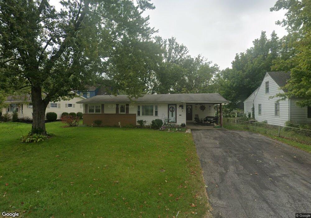
356 N Dale Dr Lima, OH 45805
Westgate NeighborhoodEstimated Value: $116,000 - $144,000
3
Beds
1
Bath
1,116
Sq Ft
$119/Sq Ft
Est. Value
About This Home
This home is located at 356 N Dale Dr, Lima, OH 45805 and is currently estimated at $133,306, approximately $119 per square foot. 356 N Dale Dr is a home located in Allen County with nearby schools including Heritage Elementary School, Lima West Middle School, and Lima North Middle School.
Ownership History
Date
Name
Owned For
Owner Type
Purchase Details
Closed on
Apr 17, 1998
Sold by
Moore Isabelle
Bought by
Hager Mary
Current Estimated Value
Home Financials for this Owner
Home Financials are based on the most recent Mortgage that was taken out on this home.
Original Mortgage
$48,500
Interest Rate
7.27%
Mortgage Type
New Conventional
Purchase Details
Closed on
May 5, 1995
Sold by
Culp Lowell
Bought by
Moore Isabelle
Purchase Details
Closed on
Jan 29, 1993
Sold by
Wilt Floyd W
Bought by
Culp Debra L and Welch Sheila M
Purchase Details
Closed on
May 9, 1991
Bought by
Wilt Floyd W
Create a Home Valuation Report for This Property
The Home Valuation Report is an in-depth analysis detailing your home's value as well as a comparison with similar homes in the area
Home Values in the Area
Average Home Value in this Area
Purchase History
| Date | Buyer | Sale Price | Title Company |
|---|---|---|---|
| Hager Mary | $50,000 | -- | |
| Moore Isabelle | $39,900 | -- | |
| Culp Debra L | -- | -- | |
| Wilt Floyd W | -- | -- |
Source: Public Records
Mortgage History
| Date | Status | Borrower | Loan Amount |
|---|---|---|---|
| Previous Owner | Hager Mary | $48,500 |
Source: Public Records
Tax History
| Year | Tax Paid | Tax Assessment Tax Assessment Total Assessment is a certain percentage of the fair market value that is determined by local assessors to be the total taxable value of land and additions on the property. | Land | Improvement |
|---|---|---|---|---|
| 2024 | $1,155 | $31,680 | $5,570 | $26,110 |
| 2023 | $945 | $22,160 | $3,890 | $18,270 |
| 2022 | $949 | $22,160 | $3,890 | $18,270 |
| 2021 | $1,003 | $22,160 | $3,890 | $18,270 |
| 2020 | $991 | $19,430 | $3,710 | $15,720 |
| 2019 | $991 | $19,430 | $3,710 | $15,720 |
| 2018 | $933 | $19,430 | $3,710 | $15,720 |
| 2017 | $893 | $17,290 | $3,710 | $13,580 |
| 2016 | $900 | $17,290 | $3,710 | $13,580 |
| 2015 | $866 | $17,290 | $3,710 | $13,580 |
| 2014 | $866 | $16,420 | $3,680 | $12,740 |
| 2013 | $843 | $16,420 | $3,680 | $12,740 |
Source: Public Records
Map
Nearby Homes
- 275 N Dale Dr
- 1918 Oakland Pkwy
- 2057 W High St
- 2201 W High St
- 1716 Oakland Pkwy
- 161 S Cable Rd
- 514 N Cable Rd
- 1607 W Wayne St
- 1541 Oakland Pkwy
- 1753 Leland Ave
- 1810 Rice Ave
- 1508 Oakland Pkwy
- 1880 Wendell Ave
- 1517 Allentown Rd
- 1600 Leland Ave
- 2700 Lowell Ave
- 308 S Judkins Ave
- 858 Mackenzie Dr
- 1323 W Elm St
- 1407 Latham Ave
- 350 N Dale Dr
- 2001 Oakland Pkwy
- 319 N Westwood Dr
- 340 N Dale Dr
- 2060 Idlewild Dr
- 305 N Westwood Dr
- 2030 Idlewild Dr
- 2012 Oakland Pkwy
- 2018 Oakland Pkwy
- 330 N Dale Dr
- 2006 Oakland Pkwy
- 2024 Oakland Pkwy
- 2000 Oakland Pkwy
- 2030 Oakland Pkwy
- 295 N Dale Dr
- 2049 Idlewild Dr
- 000 Idlewild Dr
- 2036 Oakland Pkwy