356 Nod Hill Rd Wilton, CT 06897
Estimated Value: $2,353,866 - $3,033,000
4
Beds
6
Baths
5,928
Sq Ft
$435/Sq Ft
Est. Value
About This Home
This home is located at 356 Nod Hill Rd, Wilton, CT 06897 and is currently estimated at $2,579,467, approximately $435 per square foot. 356 Nod Hill Rd is a home located in Fairfield County with nearby schools including Miller-Driscoll School, Cider Mill School, and Middlebrook School.
Ownership History
Date
Name
Owned For
Owner Type
Purchase Details
Closed on
Jul 3, 2001
Sold by
Wall Stephen
Bought by
Sullivan Mark and Sullivan Emma
Current Estimated Value
Home Financials for this Owner
Home Financials are based on the most recent Mortgage that was taken out on this home.
Original Mortgage
$1,000,000
Interest Rate
7.14%
Create a Home Valuation Report for This Property
The Home Valuation Report is an in-depth analysis detailing your home's value as well as a comparison with similar homes in the area
Home Values in the Area
Average Home Value in this Area
Purchase History
| Date | Buyer | Sale Price | Title Company |
|---|---|---|---|
| Sullivan Mark | $1,625,000 | -- |
Source: Public Records
Mortgage History
| Date | Status | Borrower | Loan Amount |
|---|---|---|---|
| Open | Sullivan Mark | $800,000 | |
| Closed | Sullivan Mark | $1,000,000 | |
| Previous Owner | Sullivan Mark | $940,000 |
Source: Public Records
Tax History Compared to Growth
Tax History
| Year | Tax Paid | Tax Assessment Tax Assessment Total Assessment is a certain percentage of the fair market value that is determined by local assessors to be the total taxable value of land and additions on the property. | Land | Improvement |
|---|---|---|---|---|
| 2025 | $29,815 | $1,221,430 | $337,050 | $884,380 |
| 2024 | $29,241 | $1,221,430 | $337,050 | $884,380 |
| 2023 | $28,761 | $982,940 | $322,280 | $660,660 |
| 2022 | $27,748 | $982,940 | $322,280 | $660,660 |
| 2021 | $27,395 | $982,940 | $322,280 | $660,660 |
| 2020 | $26,992 | $982,940 | $322,280 | $660,660 |
| 2019 | $28,053 | $982,940 | $322,280 | $660,660 |
| 2018 | $33,445 | $1,186,430 | $339,360 | $847,070 |
| 2017 | $32,947 | $1,186,430 | $339,360 | $847,070 |
| 2016 | $32,437 | $1,186,430 | $339,360 | $847,070 |
| 2015 | $31,832 | $1,186,430 | $339,360 | $847,070 |
| 2014 | $31,452 | $1,186,430 | $339,360 | $847,070 |
Source: Public Records
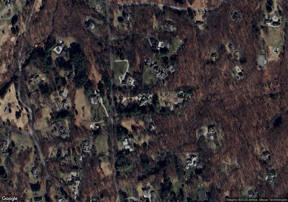
Map
Nearby Homes
- 35 Branch Brook Rd
- 55 Tanners Dr
- 13 Indian Hill Rd
- 175 Mountain Rd
- Lot 6 Cattle Pen Ln
- 112 Middlebrook Farm Rd
- 00 Old Mill Rd
- 54 Mountain Rd
- 38 Honey Hill Rd
- 131 Fieldcrest Dr
- 23 Silver Hill Rd
- 330 Ridgefield Rd
- 87 Silver Hill Rd
- 111 Deforest Rd
- 0 Old Mill Rd
- 258 Silver Spring Rd
- 9 Read Place
- 134 Nod Rd
- 0 Mountain Rd
- 33 Middlebrook Farm Rd
- 351 Nod Hill Rd
- 364 Nod Hill Rd
- 338 Nod Hill Rd
- 354 Nod Hill Rd
- 378 Nod Hill Rd
- 347 Nod Hill Rd
- 27 Tito Ln
- 7 Tito Ln
- 324 Nod Hill Rd
- 396 Nod Hill Rd
- 1 Tito Ln
- 322 Nod Hill Rd
- 193 Pipers Hill Rd
- 29 Tito Ln
- 189 Pipers Hill Rd
- 385 Nod Hill Rd
- 270 Millstone Rd
- 312 Nod Hill Rd
- 286 Millstone Rd
- 320 Nod Hill Rd