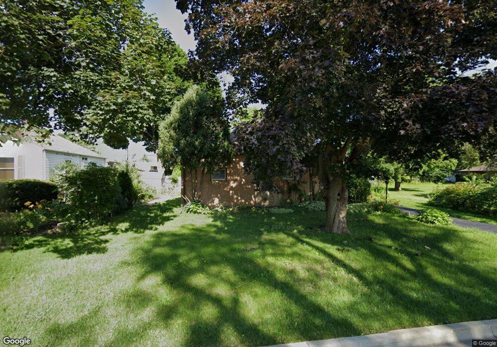
356 Osage St Wauconda, IL 60084
Estimated Value: $275,489 - $297,000
--
Bed
1
Bath
1,226
Sq Ft
$236/Sq Ft
Est. Value
About This Home
This home is located at 356 Osage St, Wauconda, IL 60084 and is currently estimated at $289,622, approximately $236 per square foot. 356 Osage St is a home located in Lake County with nearby schools including Wauconda Grade School, Wauconda Middle School, and Wauconda High School.
Ownership History
Date
Name
Owned For
Owner Type
Purchase Details
Closed on
Aug 30, 2001
Sold by
Hayes Bernice
Bought by
Slove James S
Current Estimated Value
Home Financials for this Owner
Home Financials are based on the most recent Mortgage that was taken out on this home.
Original Mortgage
$136,800
Interest Rate
6.88%
Create a Home Valuation Report for This Property
The Home Valuation Report is an in-depth analysis detailing your home's value as well as a comparison with similar homes in the area
Home Values in the Area
Average Home Value in this Area
Purchase History
| Date | Buyer | Sale Price | Title Company |
|---|---|---|---|
| Slove James S | $171,000 | -- |
Source: Public Records
Mortgage History
| Date | Status | Borrower | Loan Amount |
|---|---|---|---|
| Previous Owner | Slove James S | $136,800 | |
| Closed | Slove James S | $25,650 |
Source: Public Records
Tax History Compared to Growth
Tax History
| Year | Tax Paid | Tax Assessment Tax Assessment Total Assessment is a certain percentage of the fair market value that is determined by local assessors to be the total taxable value of land and additions on the property. | Land | Improvement |
|---|---|---|---|---|
| 2024 | $5,228 | $80,355 | $22,559 | $57,796 |
| 2023 | $6,118 | $61,209 | $17,184 | $44,025 |
| 2022 | $6,118 | $62,069 | $19,537 | $42,532 |
| 2021 | $5,828 | $58,650 | $18,461 | $40,189 |
| 2020 | $5,630 | $55,899 | $17,595 | $38,304 |
| 2019 | $4,992 | $52,830 | $16,629 | $36,201 |
| 2018 | $6,064 | $58,755 | $21,678 | $37,077 |
| 2017 | $6,058 | $58,075 | $21,427 | $36,648 |
| 2016 | $5,679 | $54,996 | $20,291 | $34,705 |
| 2015 | $5,320 | $50,488 | $18,628 | $31,860 |
| 2014 | $4,751 | $47,432 | $20,797 | $26,635 |
| 2012 | $4,646 | $46,691 | $19,898 | $26,793 |
Source: Public Records
Map
Nearby Homes
- 136 Hubbard Ct
- 450 N Main St Unit S307A
- 450 N Main St Unit S208A
- 311 Brown St
- 131 E Mill St Unit B104
- 335 Farmhill Cir
- 532 Brown St
- 226 Barrington Rd
- 300 Barrington Rd
- 225 Larkdale Row
- 318 E Liberty St
- 240 Regency Ct
- 136 Parkview Dr Unit 5136
- 225 Regency Ct Unit A
- 107 Hammond Ave
- 235 Regency Ct Unit B
- 28177 N Garland Rd
- 453 Willow Rd
- 26049 N Il Route 59
- 431 Barrington Rd