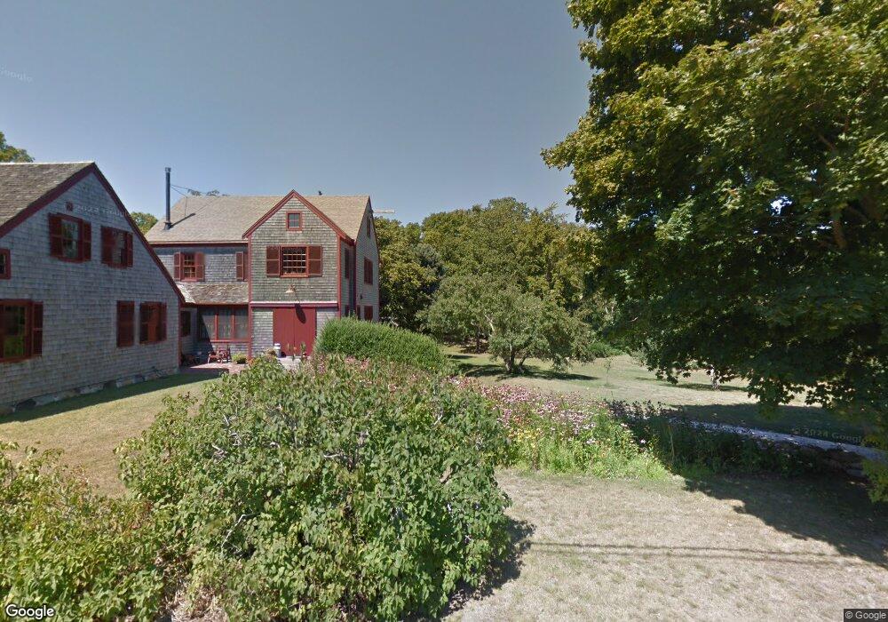
356 Tonset Rd Orleans, MA 2653
Orleans AreaEstimated Value: $621,040 - $2,618,000
About This Home
This home is located at 356 Tonset Rd, Orleans, MA 2653 and is currently estimated at $1,437,010, approximately $1,201 per square foot. 356 Tonset Rd is a home located in Barnstable County with nearby schools including Orleans Elementary School, Nauset Regional Middle School, and Nauset Regional High School.
Ownership History
We collect this data history from publicly available records. To have your information removed, we recommend requesting removal directly through your county’s website.
Purchase Details
Purchase Details
Home Values in the Area
Average Home Value in this Area
Purchase History
We collect this data history from publicly available records. To have your information removed, we recommend requesting removal directly through your county’s website.
| Date | Buyer | Sale Price | Title Company |
|---|---|---|---|
| -- | -- | ||
| $112,000 | -- |
Tax History
We collect this data history from publicly available records. To have your information removed, we recommend requesting removal directly through your county’s website.
| Year | Tax Paid | Tax Assessment Tax Assessment Total Assessment is a certain percentage of the fair market value that is determined by local assessors to be the total taxable value of land and additions on the property. | Land | Improvement |
|---|---|---|---|---|
| 2025 | $3,752 | $601,300 | $601,300 | $0 |
| 2024 | $3,568 | $556,700 | $556,700 | $0 |
| 2023 | $2,833 | $454,800 | $454,800 | $0 |
| 2022 | $3,176 | $441,100 | $441,100 | $0 |
| 2021 | $3,518 | $448,700 | $448,700 | $0 |
| 2020 | $3,392 | $448,700 | $448,700 | $0 |
| 2019 | $7,153 | $436,200 | $436,200 | $0 |
| 2018 | $2,837 | $427,900 | $427,900 | $0 |
| 2017 | $2,137 | $427,900 | $427,900 | $0 |
| 2016 | $2,589 | $400,800 | $400,800 | $0 |
| 2015 | $2,522 | $392,900 | $392,900 | $0 |
Map
- 15 Mill Pond Rd
- 60 Smith Heights Way
- 40 Kittiwake Ln
- 20 Kittiwake Ln
- 12 Settlers Trace
- 1061 State Hwy Unit 4
- 1061 State Hwy Unit 1061
- 7 Little Cove Ln
- 785 State Hwy Unit 9
- 51 Chickadee Ln
- 90 Log Cabin Rd
- 205 S Eastham St
- 1975 State Hwy Unit 1
- 1975 State Hwy Unit 9
- 110 Beach Rd
- 20 Stone Ct
- 216 Main St
- 28 Greymoor Way
- 12 Windswept Ln
- 189 Main St
Ask me questions while you tour the home.