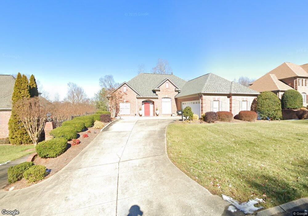
3563 Burnley Dr Clemmons, NC 27012
Estimated Value: $394,000 - $640,000
3
Beds
3
Baths
2,480
Sq Ft
$223/Sq Ft
Est. Value
About This Home
This home is located at 3563 Burnley Dr, Clemmons, NC 27012 and is currently estimated at $553,727, approximately $223 per square foot. 3563 Burnley Dr is a home located in Forsyth County with nearby schools including Frank Morgan Elementary School, Clemmons Middle School, and West Forsyth High.
Ownership History
Date
Name
Owned For
Owner Type
Purchase Details
Closed on
Feb 23, 2001
Sold by
Tim Morgan Builders Inc
Bought by
Phillips Donald Michael and Phillips Judith Kay
Current Estimated Value
Home Financials for this Owner
Home Financials are based on the most recent Mortgage that was taken out on this home.
Original Mortgage
$200,000
Outstanding Balance
$72,135
Interest Rate
7.06%
Estimated Equity
$481,592
Purchase Details
Closed on
Aug 8, 2000
Sold by
Cambria Place Llc
Bought by
Tim Morgan Builders Inc
Home Financials for this Owner
Home Financials are based on the most recent Mortgage that was taken out on this home.
Original Mortgage
$269,600
Interest Rate
8.07%
Mortgage Type
Construction
Create a Home Valuation Report for This Property
The Home Valuation Report is an in-depth analysis detailing your home's value as well as a comparison with similar homes in the area
Home Values in the Area
Average Home Value in this Area
Purchase History
| Date | Buyer | Sale Price | Title Company |
|---|---|---|---|
| Phillips Donald Michael | $404,000 | -- | |
| Tim Morgan Builders Inc | $43,000 | -- |
Source: Public Records
Mortgage History
| Date | Status | Borrower | Loan Amount |
|---|---|---|---|
| Open | Phillips Donald Michael | $200,000 | |
| Previous Owner | Tim Morgan Builders Inc | $269,600 |
Source: Public Records
Tax History Compared to Growth
Tax History
| Year | Tax Paid | Tax Assessment Tax Assessment Total Assessment is a certain percentage of the fair market value that is determined by local assessors to be the total taxable value of land and additions on the property. | Land | Improvement |
|---|---|---|---|---|
| 2025 | $3,940 | $564,800 | $70,000 | $494,800 |
| 2024 | $3,940 | $421,700 | $70,000 | $351,700 |
| 2023 | $3,940 | $421,700 | $70,000 | $351,700 |
| 2022 | $3,940 | $421,700 | $70,000 | $351,700 |
| 2021 | $3,940 | $421,700 | $70,000 | $351,700 |
| 2020 | $3,612 | $383,700 | $70,000 | $313,700 |
| 2019 | $3,651 | $383,700 | $70,000 | $313,700 |
| 2018 | $3,521 | $383,700 | $70,000 | $313,700 |
| 2016 | $3,621 | $393,138 | $63,000 | $330,138 |
| 2015 | -- | $393,138 | $63,000 | $330,138 |
| 2014 | -- | $393,138 | $63,000 | $330,138 |
Source: Public Records
Map
Nearby Homes
- 2285 Cherrywood Dr
- 8061 Glengarriff Rd
- 6004 Glencree Ct
- 6900 Harpervalley Ln
- 3404 Kilcash Dr
- 1744 Curraghmore Rd
- 1837 Curraghmore Rd
- 2023 Waterford Village Dr
- 0 Harper Rd Unit 1171863
- 1540 S Peace Haven Rd
- 1965 Waterford Village Dr
- 3510 Meadow Glen Ct
- 1862 Curraghmore Rd
- 7618 Rolling Oak Ct
- 1866 Curraghmore Rd
- 1936 Waterford Village Dr
- 1936 Waterford Dr
- 1600 Lakefield Dr
- 1601 S Peace Haven Rd
- 3527 Glenfield Ln
- 3557 Burnley Dr
- 3569 Burnley Dr
- 3575 Burnley Dr
- 3551 Burnley Dr
- 3562 Burnley Dr
- 3556 Burnley Dr
- 3568 Burnley Dr
- 111 Montauk Ct
- 3581 Burnley Dr
- 3545 Burnley Dr
- 3550 Burnley Dr
- 117 Montauk Ct
- 3544 Burnley Dr
- 3539 Burnley Dr
- 3587 Burnley Dr
- 100 Montauk Ct
- 123 Montauk Ct
- 1321 S Peace Haven Rd
- 106 Montauk Ct
- 1325 S Peace Haven Rd