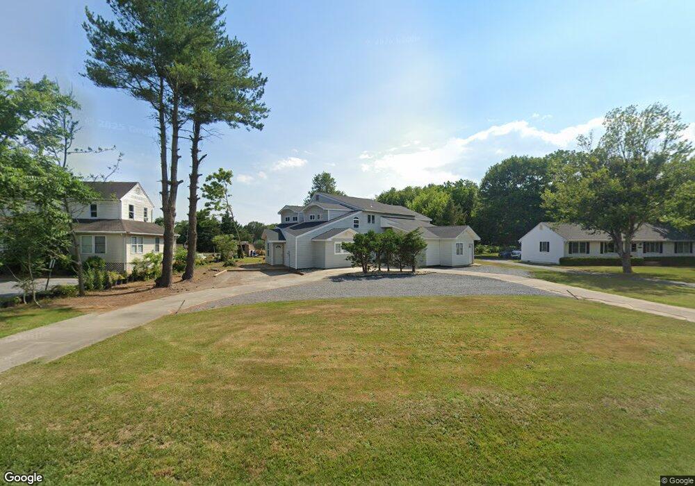
35648 Airport Rd Rehoboth Beach, DE 19971
Estimated Value: $342,522 - $829,000
--
Bed
--
Bath
--
Sq Ft
0.67
Acres
About This Home
This home is located at 35648 Airport Rd, Rehoboth Beach, DE 19971 and is currently estimated at $513,381. 35648 Airport Rd is a home with nearby schools including Rehoboth Elementary School, Mariner Middle School, and Cape Henlopen High School.
Ownership History
Date
Name
Owned For
Owner Type
Purchase Details
Closed on
Jul 18, 2014
Sold by
Nick Nick
Bought by
Omr Llc
Current Estimated Value
Purchase Details
Closed on
Oct 1, 2013
Sold by
Wolfe Mark A
Bought by
Halsey Nick
Home Financials for this Owner
Home Financials are based on the most recent Mortgage that was taken out on this home.
Original Mortgage
$205,000
Interest Rate
4.61%
Purchase Details
Closed on
Sep 20, 2013
Sold by
Wolfe Mark A
Bought by
Halsey Nick
Home Financials for this Owner
Home Financials are based on the most recent Mortgage that was taken out on this home.
Original Mortgage
$205,000
Interest Rate
4.61%
Purchase Details
Closed on
Sep 6, 2012
Sold by
Delaware Land Holdings Llc
Bought by
Wolfe Mark A
Purchase Details
Closed on
Sep 5, 2012
Sold by
Delaware Land Holdings Llc
Bought by
Wolfe Mark A
Create a Home Valuation Report for This Property
The Home Valuation Report is an in-depth analysis detailing your home's value as well as a comparison with similar homes in the area
Home Values in the Area
Average Home Value in this Area
Purchase History
| Date | Buyer | Sale Price | Title Company |
|---|---|---|---|
| Omr Llc | -- | -- | |
| Halsey Nick | $175,000 | -- | |
| Halsey Nick | $175,000 | -- | |
| Wolfe Mark A | -- | -- | |
| Wolfe Mark A | -- | -- |
Source: Public Records
Mortgage History
| Date | Status | Borrower | Loan Amount |
|---|---|---|---|
| Previous Owner | Halsey Nick | $205,000 | |
| Previous Owner | Halsey Nick | $205,000 |
Source: Public Records
Tax History Compared to Growth
Tax History
| Year | Tax Paid | Tax Assessment Tax Assessment Total Assessment is a certain percentage of the fair market value that is determined by local assessors to be the total taxable value of land and additions on the property. | Land | Improvement |
|---|---|---|---|---|
| 2025 | $1,308 | $14,250 | $3,250 | $11,000 |
| 2024 | $702 | $14,250 | $3,250 | $11,000 |
| 2023 | $702 | $14,250 | $3,250 | $11,000 |
| 2022 | $677 | $14,250 | $3,250 | $11,000 |
| 2021 | $671 | $14,250 | $3,250 | $11,000 |
| 2020 | $669 | $14,250 | $3,250 | $11,000 |
| 2019 | $670 | $14,250 | $3,250 | $11,000 |
| 2018 | $626 | $14,250 | $0 | $0 |
| 2017 | $599 | $14,250 | $0 | $0 |
| 2016 | $569 | $14,250 | $0 | $0 |
| 2015 | $544 | $14,250 | $0 | $0 |
| 2014 | $540 | $14,250 | $0 | $0 |
Source: Public Records
Map
Nearby Homes
- 207 Loganberry Ln
- 109 Strawberry Way
- 1400 Pebble Dr Unit 1424
- 226 Salt Forest Ln
- 34398 Bronze St Unit 22B
- 200 Pebble Dr Unit 224
- 35553 Dry Brook Dr
- 2 Lauras Way Unit 14
- 35948 Haven Dr Unit D206
- 35948 Haven Dr Unit 201
- 300 Pebble Dr Unit 321
- 35560 Dry Brook Dr
- 35473 Mercury Dr Unit 41A
- 111 Seabright Way Unit E3
- 19400 Loblolly Cir Unit 32
- 100 Cascade Ln Unit 101
- 100 Cascade Ln Unit 124
- 36104 Knight St Unit 146
- 19360 Loblolly Cir
- 35510 Copper Dr S Unit 63B
- 35638 Airport Rd
- 35658 Airport Rd
- 35671 Airport Rd
- Lot 149 Spring Breeze Dr
- 8 Sea Side Dr
- 96 Spring Breeze Dr
- 35681 Airport Rd
- 35629 Airport Rd
- 35623 Airport Rd
- 13 Sea Side Dr
- 35689 Airport Rd
- 35607 Airport Rd
- 41 Ocean Breeze Dr
- 11 Sea Side Dr
- 6 Sea Side Dr
- 9 Sea Side Dr
- 0 Airport Rd Unit 1000998390
- 0 Airport Rd Unit 608384
- 35599 Airport Rd
- 2 Ocean Breeze Dr