3566 Highway 431 Columbia, TN 38401
Estimated Value: $623,000 - $936,000
6
Beds
4
Baths
3,824
Sq Ft
$215/Sq Ft
Est. Value
About This Home
This home is located at 3566 Highway 431, Columbia, TN 38401 and is currently estimated at $820,957, approximately $214 per square foot. 3566 Highway 431 is a home located in Maury County with nearby schools including Marvin Wright Elementary School, Battle Creek Middle School, and Spring Hill High School.
Ownership History
Date
Name
Owned For
Owner Type
Purchase Details
Closed on
Feb 24, 2015
Sold by
Childress Brenda Joyce
Bought by
Reed Carl L and Reed Ruby
Current Estimated Value
Purchase Details
Closed on
Dec 22, 2014
Sold by
Waller Doris Jean and Childress Brenda Joyce
Bought by
Childress James H and Childress Christine Elaine
Purchase Details
Closed on
Nov 24, 2014
Sold by
Childress Brenda J
Bought by
Childress James H and Childress Christine Elaine
Purchase Details
Closed on
Oct 31, 2008
Sold by
Poteete Katherine R and Poteete Harold D
Bought by
Davis Ronald E and Davis Lynne C
Purchase Details
Closed on
Sep 14, 2006
Sold by
Childress James Harold and Childress Brenda J
Bought by
Childress James H and Childress Christine Elaine
Purchase Details
Closed on
Aug 9, 1999
Sold by
Davis John L
Bought by
Gray Daniclaire
Home Financials for this Owner
Home Financials are based on the most recent Mortgage that was taken out on this home.
Original Mortgage
$30,000
Interest Rate
7.7%
Mortgage Type
Purchase Money Mortgage
Purchase Details
Closed on
May 8, 1998
Sold by
Childress Lawrence
Bought by
Poteete Harold D and Poteete Katherine R
Purchase Details
Closed on
Dec 12, 1996
Sold by
Lawrence Childress
Bought by
Davis John L
Purchase Details
Closed on
Apr 16, 1995
Bought by
Childress Lawrence
Purchase Details
Closed on
Jan 21, 1986
Bought by
Lewisburg Pike Prop
Create a Home Valuation Report for This Property
The Home Valuation Report is an in-depth analysis detailing your home's value as well as a comparison with similar homes in the area
Home Values in the Area
Average Home Value in this Area
Purchase History
| Date | Buyer | Sale Price | Title Company |
|---|---|---|---|
| Reed Carl L | -- | None Available | |
| Reed Carl L | $50,000 | None Available | |
| Childress James H | $5,000 | None Available | |
| Childress James H | -- | None Available | |
| Davis Ronald E | $126,000 | Land Title South Inc | |
| Poteete Katherine R | -- | Land Title South Inc | |
| Childress James H | -- | Heritage Title & Escrow Co I | |
| Gray Daniclaire | $15,000 | -- | |
| Poteete Harold D | -- | Mid State Title & Escrow Inc | |
| Davis John L | $10,250 | -- | |
| Childress Lawrence | $62,500 | -- | |
| Lewisburg Pike Prop | -- | -- |
Source: Public Records
Mortgage History
| Date | Status | Borrower | Loan Amount |
|---|---|---|---|
| Previous Owner | Lewisburg Pike Prop | $22,800 | |
| Previous Owner | Gray Daniclaire | $30,000 |
Source: Public Records
Tax History Compared to Growth
Tax History
| Year | Tax Paid | Tax Assessment Tax Assessment Total Assessment is a certain percentage of the fair market value that is determined by local assessors to be the total taxable value of land and additions on the property. | Land | Improvement |
|---|---|---|---|---|
| 2024 | $901 | $173,225 | $23,725 | $149,500 |
| 2023 | $109 | $5,725 | $5,725 | -- |
| 2022 | $109 | $5,725 | $5,725 | $0 |
| 2021 | $109 | $4,625 | $4,625 | $0 |
| 2020 | $103 | $4,625 | $4,625 | $0 |
| 2019 | $103 | $4,625 | $4,625 | $0 |
| 2018 | $103 | $4,625 | $4,625 | $0 |
| 2017 | $105 | $3,725 | $3,725 | $0 |
| 2016 | $105 | $3,725 | $3,725 | $0 |
| 2015 | $227 | $8,675 | $7,600 | $1,075 |
| 2014 | $264 | $10,075 | $7,800 | $2,275 |
Source: Public Records
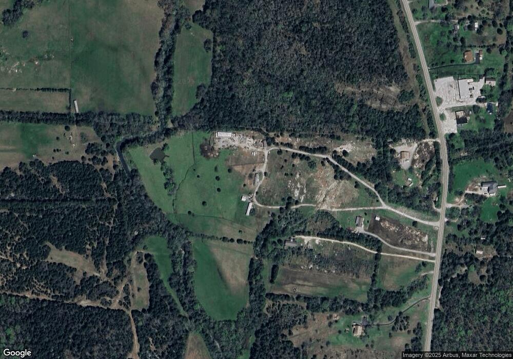
Map
Nearby Homes
- 6104 Cedar Run Ln
- 6011 Woodstock Ln
- 6008 Woodstock Ln
- 5240 Will Brown Rd
- 6100 Cedar Run Ln
- 5232 Will Brown Rd
- 6101 Cedar Run Ln
- 6001 Woodstock Ln
- Alpine Plan at Trace Side
- Winston Plan at Trace Side
- Choral Plan at Trace Side
- 6000 Woodstock Ln
- 6204 Cedar Brooke Ln
- 6208 Cedar Brooke Ln
- 6216 Cedar Brooke Ln
- 6223 Cedar Brooke Ln
- 6220 Cedar Brooke Ln
- 6227 Cedar Brooke Ln
- 5155 Will Brown Rd
- 5010 John Lee Johnson Rd
- 3568 Highway 431
- 3568 Hwy 431
- 3554 Highway 431
- 3554 U S 431
- 3564 U S 431
- 3562 Hwy 431
- 3562 Highway 431
- 3556 Highway 431
- 3556 Highway 431
- 3543 Highway 431
- 3519 Highway 431
- 3541 U S 431
- 3551 Highway 431
- 3560 Highway 431
- 3535 U S 431
- 3545 Highway 431
- 3505 Highway 431
- 3541 Highway 431
- 3541 Hwy 431
- 2034 Tobe Robertson Rd