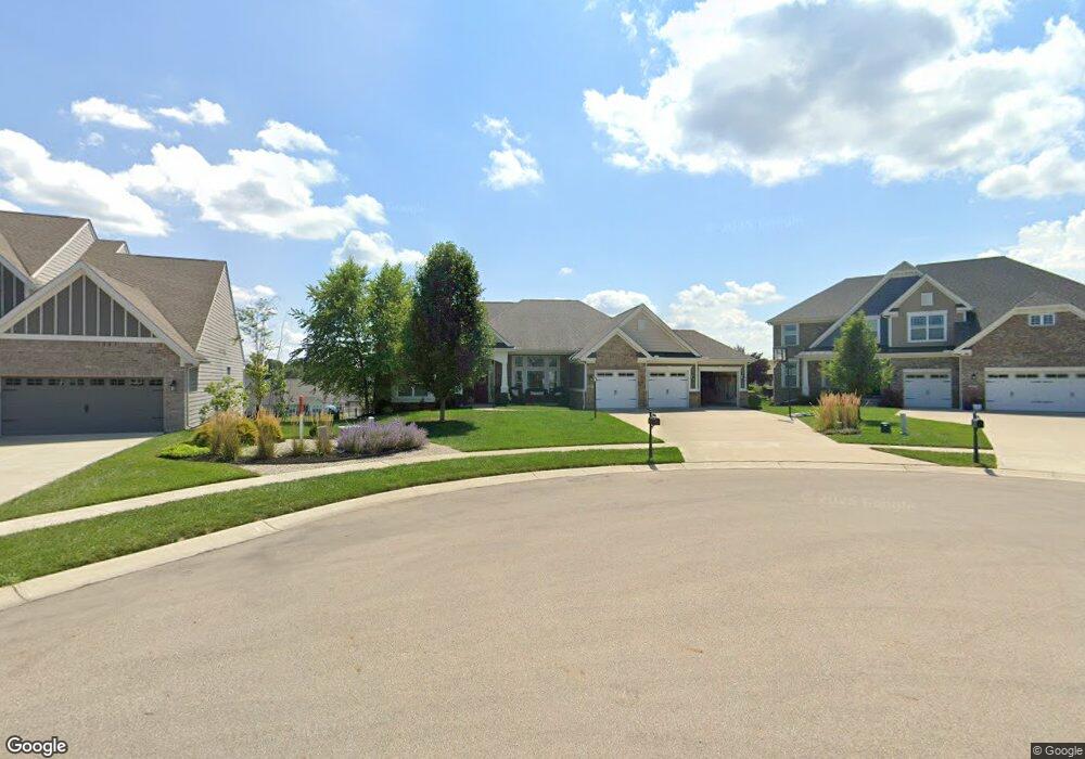
3567 Cypress Pointe Dr Bellbrook, OH 45305
Estimated Value: $606,569 - $742,000
3
Beds
3
Baths
2,454
Sq Ft
$272/Sq Ft
Est. Value
About This Home
This home is located at 3567 Cypress Pointe Dr, Bellbrook, OH 45305 and is currently estimated at $668,642, approximately $272 per square foot. 3567 Cypress Pointe Dr is a home with nearby schools including Bell Creek Intermediate School, Stephen Bell Elementary School, and Bellbrook Middle School.
Ownership History
Date
Name
Owned For
Owner Type
Purchase Details
Closed on
Mar 24, 2017
Sold by
Inverness Group Inc
Bought by
Puckett Carl D and Puckett Angela D
Current Estimated Value
Home Financials for this Owner
Home Financials are based on the most recent Mortgage that was taken out on this home.
Original Mortgage
$360,000
Outstanding Balance
$294,316
Interest Rate
4.1%
Mortgage Type
New Conventional
Estimated Equity
$374,326
Create a Home Valuation Report for This Property
The Home Valuation Report is an in-depth analysis detailing your home's value as well as a comparison with similar homes in the area
Home Values in the Area
Average Home Value in this Area
Purchase History
| Date | Buyer | Sale Price | Title Company |
|---|---|---|---|
| Puckett Carl D | $488,500 | None Available |
Source: Public Records
Mortgage History
| Date | Status | Borrower | Loan Amount |
|---|---|---|---|
| Open | Puckett Carl D | $360,000 |
Source: Public Records
Tax History
| Year | Tax Paid | Tax Assessment Tax Assessment Total Assessment is a certain percentage of the fair market value that is determined by local assessors to be the total taxable value of land and additions on the property. | Land | Improvement |
|---|---|---|---|---|
| 2025 | $11,207 | $195,470 | $26,500 | $168,970 |
| 2024 | $11,207 | $195,470 | $26,500 | $168,970 |
| 2023 | $11,018 | $195,470 | $26,500 | $168,970 |
| 2022 | $11,003 | $162,350 | $26,500 | $135,850 |
| 2021 | $11,126 | $162,350 | $26,500 | $135,850 |
| 2020 | $10,410 | $162,350 | $26,500 | $135,850 |
| 2019 | $10,177 | $145,620 | $24,400 | $121,220 |
| 2018 | $10,194 | $19,520 | $19,520 | $0 |
| 2017 | $0 | $19,520 | $19,520 | $0 |
| 2016 | $0 | $0 | $0 | $0 |
Source: Public Records
Map
Nearby Homes
- 3656 Persimmon Ridge Place
- 3604 Cypress Pointe Dr
- 3605 Cypress Pointe Dr
- 3608 Cypress Pointe Dr
- 3613 Cypress Pointe Dr
- 3634 Marwood Dr
- 208 Pinegrove Dr
- 1399 Heritage Trace Ct
- 1374 Rose Lake Dr
- 1478 Country Wood Dr
- 45 N East St Unit 45
- 1667 Ardennes Oak Dr
- 3617 Shellbark Dr
- 3553 Shellbark Dr
- 50 Tate Dr
- 42 Deerpath Cir
- 3938 Liam Ct
- 40 Deerpath Cir
- 2016 Wentworth Village Dr Unit 2016
- 2085 Regent Park Dr
- 3559 Cypress Pointe Dr
- 3571 Cypress Pointe Dr
- 3577 Cypress Pointe Dr
- 3551 Cypress Pointe Dr
- 3581 Cypress Pointe Dr
- 3566 Cypress Pointe Dr
- 3551 Marwood Dr
- 3533 Marwood Dr
- 3543 Cypress Pointe Dr
- 3527 Marwood Dr
- 3539 Marwood Dr
- 3533 Marwood Dr
- 3545 Marwood Dr
- 3557 Marwood Dr
- 3582 Cypress Pointe Dr
- 3585 Cypress Pointe Dr
- 3542 Marwood Dr
- 3535 Cypress Pointe Dr
- 3563 Marwood Dr
- 3521 Marwood Dr
Your Personal Tour Guide
Ask me questions while you tour the home.