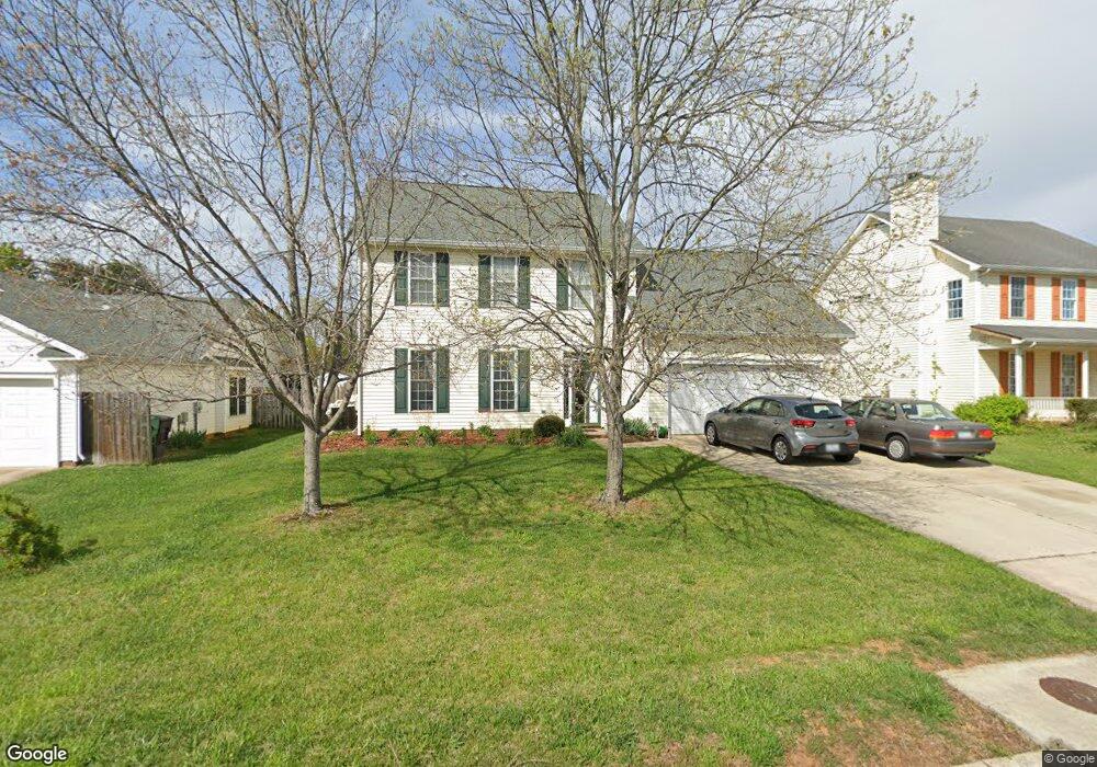
3569 Bent Trace Dr High Point, NC 27265
Bent Tree NeighborhoodEstimated Value: $320,000 - $389,000
3
Beds
3
Baths
2,303
Sq Ft
$156/Sq Ft
Est. Value
About This Home
This home is located at 3569 Bent Trace Dr, High Point, NC 27265 and is currently estimated at $358,541, approximately $155 per square foot. 3569 Bent Trace Dr is a home located in Guilford County with nearby schools including Southwest Elementary School, Southwest Guilford Middle School, and Southwest Guilford High School.
Ownership History
Date
Name
Owned For
Owner Type
Purchase Details
Closed on
Jul 11, 2025
Sold by
Heap Mark David
Bought by
Heap Susan M
Current Estimated Value
Purchase Details
Closed on
Dec 13, 1999
Sold by
Horton D R Inc Greensboro
Bought by
Heap Mark David and Heap Susan M
Home Financials for this Owner
Home Financials are based on the most recent Mortgage that was taken out on this home.
Original Mortgage
$148,000
Interest Rate
7.5%
Create a Home Valuation Report for This Property
The Home Valuation Report is an in-depth analysis detailing your home's value as well as a comparison with similar homes in the area
Home Values in the Area
Average Home Value in this Area
Purchase History
| Date | Buyer | Sale Price | Title Company |
|---|---|---|---|
| Heap Susan M | -- | None Listed On Document | |
| Heap Mark David | $166,500 | -- |
Source: Public Records
Mortgage History
| Date | Status | Borrower | Loan Amount |
|---|---|---|---|
| Previous Owner | Heap Mark David | $148,000 |
Source: Public Records
Tax History
| Year | Tax Paid | Tax Assessment Tax Assessment Total Assessment is a certain percentage of the fair market value that is determined by local assessors to be the total taxable value of land and additions on the property. | Land | Improvement |
|---|---|---|---|---|
| 2025 | $4,086 | $296,500 | $60,000 | $236,500 |
| 2024 | $4,086 | $296,500 | $60,000 | $236,500 |
| 2023 | $4,086 | $296,500 | $60,000 | $236,500 |
| 2022 | $3,997 | $296,500 | $60,000 | $236,500 |
| 2021 | $2,552 | $185,200 | $34,000 | $151,200 |
| 2020 | $2,552 | $185,200 | $34,000 | $151,200 |
| 2019 | $2,552 | $185,200 | $0 | $0 |
| 2018 | $2,539 | $185,200 | $0 | $0 |
| 2017 | $2,552 | $185,200 | $0 | $0 |
| 2016 | $2,461 | $175,500 | $0 | $0 |
| 2015 | $2,475 | $175,500 | $0 | $0 |
| 2014 | $2,517 | $175,500 | $0 | $0 |
Source: Public Records
Map
Nearby Homes
- 4413 Edbury Ct
- 3477 Lilliefield Ln
- 748 Carneros Cir
- 770 King Fisher Ln
- 3273 Alyssa Way
- 715 Piedmont Crossing Dr Unit 14
- 4323 Holstein Dr
- 3650 Single Leaf Ct
- 3023 Maple Branch Dr
- 4710 Willowstone Dr
- 4712 Willowstone Dr
- 4714 Willowstone Dr
- 4716 Willowstone Dr
- 3740 Cottesmore Dr
- 4722 Willowstone Dr
- 4711 Willowstone Dr
- 4713 Willowstone Dr
- 4715 Willowstone Dr
- 4723 Willowstone Dr
- 4725 Willowstone Dr
- 3565 Bent Trace Dr
- 3573 Bent Trace Dr
- 3561 Bent Trace Dr
- 3577 Bent Trace Dr
- 3658 Wood Cove Dr
- 3654 Wood Cove Dr
- 3572 Bent Trace Dr
- 3662 Wood Cove Dr
- 3581 Bent Trace Dr
- 3568 Bent Trace Dr
- 3580 Bent Trace Dr
- 3564 Bent Trace Dr
- 3584 Bent Trace Dr
- 3585 Bent Trace Dr
- 3666 Wood Cove Dr
- 3652 Oak Chase Dr
- 3553 Bent Trace Dr
- 3588 Bent Trace Dr
- 3648 Oak Chase Dr
- 3670 Wood Cove Dr
Your Personal Tour Guide
Ask me questions while you tour the home.