357 Maple St Coloma, MI 49038
Estimated Value: $236,000 - $250,557
4
Beds
2
Baths
1,620
Sq Ft
$150/Sq Ft
Est. Value
About This Home
This home is located at 357 Maple St, Coloma, MI 49038 and is currently estimated at $242,639, approximately $149 per square foot. 357 Maple St is a home located in Berrien County with nearby schools including Coloma Elementary School, Coloma Intermediate School, and Coloma Junior High School.
Ownership History
Date
Name
Owned For
Owner Type
Purchase Details
Closed on
Dec 28, 2021
Sold by
Mae Williams Karen
Bought by
Williams Karen Mae
Current Estimated Value
Purchase Details
Closed on
Jan 10, 2001
Purchase Details
Closed on
May 24, 1997
Purchase Details
Closed on
Oct 23, 1995
Purchase Details
Closed on
Aug 16, 1994
Purchase Details
Closed on
Aug 15, 1994
Purchase Details
Closed on
Sep 8, 1987
Purchase Details
Closed on
Aug 2, 1983
Purchase Details
Closed on
May 26, 1977
Purchase Details
Closed on
Jan 12, 1977
Create a Home Valuation Report for This Property
The Home Valuation Report is an in-depth analysis detailing your home's value as well as a comparison with similar homes in the area
Home Values in the Area
Average Home Value in this Area
Purchase History
| Date | Buyer | Sale Price | Title Company |
|---|---|---|---|
| Williams Karen Mae | -- | None Listed On Document | |
| -- | $100 | -- | |
| -- | $108,900 | -- | |
| -- | $80,000 | -- | |
| -- | $77,900 | -- | |
| -- | $67,500 | -- | |
| -- | $53,000 | -- | |
| -- | -- | -- | |
| -- | $53,000 | -- | |
| -- | $32,900 | -- | |
| -- | $32,900 | -- |
Source: Public Records
Tax History
| Year | Tax Paid | Tax Assessment Tax Assessment Total Assessment is a certain percentage of the fair market value that is determined by local assessors to be the total taxable value of land and additions on the property. | Land | Improvement |
|---|---|---|---|---|
| 2025 | $2,464 | $121,600 | $0 | $0 |
| 2024 | $2,008 | $121,300 | $0 | $0 |
| 2023 | $1,923 | $100,300 | $0 | $0 |
| 2022 | $1,831 | $90,900 | $0 | $0 |
| 2021 | $2,226 | $79,800 | $6,600 | $73,200 |
| 2020 | $2,229 | $74,700 | $0 | $0 |
| 2019 | $2,189 | $56,200 | $6,400 | $49,800 |
| 2018 | $2,140 | $56,200 | $0 | $0 |
| 2017 | $2,031 | $55,300 | $0 | $0 |
| 2016 | $1,993 | $57,000 | $0 | $0 |
| 2015 | $1,983 | $58,800 | $0 | $0 |
| 2014 | $1,576 | $49,600 | $0 | $0 |
Source: Public Records
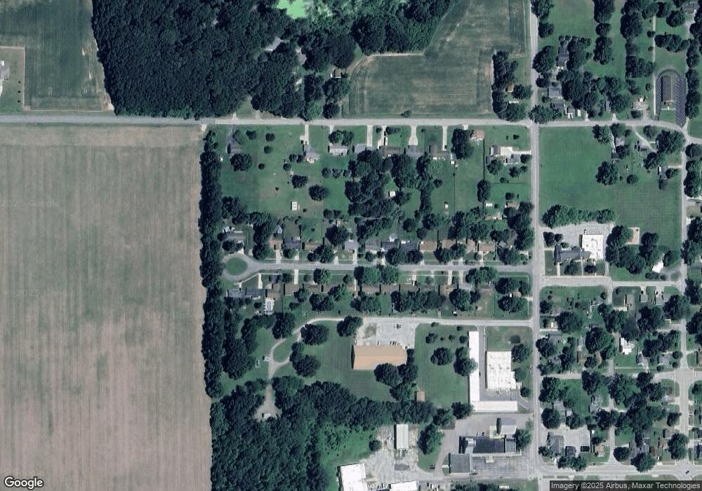
Map
Nearby Homes
- 0 Wilson St
- 3190/3198 Prospect St
- 189 Banks St
- 0 Sycamore Bluff
- 321 E Center St
- 6754 Paw Ave
- 4749 Wil-O-paw Dr
- 4801 Wil-O-paw Dr
- 4568 Wil-O-paw Dr
- 5682 Topanga Dr
- 6582 Ryno Rd
- 5081 Woodward
- 6950 Shore Dr
- 7039 Curtis Dr
- 7030 N Maple Dr
- 0 Mountain Rd
- 2916 Pershing Dr
- 5251 Paw Lake Rd Unit 16
- 7285 Paw Ave
- 7349 Red Arrow Hwy
Your Personal Tour Guide
Ask me questions while you tour the home.