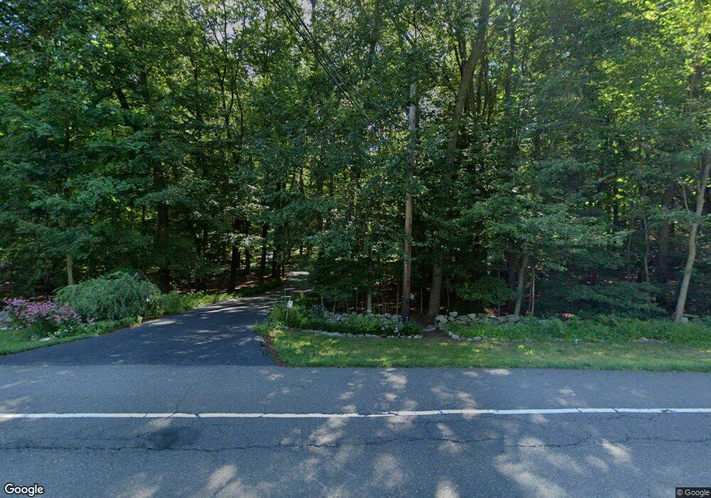
357 New Canaan Rd Wilton, CT 06897
Estimated Value: $1,127,000 - $1,281,000
4
Beds
3
Baths
2,740
Sq Ft
$443/Sq Ft
Est. Value
About This Home
This home is located at 357 New Canaan Rd, Wilton, CT 06897 and is currently estimated at $1,214,409, approximately $443 per square foot. 357 New Canaan Rd is a home located in Fairfield County with nearby schools including Miller-Driscoll School, Cider Mill School, and Middlebrook School.
Ownership History
Date
Name
Owned For
Owner Type
Purchase Details
Closed on
Jul 1, 2005
Sold by
Presbytery S New Eng I
Bought by
Graybill David J and Garybill Susan W
Current Estimated Value
Home Financials for this Owner
Home Financials are based on the most recent Mortgage that was taken out on this home.
Original Mortgage
$646,000
Interest Rate
5.25%
Mortgage Type
Adjustable Rate Mortgage/ARM
Create a Home Valuation Report for This Property
The Home Valuation Report is an in-depth analysis detailing your home's value as well as a comparison with similar homes in the area
Home Values in the Area
Average Home Value in this Area
Purchase History
| Date | Buyer | Sale Price | Title Company |
|---|---|---|---|
| Graybill David J | $807,500 | -- |
Source: Public Records
Mortgage History
| Date | Status | Borrower | Loan Amount |
|---|---|---|---|
| Closed | Graybill David J | $404,000 | |
| Closed | Graybill David J | $540,000 | |
| Closed | Graybill David J | $562,000 | |
| Closed | Graybill David J | $646,000 |
Source: Public Records
Tax History Compared to Growth
Tax History
| Year | Tax Paid | Tax Assessment Tax Assessment Total Assessment is a certain percentage of the fair market value that is determined by local assessors to be the total taxable value of land and additions on the property. | Land | Improvement |
|---|---|---|---|---|
| 2025 | $17,224 | $705,600 | $304,500 | $401,100 |
| 2024 | $16,892 | $705,600 | $304,500 | $401,100 |
| 2023 | $15,247 | $521,080 | $282,730 | $238,350 |
| 2022 | $14,710 | $521,080 | $282,730 | $238,350 |
| 2021 | $14,522 | $521,080 | $282,730 | $238,350 |
| 2020 | $14,309 | $521,080 | $282,730 | $238,350 |
| 2019 | $14,872 | $521,080 | $282,730 | $238,350 |
| 2018 | $13,620 | $483,140 | $296,660 | $186,480 |
| 2017 | $13,417 | $483,140 | $296,660 | $186,480 |
| 2016 | $13,209 | $483,140 | $296,660 | $186,480 |
| 2015 | $12,963 | $483,140 | $296,660 | $186,480 |
| 2014 | $12,808 | $483,140 | $296,660 | $186,480 |
Source: Public Records
Map
Nearby Homes
- 181 Old Boston Rd
- 860 Silvermine Rd
- 30L Huckleberry Hill Rd
- 256 Mill Rd
- 152L Carter St
- 158L Carter St
- 67 Carter St
- 136L Carter St
- 140L Carter St
- 250 Carter St
- 114 Ferris Hill Rd
- 59 Snowberry Ln
- 199 Mariomi Rd
- 106A Comstock Hill Ave
- 262 Brushy Ridge Rd
- 152 Long Lots Rd
- 332 Belden Hill Rd
- 515 Carter St
- 515 Belden Hill Rd
- 240 Rosebrook Rd
- 166 Old Kings Hwy
- 351 New Canaan Rd
- 367 New Canaan Rd
- 167 Old Kings Hwy
- 295 New Canaan Rd
- 160 Old Kings Hwy
- 175 Old Kings Hwy
- 154 Old Kings Hwy
- 293 New Canaan Rd
- 177 Old Kings Hwy
- 174 Old Kings Hwy
- 354 New Canaan Rd
- 157 Old Kings Hwy
- 14 Kings Ln
- 364 New Canaan Rd
- 162 Old Kings Hwy
- 150 Old Kings Hwy
- 342 New Canaan Rd
- 185 Old Kings Hwy
- 368 New Canaan Rd