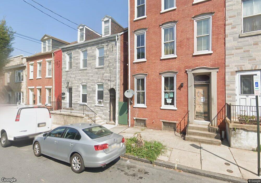
357 S Queen St Lancaster, PA 17603
Southside Lancaster NeighborhoodEstimated Value: $195,000 - $229,000
4
Beds
2
Baths
1,912
Sq Ft
$112/Sq Ft
Est. Value
About This Home
This home is located at 357 S Queen St, Lancaster, PA 17603 and is currently estimated at $214,815, approximately $112 per square foot. 357 S Queen St is a home located in Lancaster County with nearby schools including Carter & MacRae Elementary School, Reynolds Middle School, and McCaskey High School.
Ownership History
Date
Name
Owned For
Owner Type
Purchase Details
Closed on
Jul 31, 2007
Sold by
Tirado Ramon and Tirado Carmen D
Bought by
Clayton Michael E and Jones Tammy L
Current Estimated Value
Home Financials for this Owner
Home Financials are based on the most recent Mortgage that was taken out on this home.
Original Mortgage
$49,500
Outstanding Balance
$31,453
Interest Rate
6.73%
Mortgage Type
Purchase Money Mortgage
Estimated Equity
$183,362
Create a Home Valuation Report for This Property
The Home Valuation Report is an in-depth analysis detailing your home's value as well as a comparison with similar homes in the area
Home Values in the Area
Average Home Value in this Area
Purchase History
| Date | Buyer | Sale Price | Title Company |
|---|---|---|---|
| Clayton Michael E | $55,000 | None Available |
Source: Public Records
Mortgage History
| Date | Status | Borrower | Loan Amount |
|---|---|---|---|
| Open | Clayton Michael E | $49,500 |
Source: Public Records
Tax History
| Year | Tax Paid | Tax Assessment Tax Assessment Total Assessment is a certain percentage of the fair market value that is determined by local assessors to be the total taxable value of land and additions on the property. | Land | Improvement |
|---|---|---|---|---|
| 2025 | $2,497 | $63,100 | $6,800 | $56,300 |
| 2024 | $2,497 | $63,100 | $6,800 | $56,300 |
| 2023 | $2,455 | $63,100 | $6,800 | $56,300 |
| 2022 | $2,353 | $63,100 | $6,800 | $56,300 |
| 2021 | $2,302 | $63,100 | $6,800 | $56,300 |
| 2020 | $2,302 | $63,100 | $6,800 | $56,300 |
| 2019 | $2,268 | $63,100 | $6,800 | $56,300 |
| 2018 | $2,642 | $63,100 | $6,800 | $56,300 |
| 2017 | $2,715 | $59,100 | $7,100 | $52,000 |
| 2016 | $2,690 | $59,100 | $7,100 | $52,000 |
| 2015 | $1,049 | $59,100 | $7,100 | $52,000 |
| 2014 | $2,347 | $59,100 | $7,100 | $52,000 |
Source: Public Records
Map
Nearby Homes
- 348 S Queen St
- 327 Beaver St
- 527 Locust St
- 532 North St
- 316 Beaver St
- 341 S Prince St
- 432 S Queen St
- 348 S Prince St
- 415 Church St
- 14 E Farnum St
- 412 Locust St
- 459 S Queen St
- 506 Beaver St
- 555 Woodward St
- 139 S Duke St
- 520 S Duke St
- 519 1/2 S Prince St
- 565 S Christian St
- 567 S Christian St
- 448 Fremont St
- 359 S Queen St
- 355 S Queen St
- 353 S Queen St
- 361 S Queen St
- 420 E Strawberry St
- 418 E Strawberry St
- 422 E Strawberry St
- 363 S Queen St
- 426 E Strawberry St
- 365 S Queen St
- 349 S Queen St Unit 3
- 349 S Queen St
- 428 E Strawberry St
- 367 S Queen St
- 347 S Queen St
- 434 E Strawberry St
- 13 E Andrew St
- 343 S Queen St
- 360 S Queen St
- 15 E Andrew St
Your Personal Tour Guide
Ask me questions while you tour the home.