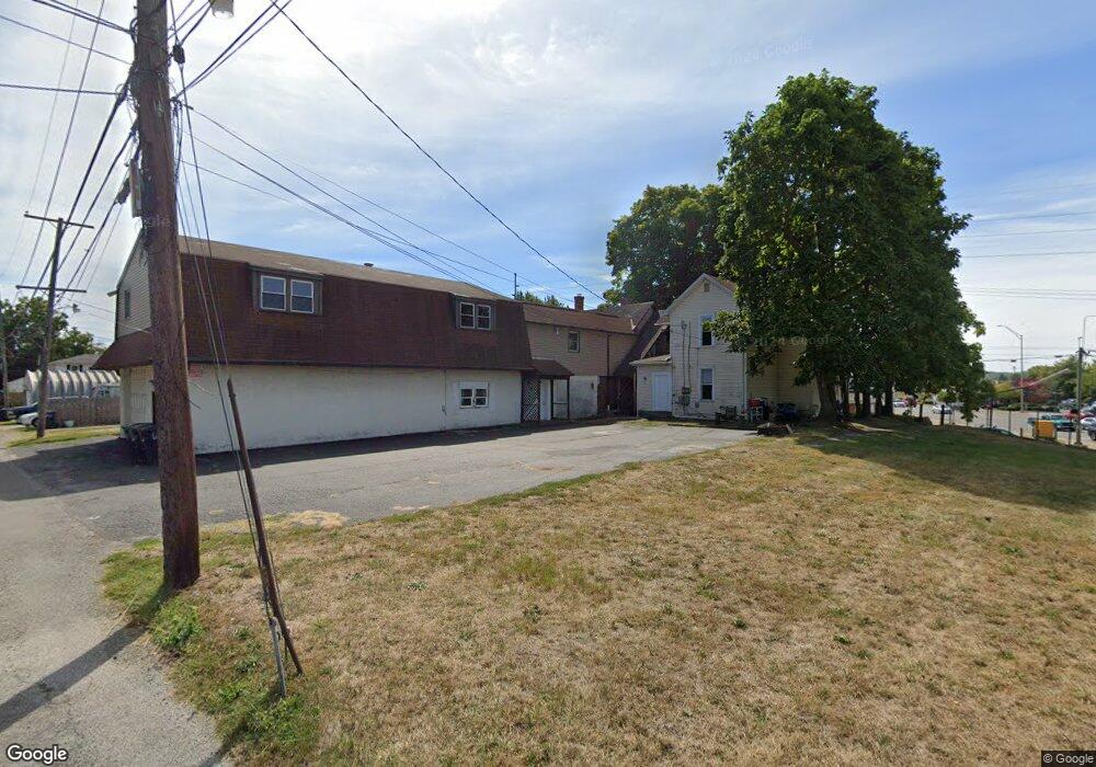
357 W Fair Ave Lancaster, OH 43130
Estimated Value: $30,163 - $130,000
Studio
2
Baths
--
Sq Ft
6,098
Sq Ft Lot
About This Home
This home is located at 357 W Fair Ave, Lancaster, OH 43130 and is currently estimated at $63,541. 357 W Fair Ave is a home located in Fairfield County with nearby schools including General Sherman Junior High School, Lancaster High School, and St Mary Elementary School.
Ownership History
Date
Name
Owned For
Owner Type
Purchase Details
Closed on
May 4, 2018
Sold by
Dunkins Diamonds & Gold Real Estate Inc
Bought by
Q Property Management Ltd
Current Estimated Value
Purchase Details
Closed on
Dec 29, 2006
Sold by
Wolfe Stephen A and Wolfe Carla
Bought by
Dunkins Diamonds & Gold Real Estate Inc
Purchase Details
Closed on
Feb 21, 2001
Sold by
Mccray Stewart J
Bought by
Wolfe Stephen A and Wolfe Jason A
Home Financials for this Owner
Home Financials are based on the most recent Mortgage that was taken out on this home.
Original Mortgage
$115,200
Interest Rate
9.5%
Mortgage Type
New Conventional
Purchase Details
Closed on
Jul 1, 1987
Create a Home Valuation Report for This Property
The Home Valuation Report is an in-depth analysis detailing your home's value as well as a comparison with similar homes in the area
Home Values in the Area
Average Home Value in this Area
Purchase History
| Date | Buyer | Sale Price | Title Company |
|---|---|---|---|
| Q Property Management Ltd | $16,000 | Axxis Title Agency Ltd | |
| Dunkins Diamonds & Gold Real Estate Inc | $69,000 | None Available | |
| Wolfe Stephen A | $128,000 | -- | |
| -- | $22,000 | -- |
Source: Public Records
Mortgage History
| Date | Status | Borrower | Loan Amount |
|---|---|---|---|
| Previous Owner | Wolfe Stephen A | $115,200 |
Source: Public Records
Tax History
| Year | Tax Paid | Tax Assessment Tax Assessment Total Assessment is a certain percentage of the fair market value that is determined by local assessors to be the total taxable value of land and additions on the property. | Land | Improvement |
|---|---|---|---|---|
| 2025 | $558 | $6,810 | $6,810 | -- |
| 2024 | $558 | $6,210 | $6,210 | -- |
| 2023 | $231 | $6,210 | $6,210 | -- |
| 2022 | $232 | $6,210 | $6,210 | $0 |
| 2021 | $248 | $6,210 | $6,210 | $0 |
| 2020 | $238 | $6,210 | $6,210 | $0 |
| 2019 | $226 | $6,210 | $6,210 | $0 |
| 2018 | $322 | $6,210 | $6,210 | $0 |
| 2017 | $322 | $8,390 | $8,390 | $0 |
| 2016 | $314 | $8,390 | $8,390 | $0 |
| 2015 | $323 | $8,390 | $8,390 | $0 |
| 2014 | $308 | $8,390 | $8,390 | $0 |
| 2013 | $308 | $8,390 | $8,390 | $0 |
Source: Public Records
Map
Nearby Homes
- 336 Reber Ave
- 330 Park St
- 925 N Columbus St
- 1156 Forest Rose Ave
- 0 Hillside Ave
- 130 W Fair Ave
- 932 Goodwin Ave
- 627 N Columbus St
- 123 Arnold Ave
- 820 N Broad St
- 0 Marks Ave Unit 225036443
- 526 N Columbus St
- 515 N Columbus St
- 844 Washington Ave
- 233 Union St
- 148 Marks Ave
- 181 Marks Ave
- 165 Lake St
- 1004 W Fair Ave
- 621 Washington Ave
Your Personal Tour Guide
Ask me questions while you tour the home.