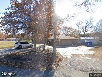
357 W Frink Rd McAlester, OK 74501
Estimated Value: $197,841 - $319,000
3
Beds
2
Baths
2,200
Sq Ft
$110/Sq Ft
Est. Value
About This Home
This home is located at 357 W Frink Rd, McAlester, OK 74501 and is currently estimated at $242,960, approximately $110 per square foot. 357 W Frink Rd is a home located in Pittsburg County with nearby schools including Mcalester Christian Academy and McAlester Christian Academy.
Ownership History
Date
Name
Owned For
Owner Type
Purchase Details
Closed on
Oct 29, 2021
Sold by
Sennett Lumae
Bought by
Weatherford Connie and Weatherford Connie Revocable
Current Estimated Value
Purchase Details
Closed on
May 26, 2017
Sold by
Brown Joe and Brown Alice Rocelle
Bought by
Sennett Lumae
Home Financials for this Owner
Home Financials are based on the most recent Mortgage that was taken out on this home.
Original Mortgage
$150,000
Interest Rate
4.08%
Mortgage Type
Commercial
Create a Home Valuation Report for This Property
The Home Valuation Report is an in-depth analysis detailing your home's value as well as a comparison with similar homes in the area
Home Values in the Area
Average Home Value in this Area
Purchase History
| Date | Buyer | Sale Price | Title Company |
|---|---|---|---|
| Weatherford Connie | $153,000 | None Available | |
| Sennett Lumae | -- | None Available |
Source: Public Records
Mortgage History
| Date | Status | Borrower | Loan Amount |
|---|---|---|---|
| Previous Owner | Foundation Energy Fund Vii-A L | $118,000 | |
| Previous Owner | Sennett Lumae | $150,000 |
Source: Public Records
Tax History Compared to Growth
Tax History
| Year | Tax Paid | Tax Assessment Tax Assessment Total Assessment is a certain percentage of the fair market value that is determined by local assessors to be the total taxable value of land and additions on the property. | Land | Improvement |
|---|---|---|---|---|
| 2024 | $1,387 | $18,525 | $330 | $18,195 |
| 2023 | $1,387 | $17,642 | $330 | $17,312 |
| 2022 | $1,316 | $16,830 | $323 | $16,507 |
| 2021 | $1,284 | $16,382 | $323 | $16,059 |
| 2020 | $835 | $10,727 | $498 | $10,229 |
| 2019 | $799 | $10,727 | $498 | $10,229 |
| 2018 | $760 | $9,730 | $498 | $9,232 |
| 2017 | $733 | $9,266 | $498 | $8,768 |
| 2016 | $699 | $8,825 | $498 | $8,327 |
| 2015 | $662 | $8,825 | $498 | $8,327 |
| 2014 | $661 | $8,825 | $498 | $8,327 |
Source: Public Records
Map
Nearby Homes
- 2458 Shuman Rd
- 0 S Main St
- 487 Bucklucksy Rd
- 67 S Cable Rd
- 308 Bluebird Ln
- 312 Bluebird Ln
- 59 Heatherwood Way
- 3101 Hardy Springs Rd
- 2707 Brookside Cir
- 0000 Barnett Rd
- 1904 Sandpiper St
- 152 W Turnpike Rd
- 805 Hardy Springs Cir
- 1910 Cardinal Ln
- 1902 Cardinal Ln
- 0 Hardy Springs Cir
- 602 Flamingo Rd
- 1813 Mockingbird Ln
- 505 Dove Dr
- 1800 Cardinal Ln
- 357 W Frink Rd
- 338 W Frink Rd
- 5521 Frink Rd
- 2120 Frink Rd
- 250 W Frink Rd
- 2110 Frink Rd
- 2030 Frink Rd
- 2030 Frink Rd
- 198 W Turnpike Rd
- 274 W Turnpike Rd
- 198 W Turnpike Rd
- 3612 Shuman Rd
- 143 W Frink Rd
- 128 W Frink Rd
- 91 W Frink Rd
- 6298 Frink Rd
- 4884 S Us Highway 69
- 55 Frink Rd
- 4030 Frink Rd
- 103 Frink Rd