35748 Twin Pond Ln Pequot Lakes, MN 56472
Estimated Value: $1,377,000 - $1,804,000
4
Beds
4
Baths
2,272
Sq Ft
$674/Sq Ft
Est. Value
About This Home
This home is located at 35748 Twin Pond Ln, Pequot Lakes, MN 56472 and is currently estimated at $1,531,886, approximately $674 per square foot. 35748 Twin Pond Ln is a home located in Crow Wing County with nearby schools including Eagle View Elementary School, Pequot Lakes Middle School, and Pequot Lakes Senior High School.
Ownership History
Date
Name
Owned For
Owner Type
Purchase Details
Closed on
Jan 22, 2025
Sold by
County Of Crow Wing
Bought by
Melvin G Enger Living Trust and Debra L Enger Living Trust
Current Estimated Value
Purchase Details
Closed on
Jan 14, 2025
Sold by
Enger Melvin G and Enger Debra L
Bought by
Melvin G Enger Living Trust and Debra L Enger Living Trust
Purchase Details
Closed on
Aug 19, 2016
Sold by
Terp Jon Jon
Bought by
Enger Melvin and Enger Debra
Purchase Details
Closed on
Apr 1, 2004
Sold by
Kuhne Kevin and Kuhne Jennifer
Bought by
Terp Thoedore and Terp Jon
Purchase Details
Closed on
Dec 1, 1994
Sold by
Streiber Donal
Bought by
Kuhne Kevin S
Create a Home Valuation Report for This Property
The Home Valuation Report is an in-depth analysis detailing your home's value as well as a comparison with similar homes in the area
Home Values in the Area
Average Home Value in this Area
Purchase History
| Date | Buyer | Sale Price | Title Company |
|---|---|---|---|
| Melvin G Enger Living Trust | -- | -- | |
| Melvin G Enger Living Trust | $500 | None Listed On Document | |
| Enger Melvin | $745,000 | -- | |
| Terp Thoedore | $500,000 | -- | |
| Kuhne Kevin S | $152,500 | -- |
Source: Public Records
Tax History Compared to Growth
Tax History
| Year | Tax Paid | Tax Assessment Tax Assessment Total Assessment is a certain percentage of the fair market value that is determined by local assessors to be the total taxable value of land and additions on the property. | Land | Improvement |
|---|---|---|---|---|
| 2025 | $6,852 | $1,398,400 | $814,800 | $583,600 |
| 2024 | $6,852 | $1,245,500 | $700,000 | $545,500 |
| 2023 | $5,756 | $1,307,600 | $717,300 | $590,300 |
| 2022 | $5,318 | $964,300 | $492,500 | $471,800 |
| 2021 | $5,366 | $715,800 | $376,900 | $338,900 |
| 2020 | $5,482 | $686,100 | $362,100 | $324,000 |
| 2019 | $5,238 | $700,100 | $371,700 | $328,400 |
| 2018 | $4,892 | $659,800 | $363,700 | $296,100 |
| 2017 | $4,570 | $621,300 | $347,300 | $274,000 |
| 2016 | $4,684 | $579,100 | $326,300 | $252,800 |
| 2015 | $4,946 | $597,600 | $358,700 | $238,900 |
| 2014 | $2,509 | $589,700 | $350,100 | $239,600 |
Source: Public Records
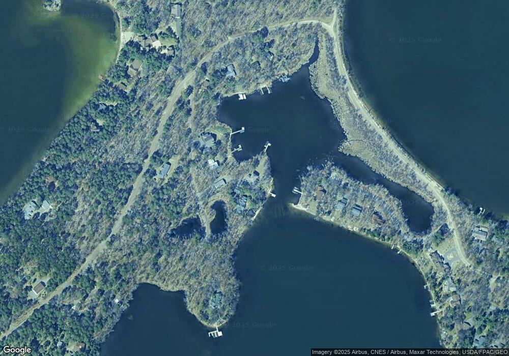
Map
Nearby Homes
- 8441 N Clamshell Ln
- 7972 Ruttger Rd
- 35403 Vacation Dr Unit 14
- 35407 Vacation Dr Unit 13 - Pinecone
- 35308 Vacation Dr Unit 24
- 7761 Ruttger Rd
- 35288 Vacation Dr Unit 25
- 35288 Vacation Dr Unit 26
- 35139 S Clamshell Dr
- 34800 Blueberry Bay Rd
- 6814 Old Whiskey Rd
- 9706 S Kimble Rd
- Lot 4 Block 1 Summerset Ct
- Lot 5 Block 1 Summerset Ct
- 35809 Summerset Ct
- 8366 Hidden Creek Ct
- 8559 Sunset Shores
- TBD Strawberry Lake Rd
- 33249 Winnamakee Shores Rd
- tbd Trail of Pines
- 35740 Twin Pond Ln
- 35778 Twin Pond Ln
- 35810 Twin Pond Ln
- 8421 N Clamshell Ln
- 8213 Ruttger Rd
- 8309 Ruttger Rd
- 8262 Ruttger Rd
- 8435 N Clamshell Ln
- 8349 Ruttger Rd
- 35701 Twin Pond Ln
- 8355 Ruttger Rd
- 8342 Ruttger Rd
- 8274 Ruttger Rd
- 8296 Fish Hook Point Rd
- 8459 N Clamshell Ln
- 8302 Fish Hook Point Rd
- 8150 Ruttger Rd
- 8242 Ruttger Rd
- 8248 Ruttger Rd
- 8220 Ruttger Rd