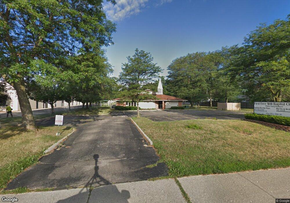
3575 Airport Rd Waterford, MI 48329
Waterford Township NeighborhoodEstimated Value: $535,545
--
Bed
--
Bath
5,879
Sq Ft
$91/Sq Ft
Est. Value
About This Home
This home is located at 3575 Airport Rd, Waterford, MI 48329 and is currently estimated at $535,545, approximately $91 per square foot. 3575 Airport Rd is a home located in Oakland County with nearby schools including Schoolcraft Elementary School, Waterford Kettering High School, and Mason Middle School.
Ownership History
Date
Name
Owned For
Owner Type
Purchase Details
Closed on
Jun 28, 2019
Sold by
First Free Will Baptist Church
Bought by
Leandres Antonio P and Leandres Claudia C
Current Estimated Value
Purchase Details
Closed on
Apr 13, 2016
Sold by
Kc Propco Holding I Llc
Bought by
First Free Will Baptist Church Of Waterf
Purchase Details
Closed on
Nov 9, 2005
Sold by
Kc Propco Llc
Bought by
Kc Propco Holding I Llc
Purchase Details
Closed on
Jul 1, 2003
Sold by
Kindercare Learning Centers Inc
Bought by
Kc Propco Llc
Create a Home Valuation Report for This Property
The Home Valuation Report is an in-depth analysis detailing your home's value as well as a comparison with similar homes in the area
Home Values in the Area
Average Home Value in this Area
Purchase History
| Date | Buyer | Sale Price | Title Company |
|---|---|---|---|
| Leandres Antonio P | $350,000 | Ata National Title Group Llc | |
| First Free Will Baptist Church Of Waterf | -- | First American Title | |
| Kc Propco Holding I Llc | -- | None Available | |
| Kc Propco Llc | -- | First American Title Ins Co |
Source: Public Records
Tax History Compared to Growth
Tax History
| Year | Tax Paid | Tax Assessment Tax Assessment Total Assessment is a certain percentage of the fair market value that is determined by local assessors to be the total taxable value of land and additions on the property. | Land | Improvement |
|---|---|---|---|---|
| 2024 | $9,935 | $254,910 | $0 | $0 |
| 2023 | $9,374 | $244,030 | $0 | $0 |
| 2022 | $12,307 | $229,070 | $0 | $0 |
| 2021 | $13,243 | $260,430 | $0 | $0 |
| 2020 | $9,734 | $246,320 | $0 | $0 |
| 2019 | $12,810 | $0 | $0 | $0 |
| 2018 | $0 | $0 | $0 | $0 |
| 2017 | $0 | $0 | $0 | $0 |
| 2015 | -- | $247,090 | $0 | $0 |
| 2014 | -- | $240,790 | $0 | $0 |
| 2011 | -- | $356,940 | $0 | $0 |
Source: Public Records
Map
Nearby Homes
- 6275 Williams Lake Rd
- 6015 Rowley Blvd
- 6031 Southward Ave
- 3867 Percy King Rd
- 6391 Rowley Blvd
- 6376 Lanman Dr
- 3077 Nanwich Dr
- 5502 Rowley Blvd
- 3912 Cambrook Ln
- 4083 Ledgestone Dr
- 3880 Lotus Dr
- 000 Waterloo St
- 4281 Marcus Rd
- 6625 Lanman Dr
- 4148 Conne Mara Ln
- 6533 Cloverton Dr
- 6522 Saline Dr
- 4341 Barnard Rd
- 6570 Saline Dr
- 3229 Homestead Dr
- 6049 Graper Dr
- 6021 Graper Dr
- 6063 Graper Dr
- 3549 Airport Rd
- 6007 Graper Dr
- 6077 Graper Dr
- 3570 David K Dr
- 3558 David K Dr
- 6089 Graper Dr
- 3546 David K Dr
- 6032 Graper Dr
- 6056 Graper Dr
- 6020 Graper Dr
- 3602 Airport Rd
- 3534 David K Dr
- 6008 Graper Dr
- 6068 Graper Dr
- 6044 Graper Dr
- 3620 Airport Rd
- 3522 David K Dr