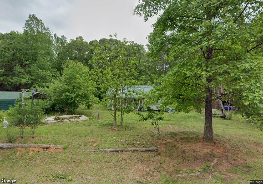
3578 Hutcheson Ferry Rd Whitesburg, GA 30185
Estimated Value: $228,000 - $297,000
4
Beds
2
Baths
2,225
Sq Ft
$115/Sq Ft
Est. Value
About This Home
This home is located at 3578 Hutcheson Ferry Rd, Whitesburg, GA 30185 and is currently estimated at $254,933, approximately $114 per square foot. 3578 Hutcheson Ferry Rd is a home located in Carroll County with nearby schools including Whitesburg Elementary School, Central Middle School, and Central High School.
Ownership History
Date
Name
Owned For
Owner Type
Purchase Details
Closed on
Apr 28, 2000
Sold by
Secretary Of Hud
Bought by
Bedley Darlene M
Current Estimated Value
Purchase Details
Closed on
Jul 6, 1999
Sold by
Homeside Lending Inc
Bought by
Secretary Of Hud
Purchase Details
Closed on
Aug 10, 1998
Sold by
Stanley Steven and D J
Bought by
Brown Steven and Brown Annie
Purchase Details
Closed on
Sep 22, 1983
Bought by
Stanley Steven and D J
Create a Home Valuation Report for This Property
The Home Valuation Report is an in-depth analysis detailing your home's value as well as a comparison with similar homes in the area
Home Values in the Area
Average Home Value in this Area
Purchase History
| Date | Buyer | Sale Price | Title Company |
|---|---|---|---|
| Bedley Darlene M | $66,000 | -- | |
| Secretary Of Hud | $68,000 | -- | |
| Homeside Lending Inc | $68,000 | -- | |
| Brown Steven | $65,000 | -- | |
| Stanley Steven | -- | -- |
Source: Public Records
Tax History Compared to Growth
Tax History
| Year | Tax Paid | Tax Assessment Tax Assessment Total Assessment is a certain percentage of the fair market value that is determined by local assessors to be the total taxable value of land and additions on the property. | Land | Improvement |
|---|---|---|---|---|
| 2025 | $2,025 | $90,514 | $10,670 | $79,844 |
| 2024 | $2,048 | $90,514 | $10,670 | $79,844 |
| 2023 | $2,048 | $81,238 | $8,537 | $72,701 |
| 2022 | $1,610 | $64,206 | $5,691 | $58,515 |
| 2021 | $1,407 | $54,873 | $4,553 | $50,320 |
| 2020 | $1,254 | $48,839 | $4,139 | $44,700 |
| 2019 | $1,162 | $44,913 | $4,139 | $40,774 |
| 2018 | $1,037 | $39,491 | $3,868 | $35,623 |
| 2017 | $1,040 | $39,491 | $3,868 | $35,623 |
| 2016 | $1,041 | $39,491 | $3,868 | $35,623 |
| 2015 | $748 | $26,756 | $3,872 | $22,884 |
| 2014 | $751 | $26,756 | $3,872 | $22,884 |
Source: Public Records
Map
Nearby Homes
- 10 Wigwam Cir
- 46 Helen Ct
- 2116 Jones Mill Rd
- 42 Church Ln
- 0 Hamilton Rd Unit LOT 1 10554357
- 0 Hamilton Rd Unit 10480307
- 0 Hamilton Rd Unit 10480360
- 8351 Dublin Dr
- 8910 Callaway Dr
- 8322 Loch Lomand Ln
- 8342 Loch Lomand Ln
- 8345 Loch Lomand Ln
- 8981 Callaway Dr
- 8870 Callaway Dr
- 8970 Callaway Dr
- 8325 Loch Lomand Ln
- Hazel Plan at St. Andrews
- Fairview Plan at St. Andrews
- Elder Plan at St. Andrews
- Cedar Plan at St. Andrews
- 3515 Hutcheson Ferry Rd
- 3623 Hutcheson Ferry Rd
- 3498 Hutcheson Ferry Rd
- 3641 Hutcheson Ferry Rd
- 3486 Hutcheson Ferry Rd
- 41 Harriett Ln
- 42 Harriett Ln
- 270 Teepee Trail
- 54 Harriett Ln
- 3480 Hutcheson Ferry Rd
- 3663 Hutcheson Ferry Rd
- 3663 Hutcheson Ferry Rd
- 252 Teepee Trail
- 310 Teepee Trail
- 3476 Hutcheson Ferry Rd
- 335 Teepee Trail
- 240 Teepee Trail
- 3440 Hutcheson Ferry Rd
- 3443 Hutcheson Ferry Rd
- 350 Teepee Trail