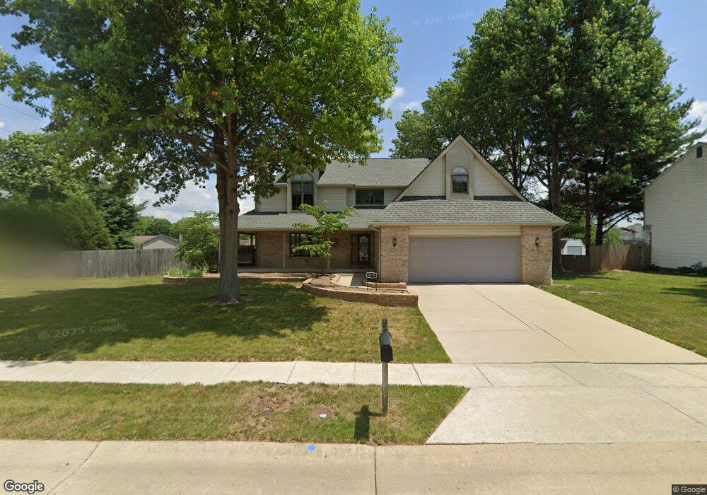
3579 E Brookside Dr Lafayette, IN 47909
Estimated Value: $353,000 - $412,000
3
Beds
2
Baths
2,712
Sq Ft
$140/Sq Ft
Est. Value
About This Home
This home is located at 3579 E Brookside Dr, Lafayette, IN 47909 and is currently estimated at $379,376, approximately $139 per square foot. 3579 E Brookside Dr is a home located in Tippecanoe County with nearby schools including Amelia Earhart Elementary School, Lafayette Tecumseh Junior High School, and Sunnyside Intermediate School.
Ownership History
Date
Name
Owned For
Owner Type
Purchase Details
Closed on
Apr 1, 2022
Sold by
Perkins Barney and Perkins Jill
Bought by
Saldana Angelina Herrera and Flores Rafael Alonso
Current Estimated Value
Home Financials for this Owner
Home Financials are based on the most recent Mortgage that was taken out on this home.
Original Mortgage
$313,500
Outstanding Balance
$293,434
Interest Rate
3.92%
Mortgage Type
New Conventional
Estimated Equity
$85,942
Create a Home Valuation Report for This Property
The Home Valuation Report is an in-depth analysis detailing your home's value as well as a comparison with similar homes in the area
Purchase History
| Date | Buyer | Sale Price | Title Company |
|---|---|---|---|
| Saldana Angelina Herrera | -- | None Listed On Document |
Source: Public Records
Mortgage History
| Date | Status | Borrower | Loan Amount |
|---|---|---|---|
| Open | Saldana Angelina Herrera | $313,500 |
Source: Public Records
Tax History
| Year | Tax Paid | Tax Assessment Tax Assessment Total Assessment is a certain percentage of the fair market value that is determined by local assessors to be the total taxable value of land and additions on the property. | Land | Improvement |
|---|---|---|---|---|
| 2024 | $3,392 | $339,200 | $58,300 | $280,900 |
| 2023 | $3,214 | $321,400 | $58,300 | $263,100 |
| 2022 | $2,328 | $232,800 | $30,000 | $202,800 |
| 2021 | $2,183 | $218,300 | $30,000 | $188,300 |
| 2020 | $2,038 | $203,800 | $30,000 | $173,800 |
| 2019 | $1,951 | $195,100 | $30,000 | $165,100 |
| 2018 | $1,908 | $190,800 | $30,000 | $160,800 |
| 2017 | $1,876 | $187,600 | $30,000 | $157,600 |
| 2016 | $1,848 | $184,800 | $30,000 | $154,800 |
| 2014 | $1,756 | $175,600 | $30,000 | $145,600 |
| 2013 | $1,697 | $169,700 | $30,000 | $139,700 |
Source: Public Records
Map
Nearby Homes
- 12 Brookhill Ct
- 601 Old Farm Rd
- 1007 Waterstone Dr
- 3501 Joallen Ln
- 3500 Waverly Dr
- 3435 Coventry Ln
- 3442 Teasdale Ct
- 3713 John Adams Rd
- 3416 Coventry Ln
- 3303 Crosspoint Ct S
- 3401 S 11th St
- 8151 John Adams Rd
- 8165 John Adams Rd
- 8171 John Adams Rd
- 8157 John Adams Rd
- TBD John Adams Rd
- 317 Winchester Ave
- 1301 Norma Jean Dr
- 4006 John Adams Rd
- 4101 Lofton Dr
- 3583 E Brookside Dr
- 3575 E Brookside Dr
- 22 Brookhill Ct
- 3587 E Brookside Dr
- 3578 E Brookside Dr
- 32 Brookhill Ct
- 3582 E Brookside Dr
- 3571 E Brookside Dr
- 81 Brookberry Dr
- 3574 E Brookside Dr
- 814 Brookside Dr S
- 3586 E Brookside Dr
- 810 Brookside Dr S
- 818 Brookside Dr S
- 61 Brookberry Dr
- 71 Brookberry Dr
- 3590 E Brookside Dr
- 3570 E Brookside Dr
- 805 Brookside Dr
- 813 Brookside Dr
Your Personal Tour Guide
Ask me questions while you tour the home.