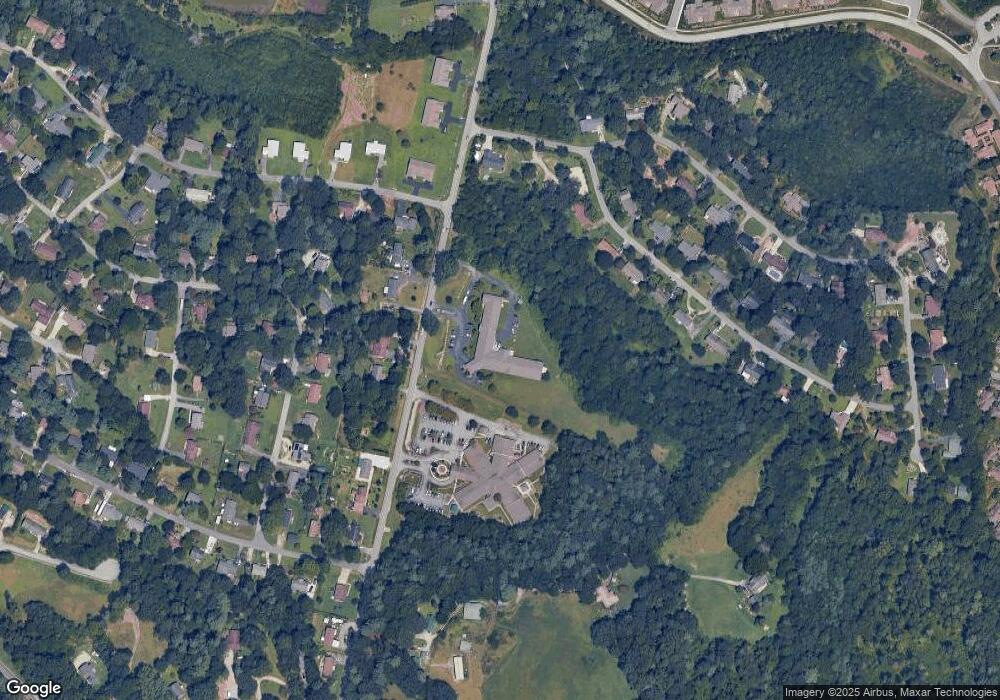
358 Clear Creek Rd Hendersonville, NC 28792
Estimated Value: $366,000 - $3,721,406
--
Bed
--
Bath
847
Sq Ft
$2,246/Sq Ft
Est. Value
About This Home
This home is located at 358 Clear Creek Rd, Hendersonville, NC 28792 and is currently estimated at $1,902,135, approximately $2,245 per square foot. 358 Clear Creek Rd is a home with nearby schools including Sugarloaf Elementary School, Hendersonville Middle School, and Hendersonville High School.
Ownership History
Date
Name
Owned For
Owner Type
Purchase Details
Closed on
Dec 21, 2012
Sold by
Hendersonville Hcre Llc
Bought by
Nc4 Cherryspr Llc
Current Estimated Value
Purchase Details
Closed on
Dec 28, 2009
Bought by
Hendersonville Hcre
Purchase Details
Closed on
Dec 21, 2009
Bought by
Hendersonville Hcre
Purchase Details
Closed on
Jul 27, 2006
Sold by
Not Provided
Bought by
Hendersonville Hcre Llc
Create a Home Valuation Report for This Property
The Home Valuation Report is an in-depth analysis detailing your home's value as well as a comparison with similar homes in the area
Home Values in the Area
Average Home Value in this Area
Purchase History
| Date | Buyer | Sale Price | Title Company |
|---|---|---|---|
| Nc4 Cherryspr Llc | -- | -- | |
| Hendersonville Hcre | $1,669,000 | -- | |
| Hendersonville Hcre | $1,669,000 | -- | |
| Hendersonville Hcre Llc | $445,500 | -- |
Source: Public Records
Tax History Compared to Growth
Tax History
| Year | Tax Paid | Tax Assessment Tax Assessment Total Assessment is a certain percentage of the fair market value that is determined by local assessors to be the total taxable value of land and additions on the property. | Land | Improvement |
|---|---|---|---|---|
| 2025 | $11,595 | $2,123,700 | $519,200 | $1,604,500 |
| 2024 | $11,595 | $2,123,700 | $519,200 | $1,604,500 |
| 2023 | $11,595 | $2,123,700 | $519,200 | $1,604,500 |
| 2022 | $12,889 | $1,892,700 | $306,700 | $1,586,000 |
| 2021 | $12,889 | $1,892,700 | $306,700 | $1,586,000 |
| 2020 | $12,889 | $1,892,700 | $0 | $0 |
| 2019 | $12,889 | $1,892,700 | $0 | $0 |
| 2018 | $11,146 | $1,627,100 | $0 | $0 |
| 2017 | $11,146 | $1,627,100 | $0 | $0 |
| 2016 | $11,146 | $1,627,100 | $0 | $0 |
| 2015 | -- | $1,627,100 | $0 | $0 |
| 2014 | -- | $1,591,100 | $0 | $0 |
Source: Public Records
Map
Nearby Homes
- 200 Cranbrook Cir
- 201 Cranbrook Cir
- 54 Lake Pointe Cir
- 402 Deerfield Ct
- 302 Meadowbrook Ct
- Carson Plan at The Townes at Stonecrest
- Lansing Plan at The Townes at Stonecrest
- Denver Plan at The Townes at Stonecrest
- 300 Creekview Rd
- 322 Creekview Rd
- 64 Lillian Ln
- 25 Caroline Valley Ln
- Robie Plan at Providence Walk
- Elston Plan at Providence Walk
- Maywood Plan at Providence Walk
- Darwin Plan at Providence Walk
- Rachel Plan at Providence Walk
- 73 Lauren Ln
- 19 Caroline Valley Ln
- 342 Creekview Rd
- 353 Clear Creek Rd
- 371 Clear Creek Rd
- 333 Clear Creek Rd
- 385 Clear Creek Rd
- 409 Clear Creek Rd
- 118 Greenfield Ln
- 101 Pinehurst Dr
- 126 Azalea Way
- 122 Azalea Way
- 279 Clear Creek Rd
- 279 Clear Creek Rd Unit 5
- 130 Azalea Way
- 122 Greenfield Ln
- 118 Azalea Way
- 105 Pinehurst Dr
- 126 Greenfield Ln
- 116 Azalea Way
- 261 Clear Creek Rd
- 134 Azalea Way
- 26 Atwood Dr
