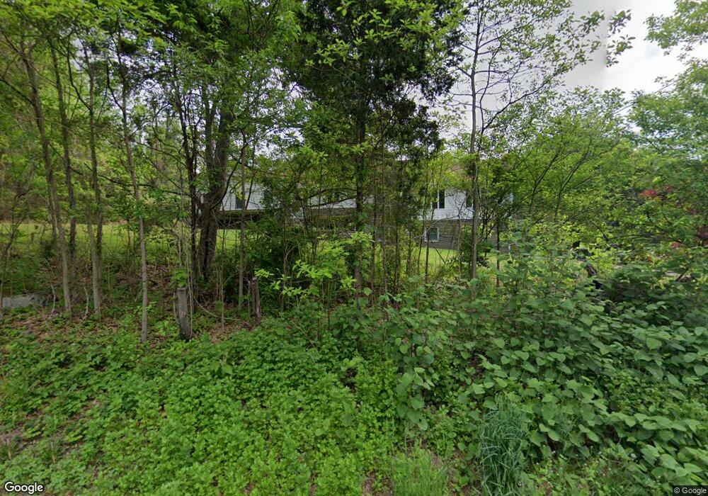
358 Daniels Farm Rd Trumbull, CT 06611
Daniel Farm District NeighborhoodEstimated Value: $657,000 - $826,000
5
Beds
4
Baths
2,580
Sq Ft
$282/Sq Ft
Est. Value
About This Home
This home is located at 358 Daniels Farm Rd, Trumbull, CT 06611 and is currently estimated at $726,963, approximately $281 per square foot. 358 Daniels Farm Rd is a home located in Fairfield County with nearby schools including Daniels Farm School, Hillcrest Middle School, and Trumbull High School.
Ownership History
Date
Name
Owned For
Owner Type
Purchase Details
Closed on
Nov 19, 2022
Sold by
Galgano Alfred and Galgano Elise
Bought by
Grose Barbara and Grose Amanda
Current Estimated Value
Purchase Details
Closed on
Sep 29, 1989
Sold by
Andruschkevich J
Bought by
Rodia Anthony
Home Financials for this Owner
Home Financials are based on the most recent Mortgage that was taken out on this home.
Original Mortgage
$152,500
Interest Rate
9.92%
Mortgage Type
Purchase Money Mortgage
Create a Home Valuation Report for This Property
The Home Valuation Report is an in-depth analysis detailing your home's value as well as a comparison with similar homes in the area
Home Values in the Area
Average Home Value in this Area
Purchase History
| Date | Buyer | Sale Price | Title Company |
|---|---|---|---|
| Grose Barbara | $480,000 | None Available | |
| Rodia Anthony | $252,500 | -- |
Source: Public Records
Mortgage History
| Date | Status | Borrower | Loan Amount |
|---|---|---|---|
| Previous Owner | Rodia Anthony | $150,000 | |
| Previous Owner | Rodia Anthony | $166,000 | |
| Previous Owner | Rodia Anthony | $100,000 | |
| Previous Owner | Rodia Anthony | $152,500 |
Source: Public Records
Tax History Compared to Growth
Tax History
| Year | Tax Paid | Tax Assessment Tax Assessment Total Assessment is a certain percentage of the fair market value that is determined by local assessors to be the total taxable value of land and additions on the property. | Land | Improvement |
|---|---|---|---|---|
| 2025 | $13,095 | $354,690 | $131,320 | $223,370 |
| 2024 | $12,737 | $354,690 | $131,320 | $223,370 |
| 2023 | $12,531 | $354,690 | $131,320 | $223,370 |
| 2022 | $12,331 | $354,690 | $131,320 | $223,370 |
| 2021 | $5,785 | $292,460 | $119,420 | $173,040 |
| 2020 | $5,785 | $292,460 | $119,420 | $173,040 |
| 2018 | $10,226 | $292,460 | $119,420 | $173,040 |
| 2017 | $10,020 | $292,460 | $119,420 | $173,040 |
| 2016 | $9,818 | $292,460 | $119,420 | $173,040 |
| 2015 | $10,151 | $298,900 | $125,200 | $173,700 |
| 2014 | $9,933 | $298,900 | $125,200 | $173,700 |
Source: Public Records
Map
Nearby Homes
- 33 Enclave Dr Unit 33
- 33 Rexview Cir
- Lot 31 Valley View Rd
- 11 Laurel St
- 58 Daniels Farm Rd
- 7 Manor Dr
- 121 Paugusett Cir
- 8 Moorland Rd
- 184 Putting Green Rd
- 122 Paugusett Cir
- 60 Lillian Dr
- 50 Hemlock Trail
- 75 Roosevelt Dr
- 17 Rainbow Dr
- 244 Strobel Rd
- 0 Pinewood Trail
- 57 Gray Rock Rd
- 253 Mayfield Dr Unit 253
- 283 Mayfield Dr
- 93 Putting Green Rd N
- 336 Daniels Farm Rd
- 400 Daniels Farm Rd
- 350 Daniels Farm Rd
- 353 Daniels Farm Rd
- 7 Inca Dr
- 330 Daniels Farm Rd
- 333 Daniels Farm Rd
- 6 Inca Dr
- 324 Daniels Farm Rd
- 325 Daniels Farm Rd
- 470 Daniels Farm Rd
- 35 Inca Dr
- 25 Inca Dr
- 14 Inca Dr
- 35 Hedgehog Rd
- 41 Inca Dr
- 305 Daniels Farm Rd
- 320 Daniels Farm Rd Unit A
- 320 Daniels Farm Rd
- 21 Hedgehog Rd