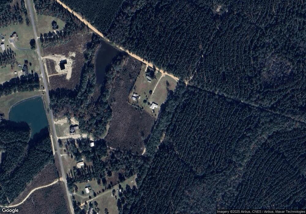
358 Dixie Landing Adrian, GA 31002
Estimated Value: $95,000 - $170,000
--
Bed
1
Bath
1,576
Sq Ft
$84/Sq Ft
Est. Value
About This Home
This home is located at 358 Dixie Landing, Adrian, GA 31002 and is currently estimated at $132,812, approximately $84 per square foot. 358 Dixie Landing is a home located in Treutlen County with nearby schools including Treutlen Elementary School and Treutlen Middle/High School.
Ownership History
Date
Name
Owned For
Owner Type
Purchase Details
Closed on
Mar 8, 2019
Sold by
Mclendon Mary Faye
Bought by
Mclendon Carol Marie
Current Estimated Value
Home Financials for this Owner
Home Financials are based on the most recent Mortgage that was taken out on this home.
Original Mortgage
$66,373
Interest Rate
4.4%
Mortgage Type
Commercial
Purchase Details
Closed on
Sep 3, 1986
Bought by
Mclendon Mary Faye
Purchase Details
Closed on
Apr 3, 1986
Purchase Details
Closed on
Feb 4, 1980
Bought by
Salter James L
Create a Home Valuation Report for This Property
The Home Valuation Report is an in-depth analysis detailing your home's value as well as a comparison with similar homes in the area
Home Values in the Area
Average Home Value in this Area
Purchase History
| Date | Buyer | Sale Price | Title Company |
|---|---|---|---|
| Mclendon Carol Marie | -- | -- | |
| Mclendon Mary Faye | $24,400 | -- | |
| -- | -- | -- | |
| Salter James L | -- | -- |
Source: Public Records
Mortgage History
| Date | Status | Borrower | Loan Amount |
|---|---|---|---|
| Closed | Mclendon Carol Marie | $66,373 |
Source: Public Records
Tax History Compared to Growth
Tax History
| Year | Tax Paid | Tax Assessment Tax Assessment Total Assessment is a certain percentage of the fair market value that is determined by local assessors to be the total taxable value of land and additions on the property. | Land | Improvement |
|---|---|---|---|---|
| 2024 | $1,131 | $42,440 | $3,080 | $39,360 |
| 2023 | $1,145 | $42,440 | $3,080 | $39,360 |
| 2022 | $1,058 | $39,240 | $3,080 | $36,160 |
| 2021 | $1,058 | $39,240 | $3,080 | $36,160 |
| 2020 | $1,057 | $39,240 | $3,080 | $36,160 |
| 2019 | $424 | $17,760 | $3,120 | $14,640 |
| 2018 | $434 | $17,760 | $3,120 | $14,640 |
| 2017 | $417 | $17,760 | $3,120 | $14,640 |
| 2016 | $409 | $17,760 | $3,120 | $14,640 |
| 2015 | -- | $17,760 | $3,120 | $14,640 |
| 2014 | -- | $17,760 | $3,120 | $14,640 |
| 2013 | -- | $17,760 | $3,120 | $14,640 |
Source: Public Records
Map
Nearby Homes
- 311 Church St
- 35 Barwick Kea Rd
- 210 W College St
- 2618 Georgia 86
- Gillis Spring Rd
- 0 Muskogee Trail Unit 25917
- 0 Muskogee Trail Unit LOT 78 20128125
- 0 Walden Way Unit 10601502
- 0 Old Wilson Rd
- 00 Poplar Springs Church Rd
- 499 Smith Chapel Rd
- Old Wilson Rd
- 0 Poplar Springs Church Rd Unit 10557967
- 0000 Hwy 171
- 0 John S Horton Rd Unit 10539405
- 0 Pendleton Creek Rd Unit SA340356
- 2373 U S 80
- 0 Beasley Hill Place Unit 10640367
- 87 Georgia Ave
- Pendleton Rreek Rd
- 9306 Crooked Run Rd
- 9262 Crooked Run Rd
- 9534 Crooked Run Rd
- 9469 Crooked Run Rd
- 9535 Crooked Run Rd
- 9385 Crooked Run Rd
- 289 Fox Run Rd
- 47 Fox Run Rd
- 238 Fox Run Rd
- 8862 Crooked Run Rd
- 8720 Crooked Run Rd
- 8725 Crooked Run Rd
- 54 Spring Valley Rd
- 8540 Crooked Run Rd
- 1863 Lake Cassie Rd
- 8363 Crooked Run Rd
