358 Riverbend Dr Lagrange, GA 30240
Estimated Value: $793,000 - $869,522
4
Beds
5
Baths
3,008
Sq Ft
$277/Sq Ft
Est. Value
About This Home
This home is located at 358 Riverbend Dr, Lagrange, GA 30240 and is currently estimated at $832,174, approximately $276 per square foot. 358 Riverbend Dr is a home located in Troup County with nearby schools including Hillcrest Elementary School, Franklin Forest Elementary School, and Hollis Hand Elementary School.
Ownership History
Date
Name
Owned For
Owner Type
Purchase Details
Closed on
May 15, 2024
Sold by
Day Tracy A
Bought by
Westrick David and Westrick Sierra
Current Estimated Value
Purchase Details
Closed on
Oct 1, 2020
Sold by
Hill Luke R
Bought by
Day William E and Day Tracy E
Purchase Details
Closed on
Jun 17, 2002
Sold by
Jim L Moore
Bought by
Hill Luke R and Hill Connie B
Purchase Details
Closed on
Jan 1, 1985
Bought by
Jim L Moore
Create a Home Valuation Report for This Property
The Home Valuation Report is an in-depth analysis detailing your home's value as well as a comparison with similar homes in the area
Purchase History
| Date | Buyer | Sale Price | Title Company |
|---|---|---|---|
| Westrick David | $800,000 | -- | |
| Day William E | $555,000 | -- | |
| Hill Luke R | $183,000 | -- | |
| Jim L Moore | $72,000 | -- |
Source: Public Records
Tax History
| Year | Tax Paid | Tax Assessment Tax Assessment Total Assessment is a certain percentage of the fair market value that is determined by local assessors to be the total taxable value of land and additions on the property. | Land | Improvement |
|---|---|---|---|---|
| 2025 | $8,708 | $319,280 | $140,000 | $179,280 |
| 2024 | $8,393 | $309,720 | $140,000 | $169,720 |
| 2023 | $6,023 | $222,840 | $80,000 | $142,840 |
| 2022 | $5,992 | $214,680 | $80,000 | $134,680 |
| 2021 | $6,309 | $209,200 | $60,000 | $149,200 |
| 2020 | $4,409 | $148,160 | $60,000 | $88,160 |
| 2019 | $4,624 | $155,320 | $60,000 | $95,320 |
| 2018 | $4,682 | $157,220 | $74,340 | $82,880 |
| 2017 | $4,682 | $157,220 | $74,340 | $82,880 |
| 2016 | $4,603 | $154,610 | $74,340 | $80,270 |
| 2015 | $4,611 | $154,610 | $74,340 | $80,270 |
| 2014 | $4,491 | $150,386 | $74,340 | $76,046 |
| 2013 | -- | $126,058 | $74,340 | $51,718 |
Source: Public Records
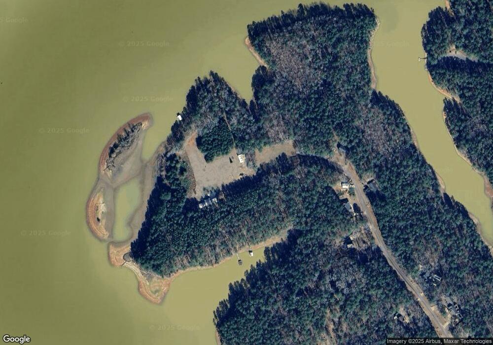
Map
Nearby Homes
- 0 River Club Dr Unit 10311961
- 155 Indian Bend Dr
- 111 Indian Bend Dr
- 65 Indian Bend Dr
- 116 Firefly Run
- 110 Firefly Run
- 96 Firefly Run
- 147 Wolf Creek Cove
- 56 Firefly Run
- 115 Wolf Creek Cove
- 105 Wolf Creek Cove
- 178 Wolf Creek Cove
- 40 Wolf Creek Cove
- 100 Wolf Creek Cove
- 144 Wolf Creek Cove
- 5 Firefly Run
- 14 Firefly Run
- 50 Fish Camp
- 33 Wolf Creek Cove
- 280 Wolf Creek Cove
- 338 Riverbend Dr
- 315 Riverbend Dr
- 308 Riverbend Dr
- 16 River Trace Rd
- 299 Riverbend Dr
- 18 River Shoal Point
- 11 River Shoal Point
- 0 River Club Dr Unit 8277614
- 0 River Club Dr Unit LT 65 3100425
- 0 River Club Dr Unit 3178502
- 0 River Club Dr Unit 3178921
- 0 River Oaks Dr Unit 108 7052407
- 0 River Oaks Dr Unit 101 7052403
- 0 River Club Dr Unit 7444566
- 0 River Club Dr Unit 7467555
- 0 River Oaks Dr Unit 108 7607769
- 0 River Club Dr Unit 10096417
- 0 River Club Dr Unit 10266571
- 0 River Club Dr Unit 7121919
- 0 River Oaks Dr Unit 101 7607767
Your Personal Tour Guide
Ask me questions while you tour the home.