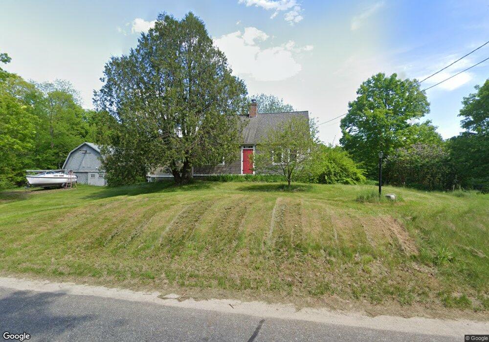
358 Stevenstown Rd Litchfield, ME 04350
Estimated Value: $470,000 - $674,000
4
Beds
2
Baths
3,000
Sq Ft
$181/Sq Ft
Est. Value
About This Home
This home is located at 358 Stevenstown Rd, Litchfield, ME 04350 and is currently estimated at $541,609, approximately $180 per square foot. 358 Stevenstown Rd is a home located in Kennebec County with nearby schools including Libby-Tozier School, Sabattus Primary School, and Carrie Ricker School.
Ownership History
Date
Name
Owned For
Owner Type
Purchase Details
Closed on
Sep 7, 2011
Sold by
Doran Dana A and Doran Kelly E
Bought by
Fletcher Christine A and Nagle 3Rd Richard W
Current Estimated Value
Home Financials for this Owner
Home Financials are based on the most recent Mortgage that was taken out on this home.
Original Mortgage
$255,000
Outstanding Balance
$177,269
Interest Rate
4.58%
Mortgage Type
Commercial
Estimated Equity
$364,340
Create a Home Valuation Report for This Property
The Home Valuation Report is an in-depth analysis detailing your home's value as well as a comparison with similar homes in the area
Home Values in the Area
Average Home Value in this Area
Purchase History
| Date | Buyer | Sale Price | Title Company |
|---|---|---|---|
| Fletcher Christine A | -- | -- |
Source: Public Records
Mortgage History
| Date | Status | Borrower | Loan Amount |
|---|---|---|---|
| Open | Fletcher Christine A | $255,000 |
Source: Public Records
Tax History Compared to Growth
Tax History
| Year | Tax Paid | Tax Assessment Tax Assessment Total Assessment is a certain percentage of the fair market value that is determined by local assessors to be the total taxable value of land and additions on the property. | Land | Improvement |
|---|---|---|---|---|
| 2024 | $4,465 | $313,300 | $79,700 | $233,600 |
| 2023 | $4,257 | $315,300 | $81,700 | $233,600 |
| 2022 | $4,127 | $262,500 | $67,900 | $194,600 |
| 2021 | $3,709 | $262,500 | $67,900 | $194,600 |
| 2020 | $3,747 | $263,900 | $69,300 | $194,600 |
| 2019 | $3,695 | $263,900 | $69,300 | $194,600 |
| 2018 | $4,077 | $252,416 | $62,024 | $190,392 |
| 2017 | $4,085 | $252,938 | $62,258 | $190,680 |
| 2016 | $4,081 | $252,701 | $61,624 | $191,077 |
| 2015 | $3,897 | $250,607 | $59,008 | $191,599 |
| 2014 | $3,575 | $250,866 | $58,870 | $191,996 |
| 2013 | $3,088 | $251,017 | $58,733 | $192,284 |
Source: Public Records
Map
Nearby Homes
- 525 Plains Rd
- 89 Mallard Dr
- 90 Mallard Dr
- 58 Military Ln
- 476 Pine Tree Rd
- 3 Balsam Ln
- 857 Brunswick Rd
- Lot 12 Hallowell Rd
- 0 Hallowell Rd Unit 1627507
- 1145 Brunswick Rd
- 998 Lewiston Rd
- 33 Lawson Ridge Ln
- 22 Spencer Ln
- Lot 8D Hallowell Rd
- 18 Huntington Hill Rd
- 0 Rd Unit 1590643
- 1178 Brunswick Ave
- 0 Route 9-126 Litchfield Dr Unit 1604469
- 47 Fickett Dr
- Lot 4 Cobbo Ln
- 00 Stevenstown Rd
- 8286 Stevenstown Rd
- 2 Stevenstown Rd
- 361 Stevenstown Rd
- 340 Stevenstown Rd
- 376 Stevenstown Rd
- 328 Stevenstown Rd
- 329 Stevenstown Rd
- 316 Stevenstown Rd
- 396 Stevenstown Rd
- 297 Stevenstown Rd
- 309 Stevenstown Rd
- 409 Stevenstown Rd
- 403 Stevenstown Rd
- 296 Stevenstown Rd
- 419 Stevenstown Rd
- 31 Isabella Ln
- 429 Stevenstown Rd
- 277 Stevenstown Rd
- 442 Stevenstown Rd