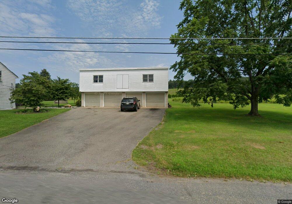
358 Walnut St Lehighton, PA 18235
Estimated Value: $274,000 - $487,000
4
Beds
1
Bath
2,949
Sq Ft
$121/Sq Ft
Est. Value
About This Home
This home is located at 358 Walnut St, Lehighton, PA 18235 and is currently estimated at $357,077, approximately $121 per square foot. 358 Walnut St is a home located in Carbon County with nearby schools including Lehighton Area High School, Sts. Peter & Paul School, and Valley Ridge Academy.
Ownership History
Date
Name
Owned For
Owner Type
Purchase Details
Closed on
Aug 3, 2021
Sold by
Walsh Elda and Hartranft Lela
Bought by
Walker David L and Walker Paatricai
Current Estimated Value
Home Financials for this Owner
Home Financials are based on the most recent Mortgage that was taken out on this home.
Original Mortgage
$83,351
Outstanding Balance
$75,905
Interest Rate
3%
Mortgage Type
FHA
Estimated Equity
$281,172
Purchase Details
Closed on
Nov 25, 2013
Sold by
Walker Marion L
Bought by
Walker Elda P
Create a Home Valuation Report for This Property
The Home Valuation Report is an in-depth analysis detailing your home's value as well as a comparison with similar homes in the area
Home Values in the Area
Average Home Value in this Area
Purchase History
| Date | Buyer | Sale Price | Title Company |
|---|---|---|---|
| Walker David L | $85,000 | Paramount Abstract Inc | |
| Walker Elda P | -- | None Available |
Source: Public Records
Mortgage History
| Date | Status | Borrower | Loan Amount |
|---|---|---|---|
| Open | Walker David L | $83,351 |
Source: Public Records
Tax History Compared to Growth
Tax History
| Year | Tax Paid | Tax Assessment Tax Assessment Total Assessment is a certain percentage of the fair market value that is determined by local assessors to be the total taxable value of land and additions on the property. | Land | Improvement |
|---|---|---|---|---|
| 2025 | $4,225 | $55,150 | $13,750 | $41,400 |
| 2024 | $4,004 | $55,150 | $13,750 | $41,400 |
| 2023 | $3,963 | $55,150 | $13,750 | $41,400 |
| 2022 | $3,963 | $55,150 | $13,750 | $41,400 |
| 2021 | $3,748 | $55,150 | $13,750 | $41,400 |
| 2020 | $3,748 | $55,150 | $13,750 | $41,400 |
| 2019 | $3,583 | $55,150 | $13,750 | $41,400 |
| 2018 | $3,583 | $55,150 | $13,750 | $41,400 |
| 2017 | $3,583 | $55,150 | $13,750 | $41,400 |
| 2016 | -- | $55,150 | $13,750 | $41,400 |
| 2015 | -- | $55,150 | $13,750 | $41,400 |
| 2014 | -- | $55,150 | $13,750 | $41,400 |
Source: Public Records
Map
Nearby Homes
- 0 Indian Hill Rd Unit PM-136273
- 0 Indian Hill Rd Unit 760249
- 161 Reber St
- 2205 Long Run Rd
- 0 Fairyland Rd Unit PM-136987
- 361 Court St Unit REAR
- 361 Court St
- 600 N Harrity Rd
- 201 Fairview St
- 230 Carbon St
- 231 Coal St
- 344 Ochre St
- 142 Bankway St
- 215 N 4th St
- 0 Lark St
- 117 N 4th St
- 932 Lark St
- 230 S 2nd St
- 236 S 2nd St
- 196 S 3rd St