3582 Highway 182 Lincolnton, NC 28092
Estimated Value: $53,000 - $176,919
2
Beds
1
Bath
1,040
Sq Ft
$132/Sq Ft
Est. Value
About This Home
This home is located at 3582 Highway 182, Lincolnton, NC 28092 and is currently estimated at $137,730, approximately $132 per square foot. 3582 Highway 182 is a home located in Lincoln County with nearby schools including Norris S. Childers Elementary School, West Lincoln Middle, and West Lincoln High School.
Ownership History
Date
Name
Owned For
Owner Type
Purchase Details
Closed on
Sep 2, 2022
Sold by
Turpin Sue B
Bought by
Lutz Kevin Eric
Current Estimated Value
Purchase Details
Closed on
Oct 5, 2012
Sold by
Black James Wesley
Bought by
Turpin Sue B
Purchase Details
Closed on
Oct 4, 2012
Sold by
Black Marie L
Bought by
Black James Wesley
Purchase Details
Closed on
Oct 3, 2012
Sold by
Turpin Sue B
Bought by
Black Margie L
Purchase Details
Closed on
Mar 3, 2011
Sold by
Black Margie L
Bought by
Turpin Sue B
Create a Home Valuation Report for This Property
The Home Valuation Report is an in-depth analysis detailing your home's value as well as a comparison with similar homes in the area
Home Values in the Area
Average Home Value in this Area
Purchase History
| Date | Buyer | Sale Price | Title Company |
|---|---|---|---|
| Lutz Kevin Eric | $45,000 | -- | |
| Lutz Kevin Eric | $45,000 | None Listed On Document | |
| Turpin Sue B | -- | None Available | |
| Black James Wesley | -- | None Available | |
| Black Margie L | -- | None Available | |
| Turpin Sue B | -- | None Available |
Source: Public Records
Tax History Compared to Growth
Tax History
| Year | Tax Paid | Tax Assessment Tax Assessment Total Assessment is a certain percentage of the fair market value that is determined by local assessors to be the total taxable value of land and additions on the property. | Land | Improvement |
|---|---|---|---|---|
| 2025 | $637 | $56,327 | $31,251 | $25,076 |
| 2024 | $597 | $56,327 | $31,251 | $25,076 |
| 2023 | $587 | $56,327 | $31,251 | $25,076 |
| 2022 | $517 | $38,104 | $24,251 | $13,853 |
| 2021 | $517 | $38,104 | $24,251 | $13,853 |
| 2020 | $280 | $38,104 | $24,251 | $13,853 |
| 2019 | $280 | $38,104 | $24,251 | $13,853 |
| 2018 | $355 | $34,474 | $22,626 | $11,848 |
| 2017 | $253 | $34,474 | $22,626 | $11,848 |
| 2016 | $253 | $34,474 | $22,626 | $11,848 |
| 2015 | $420 | $34,474 | $22,626 | $11,848 |
| 2014 | $391 | $32,033 | $23,751 | $8,282 |
Source: Public Records
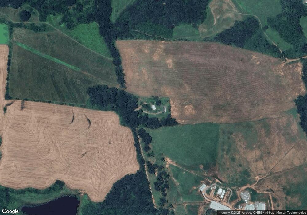
Map
Nearby Homes
- 940 Guy Heavner Rd
- 1495 Leonards Fork Church Rd
- 2124 Shoal Rd
- 1000 Creekside Dr
- 1084 Lyndsey Brook Ct
- 5740 Crouse Rd
- 1357 Malden Ct
- 1074 Lyndsey Brook Ct
- 00 Flay Rd
- 938 Lyndsey Brook Ct
- 2488 Shoal Rd
- 3103 Richview Dr
- 4850 Gideon Dr
- 142 Alf Hoover Rd
- 000 Leonards Fork Church Rd
- 4832 Gideon Dr
- 5118 Flay Rd
- 2383 N Carolina 182
- 3987 W Highway 27
- 508 Shoal Rd
- 3600 Highway 182
- 3600 N Carolina 182
- 3514 Highway 182
- 3636 Highway 182
- 3575 Highway 182
- 3635 Highway 182
- 1160 Sain Rd
- 978 Sain Rd
- 1044 Sain Rd
- 3394 Highway 182
- 1068 Sain Rd
- 1080 Sain Rd
- 1130 Sain Rd
- 3405 Highway 182
- 637 Guy Heavner Rd
- 1053 Sain Rd
- 775 Guy Heavner Rd
- 3742 Highway 182
- 1031 Sain Rd
- 3748 Highway 182