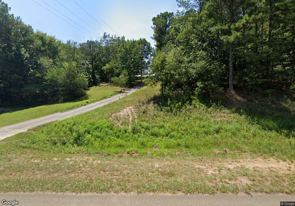
3582 Highway 411 Ranger, GA 30734
Estimated Value: $187,000 - $376,000
4
Beds
3
Baths
1,560
Sq Ft
$181/Sq Ft
Est. Value
About This Home
This home is located at 3582 Highway 411, Ranger, GA 30734 and is currently estimated at $282,660, approximately $181 per square foot. 3582 Highway 411 is a home located in Gordon County with nearby schools including Fairmount Elementary School, Red Bud Middle School, and Sonoraville High School.
Ownership History
Date
Name
Owned For
Owner Type
Purchase Details
Closed on
Jul 22, 2014
Sold by
Wells Fargo Bank
Bought by
Peterman Candy R
Current Estimated Value
Home Financials for this Owner
Home Financials are based on the most recent Mortgage that was taken out on this home.
Original Mortgage
$60,877
Outstanding Balance
$47,374
Interest Rate
4.75%
Mortgage Type
FHA
Estimated Equity
$235,286
Purchase Details
Closed on
Jun 4, 2013
Sold by
Lyles Willie L Etal
Bought by
Wells Fargo Bank Na
Purchase Details
Closed on
May 9, 1990
Bought by
Lyles Willie L Etal
Create a Home Valuation Report for This Property
The Home Valuation Report is an in-depth analysis detailing your home's value as well as a comparison with similar homes in the area
Home Values in the Area
Average Home Value in this Area
Purchase History
| Date | Buyer | Sale Price | Title Company |
|---|---|---|---|
| Peterman Candy R | $62,000 | -- | |
| Wells Fargo Bank Na | $24,400 | -- | |
| Lyles Willie L Etal | -- | -- |
Source: Public Records
Mortgage History
| Date | Status | Borrower | Loan Amount |
|---|---|---|---|
| Open | Peterman Candy R | $60,877 |
Source: Public Records
Tax History Compared to Growth
Tax History
| Year | Tax Paid | Tax Assessment Tax Assessment Total Assessment is a certain percentage of the fair market value that is determined by local assessors to be the total taxable value of land and additions on the property. | Land | Improvement |
|---|---|---|---|---|
| 2024 | $1,235 | $63,400 | $19,440 | $43,960 |
| 2023 | $1,163 | $60,600 | $19,440 | $41,160 |
| 2022 | $1,171 | $58,200 | $19,440 | $38,760 |
| 2021 | $1,021 | $51,320 | $19,440 | $31,880 |
| 2020 | $1,037 | $51,120 | $19,440 | $31,680 |
| 2019 | $994 | $49,480 | $19,440 | $30,040 |
| 2018 | $1,328 | $48,120 | $19,480 | $28,640 |
| 2017 | $1,319 | $46,520 | $19,480 | $27,040 |
| 2016 | $1,322 | $46,520 | $19,480 | $27,040 |
| 2015 | $684 | $45,920 | $19,480 | $26,440 |
| 2014 | $1,387 | $47,617 | $19,505 | $28,112 |
Source: Public Records
Map
Nearby Homes
- 0 Nicklesville Rd NE Unit 9637 8073887
- 0 Nicklesville Rd NE Unit 25510308
- S Hwy 411
- 0 Georgia 136
- 278 Carters Overlook Dr
- 189 Hopewell Dr
- 1243R Onyx Ct
- 00 White Graves Rd
- 80 Phoenix Dr
- 234 Oakman Rd NE
- 894 Newman Ct
- 893 Newman Ct
- 1588 Paladin Dr NE
- 9600 Old Highway 411
- 9600 Old Hwy 411s
- 402 Peaceful Loop
- 2523 U S 411
- 355 Peaceful Loop
- 3582 Us Highway 411 NE
- 3582 U S 411
- 8266 Nicklesville Rd NE
- 3599 Us Highway 411 NE
- 3599 Us Highway 411 NE
- 3523 Us Highway 411 NE
- 3496 Us Highway 411 NE
- 3496 Us Highway 411 NE
- 3513 Us Highway 411 NE
- 4400 Us Highway 411 NE
- 8272 Nicklesville Rd NE
- 0 Nicklesville Rd NE Unit 8353883
- 0 Nicklesville Rd NE Unit 7308550
- 0 Nicklesville Rd NE Unit 9635 8068836
- 0 Nicklesville Rd NE
- 0 Nicklesville Rd NE Unit 20752527
- 0 Nicklesville Rd NE Unit 9635 8073846
- 0 Nicklesville Rd NE Unit 8153418
- 3434 Us Highway 411 NE
- 162 Hopewell Church Rd
