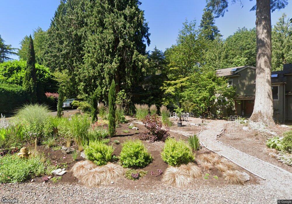
3583 Arbor Dr West Linn, OR 97068
Robinwood NeighborhoodEstimated Value: $845,000 - $868,727
4
Beds
4
Baths
2,839
Sq Ft
$302/Sq Ft
Est. Value
About This Home
This home is located at 3583 Arbor Dr, West Linn, OR 97068 and is currently estimated at $856,682, approximately $301 per square foot. 3583 Arbor Dr is a home located in Clackamas County with nearby schools including Cedaroak Park Primary School, West Linn High School, and Harmony Academy.
Ownership History
Date
Name
Owned For
Owner Type
Purchase Details
Closed on
Feb 8, 2018
Sold by
Stehr Steve P and Stehr Nina Sybil
Bought by
Stehr Steven P and Stehr Nina S
Current Estimated Value
Purchase Details
Closed on
Mar 14, 2014
Sold by
Gurney David and Szij Dorine
Bought by
Stehr Steve P and Stehr Nina Sybil
Purchase Details
Closed on
Mar 26, 2010
Sold by
Szij Dorine
Bought by
Szij Dorine and Gurney David
Home Financials for this Owner
Home Financials are based on the most recent Mortgage that was taken out on this home.
Original Mortgage
$117,500
Interest Rate
4.88%
Mortgage Type
New Conventional
Purchase Details
Closed on
Jun 9, 1999
Sold by
Snyder Joan E and Clark Christine E
Bought by
Szij Dorine
Home Financials for this Owner
Home Financials are based on the most recent Mortgage that was taken out on this home.
Original Mortgage
$199,200
Interest Rate
6.9%
Create a Home Valuation Report for This Property
The Home Valuation Report is an in-depth analysis detailing your home's value as well as a comparison with similar homes in the area
Home Values in the Area
Average Home Value in this Area
Purchase History
| Date | Buyer | Sale Price | Title Company |
|---|---|---|---|
| Stehr Steven P | -- | None Available | |
| Stehr Steve P | $412,900 | Fidelity Natl Title Co Of Or | |
| Szij Dorine | -- | First American | |
| Szij Dorine | $249,000 | Chicago Title |
Source: Public Records
Mortgage History
| Date | Status | Borrower | Loan Amount |
|---|---|---|---|
| Previous Owner | Szij Dorine | $117,500 | |
| Previous Owner | Szij Dorine | $199,200 |
Source: Public Records
Tax History Compared to Growth
Tax History
| Year | Tax Paid | Tax Assessment Tax Assessment Total Assessment is a certain percentage of the fair market value that is determined by local assessors to be the total taxable value of land and additions on the property. | Land | Improvement |
|---|---|---|---|---|
| 2025 | $8,367 | $434,156 | -- | -- |
| 2024 | $8,054 | $421,511 | -- | -- |
| 2023 | $8,054 | $409,234 | $0 | $0 |
| 2022 | $7,602 | $397,315 | $0 | $0 |
| 2021 | $7,216 | $385,743 | $0 | $0 |
| 2020 | $7,265 | $374,508 | $0 | $0 |
| 2019 | $6,928 | $363,600 | $0 | $0 |
| 2018 | $6,619 | $353,010 | $0 | $0 |
| 2017 | $6,313 | $342,728 | $0 | $0 |
| 2016 | $6,015 | $332,746 | $0 | $0 |
| 2015 | $5,664 | $323,054 | $0 | $0 |
| 2014 | $5,347 | $313,645 | $0 | $0 |
Source: Public Records
Map
Nearby Homes
- 3340 Arbor Dr
- 18649 Old River Dr
- 2636 Maria Ct
- 18194 Shady Hollow Way
- 3446 Fernvilla Dr
- 18418 Old River Landing
- 3777 Parkwood Way
- 4400 Calaroga Dr
- 17833 Marylcreek Dr
- 18711 Willamette Dr
- 2455 College Hill Place
- 3910 Calaroga Cir
- 2041 Marylhurst Dr
- 17634 Brookhurst Dr
- 17623 Brookhurst Dr
- 1354 Skye Pkwy
- 2167 Marylwood Ct
- 17514 Brookhurst Dr
- 1384 Celtic Ct
- 3893 Cedaroak Dr