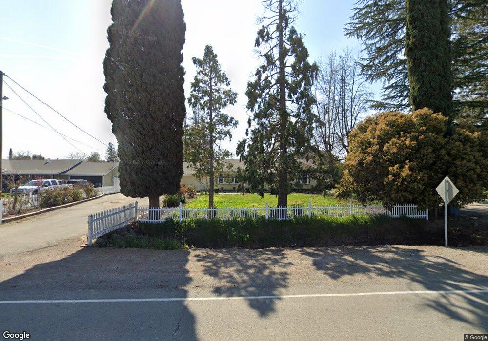
3584 Sanders Rd Live Oak, CA 95953
Estimated Value: $340,000 - $464,000
3
Beds
2
Baths
1,229
Sq Ft
$320/Sq Ft
Est. Value
About This Home
This home is located at 3584 Sanders Rd, Live Oak, CA 95953 and is currently estimated at $393,687, approximately $320 per square foot. 3584 Sanders Rd is a home located in Sutter County with nearby schools including Sutter Peak Charter Academy and Christian Outreach Fellowship.
Ownership History
Date
Name
Owned For
Owner Type
Purchase Details
Closed on
Oct 6, 2003
Sold by
Sproul Michael A and Sproul Maria
Bought by
Michael A Sproul And Maria A Heredia Revocabl and Sproul
Current Estimated Value
Purchase Details
Closed on
Jan 3, 2001
Sold by
Cull Dean C and Cull Jennifer E
Bought by
Sproul Michael A and Heredia Sproul Maria
Home Financials for this Owner
Home Financials are based on the most recent Mortgage that was taken out on this home.
Original Mortgage
$158,600
Interest Rate
7.65%
Create a Home Valuation Report for This Property
The Home Valuation Report is an in-depth analysis detailing your home's value as well as a comparison with similar homes in the area
Home Values in the Area
Average Home Value in this Area
Purchase History
| Date | Buyer | Sale Price | Title Company |
|---|---|---|---|
| Michael A Sproul And Maria A Heredia Revocabl | -- | None Listed On Document | |
| Sproul Michael A | $167,000 | North State Title Company |
Source: Public Records
Mortgage History
| Date | Status | Borrower | Loan Amount |
|---|---|---|---|
| Previous Owner | Sproul Michael A | $158,600 |
Source: Public Records
Tax History Compared to Growth
Tax History
| Year | Tax Paid | Tax Assessment Tax Assessment Total Assessment is a certain percentage of the fair market value that is determined by local assessors to be the total taxable value of land and additions on the property. | Land | Improvement |
|---|---|---|---|---|
| 2025 | $969 | $251,543 | $113,000 | $138,543 |
| 2024 | $969 | $246,612 | $110,785 | $135,827 |
| 2023 | $969 | $241,777 | $108,613 | $133,164 |
| 2022 | $1,071 | $237,037 | $106,484 | $130,553 |
| 2021 | $2,549 | $232,412 | $104,408 | $128,004 |
| 2020 | $2,510 | $230,028 | $103,337 | $126,691 |
| 2019 | $2,455 | $225,518 | $101,311 | $124,207 |
| 2018 | $2,414 | $221,095 | $99,324 | $121,771 |
| 2017 | $2,343 | $216,759 | $97,376 | $119,383 |
| 2016 | $2,318 | $212,509 | $95,467 | $117,042 |
| 2015 | $2,283 | $209,317 | $94,033 | $115,284 |
| 2014 | $2,252 | $205,217 | $92,191 | $113,026 |
Source: Public Records
Map
Nearby Homes
- 2200 Encinal Rd
- 1683 Eager Rd
- 2871 Pease Rd
- 1791 Rio Vista Way
- 1661 Rio Vista Way
- 1881 Kendall Ct
- 1591 Rich Dr
- 2861 VI Ct
- 2440 Northfield Ct
- 2250 Mia Loop
- 1542 Mehar Ct
- 1746 Jamie Dr
- 1545 Ravi Ct
- 1918 Heidi Way
- 1373 Butte Bend Ln
- 1353 Butte Bend Ln
- 1983 Hooper Rd
- 1123 Tres Picos Dr
- 1155 Pease Rd Unit 511
- 1155 Pease Rd Unit 109