3585 163rd St E Faribault, MN 55021
Estimated Value: $303,000 - $849,000
3
Beds
1
Bath
1,112
Sq Ft
$424/Sq Ft
Est. Value
About This Home
This home is located at 3585 163rd St E, Faribault, MN 55021 and is currently estimated at $471,266, approximately $423 per square foot. 3585 163rd St E is a home located in Rice County with nearby schools including Roosevelt Elementary School, Faribault Middle School, and Faribault Senior High School.
Ownership History
Date
Name
Owned For
Owner Type
Purchase Details
Closed on
Feb 15, 2012
Sold by
Piper Curtis L and Piper Donald C
Bought by
Piper Travis J and Piper Amy L
Current Estimated Value
Home Financials for this Owner
Home Financials are based on the most recent Mortgage that was taken out on this home.
Original Mortgage
$100,000
Outstanding Balance
$67,509
Interest Rate
3.89%
Mortgage Type
New Conventional
Estimated Equity
$403,757
Purchase Details
Closed on
Aug 23, 2005
Sold by
Piper Donald C and Piper Diane J
Bought by
Piper Travis J
Create a Home Valuation Report for This Property
The Home Valuation Report is an in-depth analysis detailing your home's value as well as a comparison with similar homes in the area
Purchase History
| Date | Buyer | Sale Price | Title Company |
|---|---|---|---|
| Piper Travis J | $125,000 | -- | |
| Piper Travis J | $125,000 | -- |
Source: Public Records
Mortgage History
| Date | Status | Borrower | Loan Amount |
|---|---|---|---|
| Open | Piper Travis J | $100,000 | |
| Closed | Piper Travis J | -- |
Source: Public Records
Tax History
| Year | Tax Paid | Tax Assessment Tax Assessment Total Assessment is a certain percentage of the fair market value that is determined by local assessors to be the total taxable value of land and additions on the property. | Land | Improvement |
|---|---|---|---|---|
| 2025 | $2,446 | $338,200 | $174,100 | $164,100 |
| 2024 | $2,446 | $309,700 | $156,100 | $153,600 |
| 2023 | $2,174 | $309,700 | $156,100 | $153,600 |
| 2022 | $1,904 | $271,300 | $131,100 | $140,200 |
| 2021 | $1,828 | $237,000 | $132,700 | $104,300 |
| 2020 | $1,682 | $228,100 | $130,200 | $97,900 |
| 2019 | $1,638 | $216,900 | $130,200 | $86,700 |
| 2018 | $1,602 | $210,500 | $130,200 | $80,300 |
| 2017 | $1,714 | $202,800 | $130,200 | $72,600 |
| 2016 | $1,718 | $201,900 | $130,200 | $71,700 |
| 2015 | $1,634 | $196,800 | $130,200 | $66,600 |
| 2014 | -- | $194,900 | $130,200 | $64,700 |
Source: Public Records
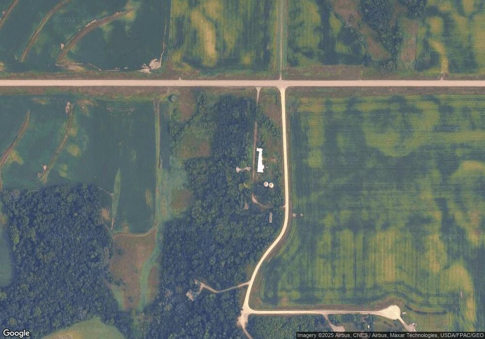
Map
Nearby Homes
- 15315 Elm Ct
- 5827 154th St E
- 2140 Violet Ln
- 2110 Goldenray Dr
- Cottonwood II Plan at The Meadows
- Linden Plan at The Meadows
- Marquette Plan at The Meadows
- Sycamore Plan at The Meadows
- Everleigh Plan at The Meadows
- Tennessee Plan at The Meadows
- Eastbrook Plan at The Meadows
- Cannonball Plan at The Meadows
- St. James Plan at The Meadows
- Oakwood Plan at The Meadows
- Rhode Island Plan at The Meadows
- Parkdale Plan at The Meadows
- Hammond Plan at The Meadows
- Spruce Plan at The Meadows
- Canton II Plan at The Meadows
- Vermont Plan at The Meadows
- 0 Crestview Ct
- 16 Crestview Ct
- 3615 Crestview Ct
- 3695 Crestview Ct
- 3700 Crestview Ct
- 1 163rd-Street-n
- 3675 Crestview Ct
- 3771 159th Ct E
- 16376 Darvey Ave
- 3780 159th Ct E
- 16275 Cabot Ave
- 16144 Darvey Ave
- 4076 159th Ct E
- 3456 Coe Trail
- 16563 Cabot Ave
- XXXX Cabot Ave
- 16597 Cabot Ave
- 15996 Darvey Ave
- 15983 Cabot Ave
- 16512 Cabot Ave
Your Personal Tour Guide
Ask me questions while you tour the home.