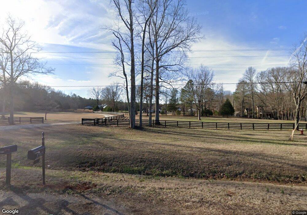
3585 Atlanta Hwy Madison, GA 30650
Estimated Value: $452,000 - $614,000
3
Beds
2
Baths
1,456
Sq Ft
$365/Sq Ft
Est. Value
About This Home
This home is located at 3585 Atlanta Hwy, Madison, GA 30650 and is currently estimated at $530,955, approximately $364 per square foot. 3585 Atlanta Hwy is a home located in Morgan County with nearby schools including Morgan County Primary School, Morgan County Elementary School, and Morgan County Middle School.
Ownership History
Date
Name
Owned For
Owner Type
Purchase Details
Closed on
Mar 29, 2006
Sold by
Mealor Wayne
Bought by
Long Joshua Isaac and Long Barbara Fay
Current Estimated Value
Home Financials for this Owner
Home Financials are based on the most recent Mortgage that was taken out on this home.
Original Mortgage
$180,000
Interest Rate
6.2%
Mortgage Type
New Conventional
Create a Home Valuation Report for This Property
The Home Valuation Report is an in-depth analysis detailing your home's value as well as a comparison with similar homes in the area
Home Values in the Area
Average Home Value in this Area
Purchase History
| Date | Buyer | Sale Price | Title Company |
|---|---|---|---|
| Long Joshua Isaac | -- | -- |
Source: Public Records
Mortgage History
| Date | Status | Borrower | Loan Amount |
|---|---|---|---|
| Closed | Long Joshua Isaac | $180,000 |
Source: Public Records
Tax History Compared to Growth
Tax History
| Year | Tax Paid | Tax Assessment Tax Assessment Total Assessment is a certain percentage of the fair market value that is determined by local assessors to be the total taxable value of land and additions on the property. | Land | Improvement |
|---|---|---|---|---|
| 2024 | $3,974 | $176,403 | $40,298 | $136,105 |
| 2023 | $3,539 | $152,591 | $31,723 | $120,868 |
| 2022 | $2,322 | $96,905 | $20,055 | $76,850 |
| 2021 | $2,331 | $96,905 | $20,055 | $76,850 |
| 2020 | $2,353 | $96,905 | $20,055 | $76,850 |
| 2019 | $2,240 | $90,916 | $14,127 | $76,789 |
| 2018 | $2,251 | $90,017 | $13,228 | $76,789 |
| 2017 | $2,352 | $90,787 | $13,228 | $77,559 |
| 2016 | $2,115 | $81,944 | $12,842 | $69,101 |
| 2015 | $2,394 | $91,360 | $18,080 | $73,280 |
| 2014 | $1,917 | $75,556 | $14,040 | $61,516 |
| 2013 | -- | $58,680 | $19,080 | $39,600 |
Source: Public Records
Map
Nearby Homes
- 1031 Graham Dr
- 1310 Deerwood Dr
- 0 Double Bridges Rd Unit 7579574
- 0 Double Bridges Rd Unit 1023783
- 0 Double Bridges Rd Unit 67935
- 0 Double Bridges Rd Unit 10460793
- 1200 Mcnair Ln
- 1191 Wildflower Way
- 0 W Dixie Hwy Unit 10499573
- 1671 Double Bridges Rd
- 00 Fears Rd
- 0 Fears Rd Unit 10569285
- 0 Reese Rd Unit 10622381
- 1071 Wildflower Way
- 1151 Fears Rd
- 3641 Davis Academy Rd
- 2470 Fears Rd
- 2720 Doster Rd
- 3780 Brownwood Rd
- 3591 Atlanta Hwy
- 3571 Atlanta Hwy
- 3593 Atlanta Hwy
- 3531 Atlanta Hwy
- 1160 Graham Dr Unit LOT 14
- 1160 Graham Dr
- 3561 Atlanta Hwy
- 1030 Ponder Way
- 1040 Ponder Way
- 1140 Graham Dr Unit LOT 13
- 1140 Graham Dr
- 1141 Graham Dr Unit LOT 15
- 1141 Graham Dr
- 1131 Graham Dr Unit LOT 16
- 1131 Graham Dr
- 1111 Shoals Ct
- 1020 Ponder Way
- 1020 Ponder Way Unit 20
- 3610 Atlanta Hwy
- 3530 Atlanta Hwy
