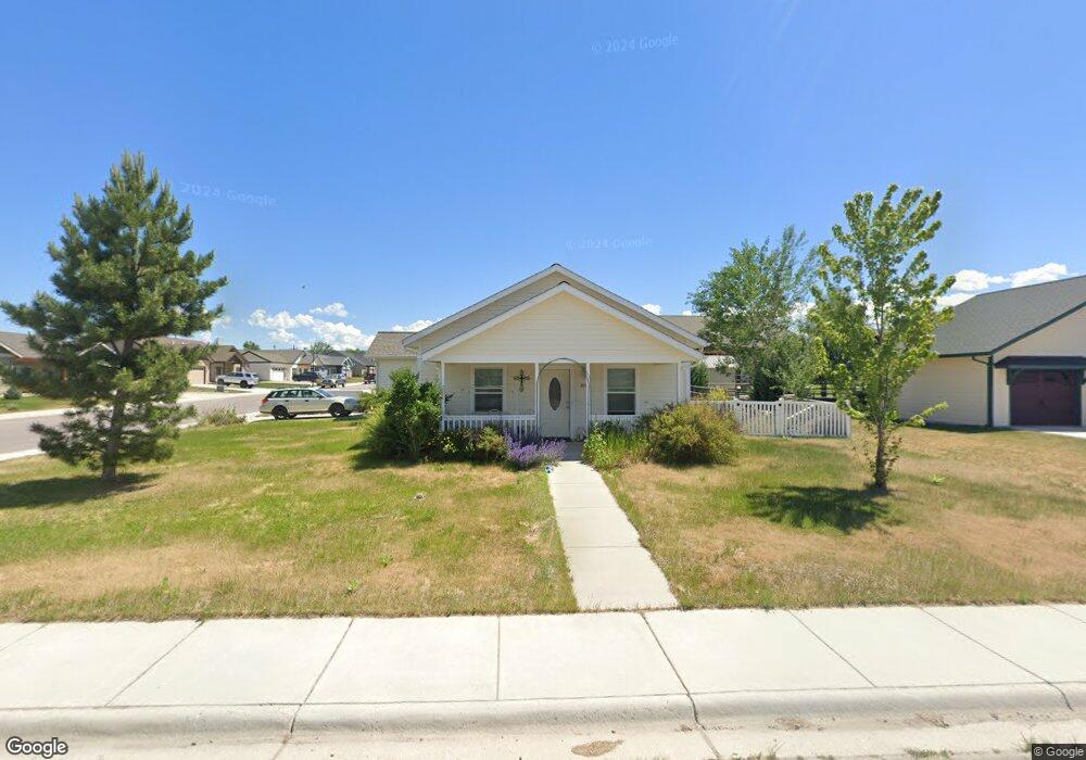
3586 Cimarron Ln Stevensville, MT 59870
Stevensville NeighborhoodEstimated Value: $120,000 - $413,000
2
Beds
2
Baths
952
Sq Ft
$336/Sq Ft
Est. Value
About This Home
This home is located at 3586 Cimarron Ln, Stevensville, MT 59870 and is currently estimated at $320,300, approximately $336 per square foot. 3586 Cimarron Ln is a home with nearby schools including Stevensville Elementary School, Stevensville Junior High School, and Stevensville High School.
Ownership History
Date
Name
Owned For
Owner Type
Purchase Details
Closed on
Jan 30, 2015
Sold by
Habitat Of Humanity Ravalli Cnty
Bought by
Call Lori A
Current Estimated Value
Home Financials for this Owner
Home Financials are based on the most recent Mortgage that was taken out on this home.
Original Mortgage
$106,672
Outstanding Balance
$81,673
Interest Rate
3.75%
Mortgage Type
New Conventional
Estimated Equity
$238,627
Create a Home Valuation Report for This Property
The Home Valuation Report is an in-depth analysis detailing your home's value as well as a comparison with similar homes in the area
Home Values in the Area
Average Home Value in this Area
Purchase History
| Date | Buyer | Sale Price | Title Company |
|---|---|---|---|
| Call Lori A | $133,340 | Stewart Title |
Source: Public Records
Mortgage History
| Date | Status | Borrower | Loan Amount |
|---|---|---|---|
| Open | Call Lori A | $106,672 |
Source: Public Records
Tax History Compared to Growth
Tax History
| Year | Tax Paid | Tax Assessment Tax Assessment Total Assessment is a certain percentage of the fair market value that is determined by local assessors to be the total taxable value of land and additions on the property. | Land | Improvement |
|---|---|---|---|---|
| 2025 | $268 | $393,600 | $0 | $0 |
| 2024 | $393 | $322,900 | $0 | $0 |
| 2023 | $1,120 | $322,900 | $0 | $0 |
| 2022 | $1,528 | $198,900 | $0 | $0 |
| 2021 | $1,659 | $198,900 | $0 | $0 |
| 2020 | $353 | $172,800 | $0 | $0 |
| 2019 | $791 | $172,800 | $0 | $0 |
| 2018 | $1,104 | $164,000 | $0 | $0 |
| 2017 | $1,050 | $164,000 | $0 | $0 |
| 2016 | $1,006 | $157,600 | $0 | $0 |
| 2015 | $1,432 | $157,600 | $0 | $0 |
Source: Public Records
Map
Nearby Homes
- 211 Middle Burnt Fork Rd
- 623 Park St Unit 3
- 413 5th St
- 304 10th St
- 1100 College St
- 308 8th St
- 302 Syringa St
- 819 E 2nd St
- 3808 Eastside Hwy
- 101 Binks Way Unit 19
- Lot 5 Bessie Ln
- 3806 Eastside Hwy
- NHN Mystic River Rd
- 404 Pine St
- 306 Valley View St
- 252 Barbara St
- 262 Barbara St
- 408 Buck St
- 325 Valley View St
- 3682 Dietz Dr
- 3582 Cimarron Ln
- 217 Tenderfoot Ln
- 3609 Sourdough Ln
- 210 Tenderfoot Ln
- 3593 Sourdough Ln
- 216 Tenderfoot Ln
- 3593 Sourdough
- Lot 11 Tenderfoot
- Lot 13 Tenderfoot
- 218 Tenderfoot Ln
- NHN Tenderfoot Ln
- 3592 Sourdough Ln
- 233 Tenderfoot Ln
- 230 Tenderfoot Ln
- 3600 Sourdough Ln
- NHN Cimarron Ln
- 234 Tenderfoot Ln
- 243 Tenderfoot Ln
- 3603 Trading Post Ln
- 3595 Trading Post Ln