359 Calef Hill Rd Tilton, NH 03276
Tilton NeighborhoodEstimated Value: $594,000 - $759,000
2
Beds
3
Baths
1,804
Sq Ft
$372/Sq Ft
Est. Value
About This Home
This home is located at 359 Calef Hill Rd, Tilton, NH 03276 and is currently estimated at $670,673, approximately $371 per square foot. 359 Calef Hill Rd is a home located in Belknap County with nearby schools including Southwick School, Winnisquam Regional Middle School, and Winnisquam Regional High School.
Ownership History
Date
Name
Owned For
Owner Type
Purchase Details
Closed on
Oct 18, 2006
Sold by
Foster Roseamond R
Bought by
King Judith E and Hamel Andrea A
Current Estimated Value
Home Financials for this Owner
Home Financials are based on the most recent Mortgage that was taken out on this home.
Original Mortgage
$200,000
Outstanding Balance
$70,232
Interest Rate
6.49%
Estimated Equity
$600,441
Create a Home Valuation Report for This Property
The Home Valuation Report is an in-depth analysis detailing your home's value as well as a comparison with similar homes in the area
Home Values in the Area
Average Home Value in this Area
Purchase History
| Date | Buyer | Sale Price | Title Company |
|---|---|---|---|
| King Judith E | $340,000 | -- |
Source: Public Records
Mortgage History
| Date | Status | Borrower | Loan Amount |
|---|---|---|---|
| Open | King Judith E | $200,000 |
Source: Public Records
Tax History Compared to Growth
Tax History
| Year | Tax Paid | Tax Assessment Tax Assessment Total Assessment is a certain percentage of the fair market value that is determined by local assessors to be the total taxable value of land and additions on the property. | Land | Improvement |
|---|---|---|---|---|
| 2024 | $6,776 | $627,400 | $293,200 | $334,200 |
| 2023 | $5,619 | $317,300 | $131,700 | $185,600 |
| 2022 | $5,099 | $317,300 | $131,700 | $185,600 |
| 2021 | $5,191 | $317,300 | $131,700 | $185,600 |
| 2020 | $5,761 | $311,900 | $131,700 | $180,200 |
| 2019 | $6,116 | $311,900 | $131,700 | $180,200 |
| 2018 | $5,518 | $247,100 | $98,500 | $148,600 |
| 2017 | $5,834 | $247,100 | $98,500 | $148,600 |
| 2016 | $3,185 | $240,400 | $98,500 | $141,900 |
| 2015 | $5,522 | $240,400 | $98,500 | $141,900 |
| 2014 | $4,786 | $240,400 | $98,500 | $141,900 |
| 2013 | $4,718 | $257,800 | $116,100 | $141,700 |
| 2012 | $4,705 | $257,800 | $116,100 | $141,700 |
Source: Public Records
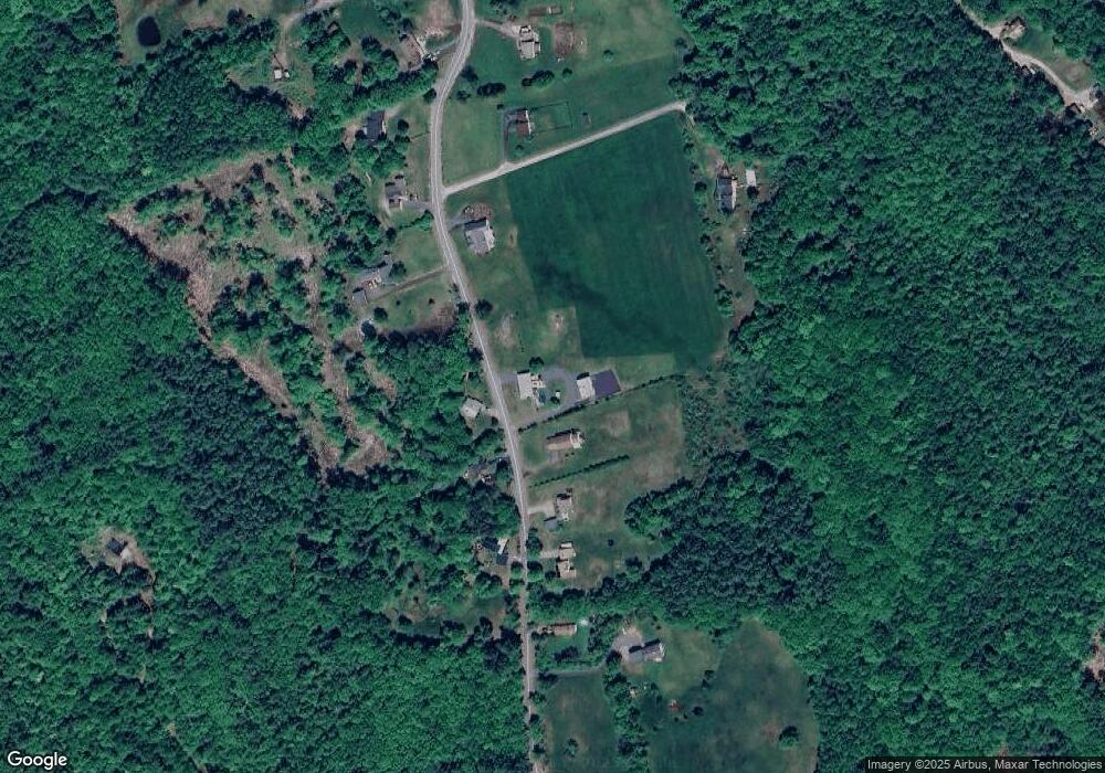
Map
Nearby Homes
- 0 Gulf Rd Unit 33 5061892
- R02-13 Calef Hill Rd
- 9 Aspen Rd
- 0 Clark Rd Unit 7-1 5058307
- 1 Marsh Hill Cir
- 12 Foothills Way
- 18 Pine St
- 9 High St
- 22 Cedar St
- 495 W Main St
- 225 Kendall St
- 193 Kendall St
- 42 Woodrow Ave
- 7 Simmons Ct
- 724 Sanborn Rd
- 180 Kendall St
- 124 E Main St
- 9 Hunt Ave
- 24 Morrison Ave
- 208 Sanborn St
- 360 Calef Hill Rd
- 347 Calef Hill Rd
- 348 Calef Hill Rd
- 343 Calef Hill Rd
- 371 Calef Hill Rd
- 340 Calef Hill Rd
- 370 Calef Hill Rd
- 337 Calef Hill Rd
- 379 Calef Hill Rd
- 329 Calef Hill Rd
- 380 Calef Hill Rd
- 321 Calef Hill Rd
- 386 Calef Hill Rd
- 395 Calef Hill Rd
- 394 Calef Hill Rd
- 401 Calef Hill Rd
- 404 Calef Hill Rd
- 310 Calef Hill Rd
- 402 Calef Hill Rd
- 299 Calef Hill Rd