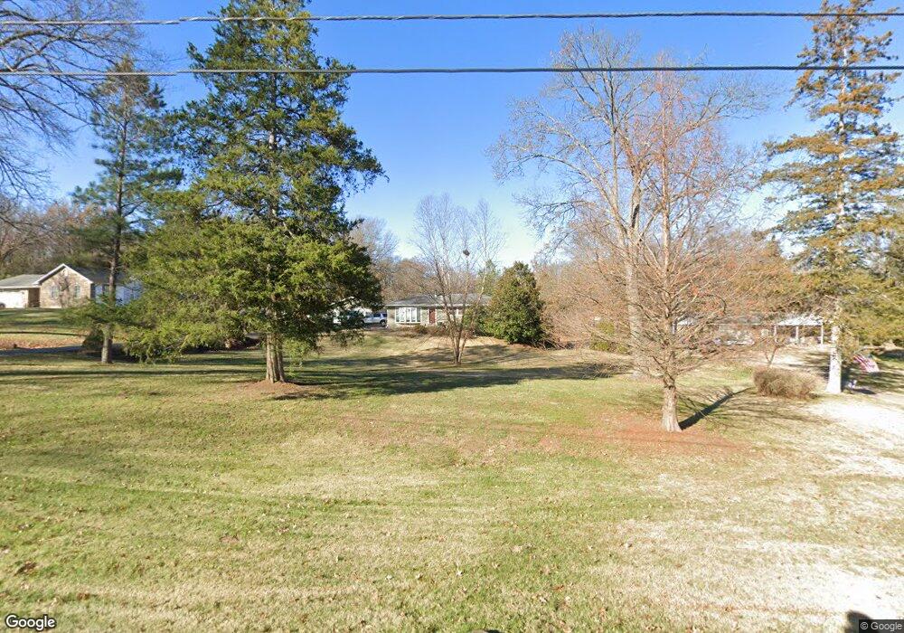
359 Cerny Ave Eureka, MO 63025
Estimated Value: $290,052 - $341,000
3
Beds
3
Baths
1,248
Sq Ft
$252/Sq Ft
Est. Value
About This Home
This home is located at 359 Cerny Ave, Eureka, MO 63025 and is currently estimated at $314,763, approximately $252 per square foot. 359 Cerny Ave is a home located in St. Louis County with nearby schools including Blevins Elementary School, Lasalle Springs Middle School, and Eureka Senior High School.
Ownership History
Date
Name
Owned For
Owner Type
Purchase Details
Closed on
Oct 13, 2015
Sold by
Advantage Properties Llc
Bought by
Terry Lois J
Current Estimated Value
Purchase Details
Closed on
Jun 24, 2005
Sold by
Bartley Donald D and Bartley Christine
Bought by
Terry William J and Terry Julia M
Home Financials for this Owner
Home Financials are based on the most recent Mortgage that was taken out on this home.
Original Mortgage
$241,082
Interest Rate
5.76%
Mortgage Type
Purchase Money Mortgage
Create a Home Valuation Report for This Property
The Home Valuation Report is an in-depth analysis detailing your home's value as well as a comparison with similar homes in the area
Home Values in the Area
Average Home Value in this Area
Purchase History
| Date | Buyer | Sale Price | Title Company |
|---|---|---|---|
| Terry Lois J | -- | Title Partners Agency Llc | |
| Terry William J | $229,000 | -- |
Source: Public Records
Mortgage History
| Date | Status | Borrower | Loan Amount |
|---|---|---|---|
| Previous Owner | Terry William J | $241,082 |
Source: Public Records
Tax History
| Year | Tax Paid | Tax Assessment Tax Assessment Total Assessment is a certain percentage of the fair market value that is determined by local assessors to be the total taxable value of land and additions on the property. | Land | Improvement |
|---|---|---|---|---|
| 2025 | $3,487 | $51,990 | $25,940 | $26,050 |
| 2024 | $3,487 | $46,700 | $18,160 | $28,540 |
| 2023 | $3,489 | $46,700 | $18,160 | $28,540 |
| 2022 | $3,034 | $37,780 | $19,480 | $18,300 |
| 2021 | $3,012 | $37,780 | $19,480 | $18,300 |
| 2020 | $2,931 | $35,150 | $14,080 | $21,070 |
| 2019 | $2,940 | $35,150 | $14,080 | $21,070 |
| 2018 | $2,869 | $32,370 | $10,580 | $21,790 |
| 2016 | $2,019 | $22,740 | $8,680 | $14,060 |
Source: Public Records
Map
Nearby Homes
- 369 Cerny Ave
- 329 Kevin Jon Ct
- 318 Kevin Jon Ct
- 75 Old Farmhouse Way
- 814 Eureka Rd
- 826 Lower Field Ln
- 808 Lower Field Ln
- 83 Old Farmhouse Way
- 830 Lower Field Ln
- 1000 Eureka Rd
- 331 Artic Fox Ct
- 1075 Eureka Rd
- 118 Towne Square Ct Unit D4
- 125 Towne Square Ct Unit 4E
- 345 Palisades Ridge Ct
- 637 N Virginia Ave
- 412 Parkview Ln
- 1045 Bloomfield Dr
- 1049 Bloomfield Dr
- 2475 Windswept Farms Dr
- 353 Cerny Ave
- 367 Cerny Ave
- 1TBB Waverly @ Cerny Ct
- 352 Cerny Ave
- 360 Cerny Ave
- 347 Cerny Ave
- 345 Cerny Ave
- 373 Cerny Ave
- 434 Cerny Ct
- 376 Cerny Ave
- 339 Cerny Ave
- 29 Hawk Hill Dr
- 430 Cerny Ct
- 80 Forest Hills Dr
- 99 Forest Hills Dr
- 72 Forest Hills Dr
- 347 Kevin Jon Ct
- 20 Pine Bough Ln
- 342 Cerny Ave
- 50 Grace Rose Ct
Your Personal Tour Guide
Ask me questions while you tour the home.