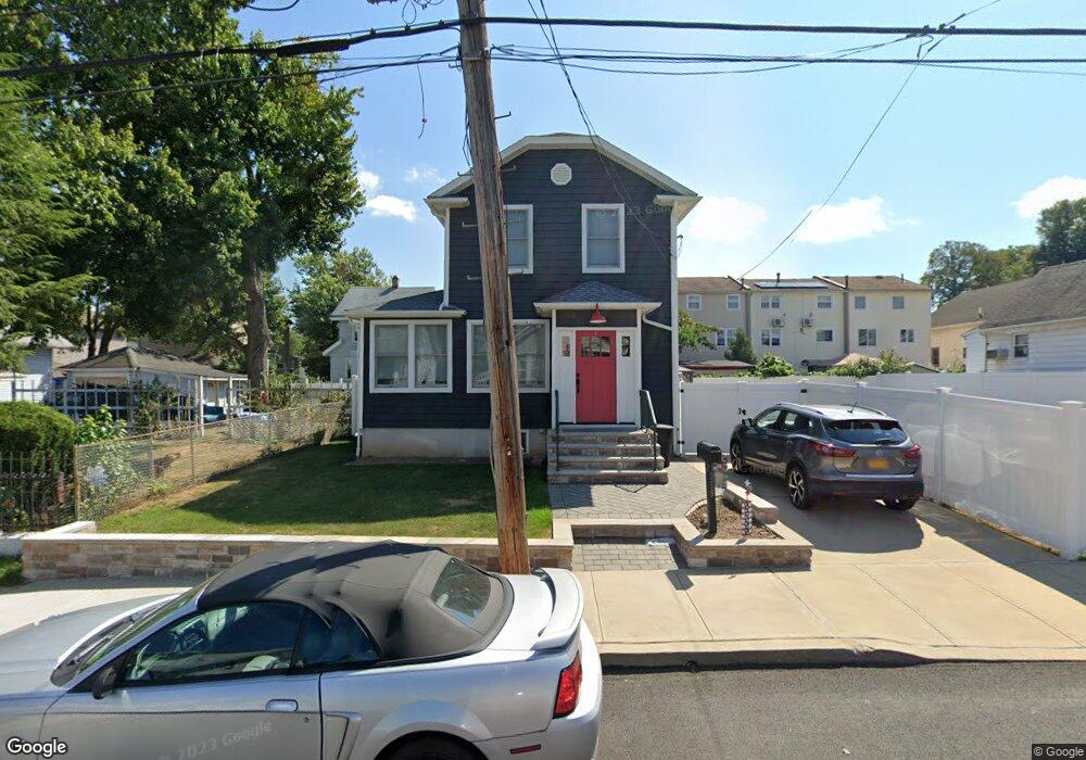
359 Demorest Ave Staten Island, NY 10314
Westerleigh NeighborhoodEstimated Value: $670,759 - $752,000
3
Beds
1
Bath
1,280
Sq Ft
$555/Sq Ft
Est. Value
About This Home
This home is located at 359 Demorest Ave, Staten Island, NY 10314 and is currently estimated at $710,440, approximately $555 per square foot. 359 Demorest Ave is a home located in Richmond County with nearby schools including P.S. 30 Westerleigh, I.S. 51 Edwin Markham, and Port Richmond High School.
Ownership History
Date
Name
Owned For
Owner Type
Purchase Details
Closed on
Oct 12, 2011
Sold by
Cammarata Mary E and Pesce Lisa A
Bought by
Vento Peter and Vento Bernadette
Current Estimated Value
Home Financials for this Owner
Home Financials are based on the most recent Mortgage that was taken out on this home.
Original Mortgage
$361,595
Outstanding Balance
$246,384
Interest Rate
4.08%
Mortgage Type
FHA
Estimated Equity
$464,056
Create a Home Valuation Report for This Property
The Home Valuation Report is an in-depth analysis detailing your home's value as well as a comparison with similar homes in the area
Home Values in the Area
Average Home Value in this Area
Purchase History
| Date | Buyer | Sale Price | Title Company |
|---|---|---|---|
| Vento Peter | $371,000 | None Available |
Source: Public Records
Mortgage History
| Date | Status | Borrower | Loan Amount |
|---|---|---|---|
| Open | Vento Peter | $361,595 |
Source: Public Records
Tax History Compared to Growth
Tax History
| Year | Tax Paid | Tax Assessment Tax Assessment Total Assessment is a certain percentage of the fair market value that is determined by local assessors to be the total taxable value of land and additions on the property. | Land | Improvement |
|---|---|---|---|---|
| 2025 | $6,024 | $43,140 | $9,297 | $33,843 |
| 2024 | $6,024 | $45,240 | $8,433 | $36,807 |
| 2023 | $5,747 | $28,296 | $7,966 | $20,330 |
| 2022 | $5,560 | $39,360 | $12,720 | $26,640 |
| 2021 | $5,530 | $38,940 | $12,720 | $26,220 |
| 2020 | $5,562 | $36,240 | $12,720 | $23,520 |
| 2019 | $5,229 | $33,180 | $12,720 | $20,460 |
| 2018 | $4,807 | $23,580 | $12,720 | $10,860 |
| 2017 | $4,731 | $23,208 | $11,259 | $11,949 |
| 2016 | $4,377 | $21,896 | $10,948 | $10,948 |
| 2015 | $4,170 | $21,896 | $12,392 | $9,504 |
| 2014 | $4,170 | $21,728 | $13,319 | $8,409 |
Source: Public Records
Map
Nearby Homes
- 366 Neal Dow Ave
- 26 Iowa Place
- 202 Watchogue Rd
- 63 Avon Ln
- 27 Frederick St
- 284 Bidwell Ave
- 279 Saint John Ave
- 282 Willard Ave
- 307 Clinton B Fiske Ave
- 307 Fiske Ave
- 2 Smith Ct
- 48 Markham Place
- 251 Saint John Ave
- 2111 Victory Blvd
- 249 Dickie Ave
- 292 Woolley Ave
- 290 Woolley Ave
- 124 Byrne Ave
- 36 Carmel Ave
- 101 Delmore St
- 351 Demorest Ave
- 356 Neal Dow Ave
- 367 Demorest Ave
- 364 Neal Dow Ave
- 354 Neal Dow Ave
- 352 Neal Dow Ave
- 368 Neal Dow Ave
- 371 Demorest Ave
- 347 Demorest Ave
- 360 Demorest Ave
- 364 Demorest Ave
- 356 Demorest Ave
- 370 Neal Dow Ave
- 352 Demorest Ave
- 366 Demorest Ave
- 375 Demorest Ave
- 346 Neal Dow Ave
- 343 Demorest Ave
- 348 Demorest Ave
- 370 Demorest Ave