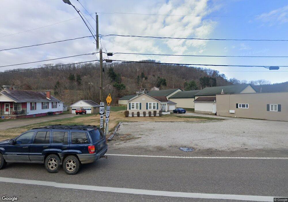
359 Highway 7 N Powhatan Point, OH 43942
Estimated Value: $90,835 - $138,000
3
Beds
1
Bath
1,056
Sq Ft
$104/Sq Ft
Est. Value
About This Home
This home is located at 359 Highway 7 N, Powhatan Point, OH 43942 and is currently estimated at $110,209, approximately $104 per square foot. 359 Highway 7 N is a home located in Belmont County with nearby schools including Powhatan Elementary School, River Elementary School, and Beallsville High School.
Ownership History
Date
Name
Owned For
Owner Type
Purchase Details
Closed on
Sep 29, 2022
Sold by
Delores Henrietta Hoffman Trust
Bought by
Lehman Nathan and Lehman Tonya
Current Estimated Value
Purchase Details
Closed on
Feb 10, 2014
Sold by
Hoffman Owen L and Hoffman Delores
Bought by
Hendershot Dennis D and Hendershot Suzanne
Purchase Details
Closed on
Aug 26, 2004
Sold by
Hoffman Owen L and Hoffman Delores
Bought by
Hoffman Owen L and Delores Surv
Purchase Details
Closed on
Jun 30, 1993
Sold by
Hoffman Owen L and Hoffman Delores
Bought by
Hoffman Owen L and Hoffman Delores
Purchase Details
Closed on
Jan 1, 1986
Sold by
Novacoski James E and Novacoski Susa
Bought by
Novacoski James E and Novacoski Susa
Create a Home Valuation Report for This Property
The Home Valuation Report is an in-depth analysis detailing your home's value as well as a comparison with similar homes in the area
Home Values in the Area
Average Home Value in this Area
Purchase History
| Date | Buyer | Sale Price | Title Company |
|---|---|---|---|
| Lehman Nathan | $180,000 | Showcase Title Agency | |
| Lehman Nathan | $180,000 | Showcase Title Agency | |
| Hendershot Dennis D | -- | Attorney | |
| Hoffman Owen L | -- | -- | |
| Hoffman Owen L | $23,500 | -- | |
| Novacoski James E | -- | -- |
Source: Public Records
Tax History Compared to Growth
Tax History
| Year | Tax Paid | Tax Assessment Tax Assessment Total Assessment is a certain percentage of the fair market value that is determined by local assessors to be the total taxable value of land and additions on the property. | Land | Improvement |
|---|---|---|---|---|
| 2024 | $751 | $20,700 | $1,860 | $18,840 |
| 2023 | $975 | $25,300 | $1,670 | $23,630 |
| 2022 | $974 | $25,302 | $1,670 | $23,632 |
| 2021 | $971 | $25,302 | $1,670 | $23,632 |
| 2020 | $893 | $22,000 | $1,450 | $20,550 |
| 2019 | $896 | $22,000 | $1,450 | $20,550 |
| 2018 | $909 | $22,000 | $1,450 | $20,550 |
| 2017 | $1,064 | $24,680 | $1,890 | $22,790 |
| 2016 | $1,009 | $24,680 | $1,890 | $22,790 |
| 2015 | $1,033 | $24,680 | $1,890 | $22,790 |
| 2014 | $818 | $20,490 | $1,810 | $18,680 |
| 2013 | $829 | $20,520 | $1,840 | $18,680 |
Source: Public Records
Map
Nearby Homes
- 110 Cove Dr
- 315 Ohio 7
- 0 Clark St
- 122 2nd St
- 122 3rd St
- 54885 Mount Victory Rd
- 0 Mount Victory Rd
- 54360 Mount Victory Rd
- 252 Kansas Ridge Ln
- 9 Gypsy Dr
- 4390 Taylors Ridge Rd
- 354 Clearview Heights Dr
- 21 Tharon Ln
- 53 Blue Jay Ln
- 2 Roberts Ridge Saint Joseph Rd
- 135 Windy Hollow Rd
- 49 Lavender Ln
- 85 Virginia Oaks Dr
- 4796 Big Grave Creek Rd
- 911 12th St