Estimated Value: $258,293 - $529,000
--
Bed
--
Bath
--
Sq Ft
1.4
Acres
About This Home
This home is located at 359 Hiram Hill Rd, Hiram, ME 04041 and is currently estimated at $360,073. 359 Hiram Hill Rd is a home.
Ownership History
Date
Name
Owned For
Owner Type
Purchase Details
Closed on
Jun 17, 2021
Sold by
Souza John F and Souza Kimberly J
Bought by
Souza John D
Current Estimated Value
Purchase Details
Closed on
Oct 14, 2016
Sold by
Souza John F
Bought by
Rousseau Charles E and Rousseau Joanne M
Home Financials for this Owner
Home Financials are based on the most recent Mortgage that was taken out on this home.
Original Mortgage
$108,000
Interest Rate
3.46%
Mortgage Type
Commercial
Purchase Details
Closed on
Apr 4, 2006
Sold by
Cox Douglas P
Bought by
Souza John F and Souza Kimberly J
Create a Home Valuation Report for This Property
The Home Valuation Report is an in-depth analysis detailing your home's value as well as a comparison with similar homes in the area
Home Values in the Area
Average Home Value in this Area
Purchase History
| Date | Buyer | Sale Price | Title Company |
|---|---|---|---|
| Souza John D | -- | None Available | |
| Souza John D | -- | None Available | |
| Rousseau Charles E | -- | -- | |
| Souza John F | -- | -- | |
| Souza John F | -- | -- | |
| Souza John F | -- | -- | |
| Rousseau Charles E | -- | -- | |
| Souza John F | -- | -- |
Source: Public Records
Mortgage History
| Date | Status | Borrower | Loan Amount |
|---|---|---|---|
| Previous Owner | Rousseau Charles E | $108,000 |
Source: Public Records
Tax History Compared to Growth
Tax History
| Year | Tax Paid | Tax Assessment Tax Assessment Total Assessment is a certain percentage of the fair market value that is determined by local assessors to be the total taxable value of land and additions on the property. | Land | Improvement |
|---|---|---|---|---|
| 2024 | $2,032 | $186,780 | $42,190 | $144,590 |
| 2023 | $1,992 | $161,200 | $33,750 | $127,450 |
| 2022 | $1,811 | $123,050 | $28,130 | $94,920 |
| 2021 | $1,798 | $123,050 | $28,130 | $94,920 |
| 2020 | $2,674 | $123,050 | $28,130 | $94,920 |
| 2019 | $1,789 | $123,050 | $28,130 | $94,920 |
| 2018 | $1,793 | $123,050 | $28,130 | $94,920 |
| 2017 | $1,758 | $123,050 | $28,130 | $94,920 |
| 2016 | $1,880 | $127,980 | $28,130 | $99,850 |
Source: Public Records
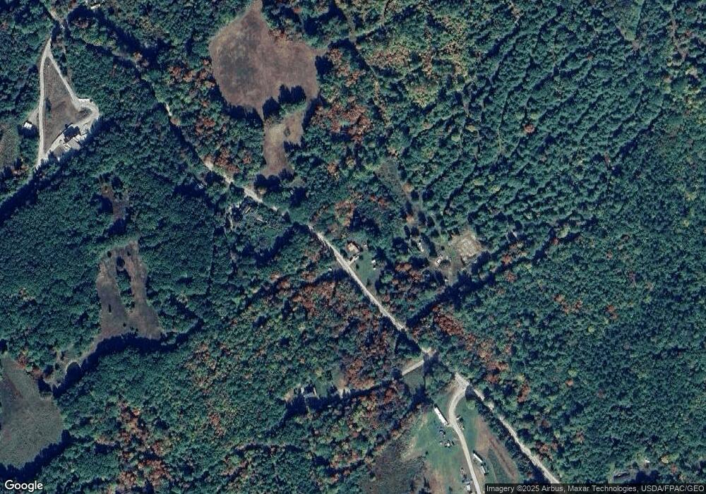
Map
Nearby Homes
- 00 Cottage Ln
- 17 Wakefield Rd
- 15 Promised Land Dr
- 839 Brownfield Rd
- 42AC Ben Gilpatrick Rd
- 10 Caitlin Dr
- 133 Plantation Ln
- TBD Portland Ln
- 272 Tripptown Rd
- 00 Brownfield Rd
- 75 Ernest Day Rd
- Lot U17-6 Narrow Gauge Trail
- 80 Pasture Ln
- 79 Pasture Ln
- 80A Pasture Ln
- 992 Pequawket Trail
- 96 Ledgewood Ln
- 8 Graffam Rd
- Lot 11-A Misty Ln
- 30 Mountain View Ave
- 358 Hiram Hill Rd
- 376 Hiram Hill Rd
- 338 Hiram Hill Rd
- 384 Hiram Hill Rd
- R9L67 Hiram Hill Rd
- 5 Sargent Rd
- 21 Sargent Rd
- 299 Hiram Hill Rd
- 0 Hiram Hill Rd
- 428 Hiram Hill Rd
- 270 Hiram Hill Rd
- 6 Acres Richardson
- 6ac Richardson
- 11.6 Richardson Rd
- 453 Hiram Hill Rd
- 243 Hiram Hill Rd
- 15 Richardson Rd
- 15 Richardson Rd
- 15 Richardson Rd
- 15 Acres Richardson Rd