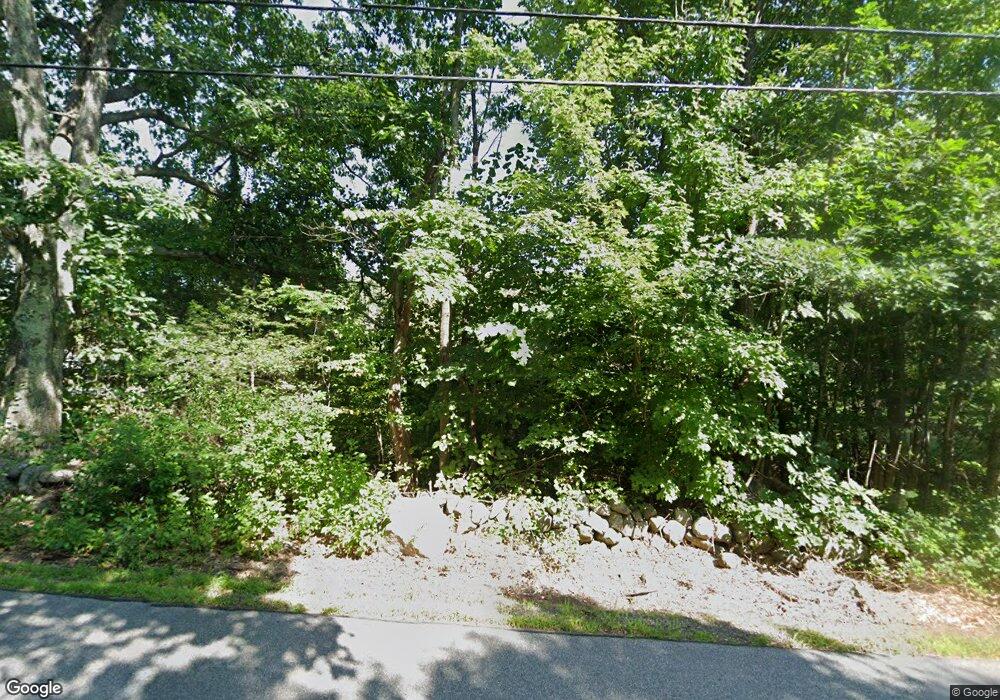
359 Morrill St Gilford, NH 03249
Estimated Value: $548,595 - $609,000
3
Beds
2
Baths
3,400
Sq Ft
$169/Sq Ft
Est. Value
About This Home
This home is located at 359 Morrill St, Gilford, NH 03249 and is currently estimated at $575,149, approximately $169 per square foot. 359 Morrill St is a home located in Belknap County with nearby schools including Gilford Elementary School, Gilford Middle School, and Gilford High School.
Ownership History
Date
Name
Owned For
Owner Type
Purchase Details
Closed on
May 27, 2011
Sold by
Northface Rt
Bought by
Oconnor Michael J and Oconnor Penelope C
Current Estimated Value
Home Financials for this Owner
Home Financials are based on the most recent Mortgage that was taken out on this home.
Original Mortgage
$242,755
Interest Rate
4.94%
Mortgage Type
Purchase Money Mortgage
Purchase Details
Closed on
Dec 13, 2010
Sold by
Wells Fargo Bank Na Tr
Bought by
Northface Rt
Purchase Details
Closed on
Mar 3, 2010
Sold by
Lemire Robert D
Bought by
Wells Fargo Bank Na Tr
Create a Home Valuation Report for This Property
The Home Valuation Report is an in-depth analysis detailing your home's value as well as a comparison with similar homes in the area
Home Values in the Area
Average Home Value in this Area
Purchase History
| Date | Buyer | Sale Price | Title Company |
|---|---|---|---|
| Oconnor Michael J | $235,000 | -- | |
| Northface Rt | $155,000 | -- | |
| Wells Fargo Bank Na Tr | $215,900 | -- |
Source: Public Records
Mortgage History
| Date | Status | Borrower | Loan Amount |
|---|---|---|---|
| Open | Wells Fargo Bank Na Tr | $241,243 | |
| Closed | Wells Fargo Bank Na Tr | $242,755 | |
| Previous Owner | Wells Fargo Bank Na Tr | $235,000 |
Source: Public Records
Tax History Compared to Growth
Tax History
| Year | Tax Paid | Tax Assessment Tax Assessment Total Assessment is a certain percentage of the fair market value that is determined by local assessors to be the total taxable value of land and additions on the property. | Land | Improvement |
|---|---|---|---|---|
| 2024 | $5,536 | $492,090 | $104,090 | $388,000 |
| 2023 | $5,069 | $492,090 | $104,090 | $388,000 |
| 2022 | $4,662 | $380,560 | $68,760 | $311,800 |
| 2021 | $4,673 | $380,560 | $68,760 | $311,800 |
| 2020 | $5,009 | $333,260 | $64,260 | $269,000 |
| 2019 | $4,888 | $308,170 | $37,170 | $271,000 |
| 2018 | $4,721 | $277,040 | $42,840 | $234,200 |
| 2017 | $4,697 | $272,140 | $42,840 | $229,300 |
| 2016 | $4,643 | $258,640 | $42,840 | $215,800 |
| 2015 | $4,532 | $252,200 | $41,400 | $210,800 |
| 2011 | $4,130 | $222,620 | $45,720 | $176,900 |
Source: Public Records
Map
Nearby Homes
- 233 Stark St
- 7 Countryside Dr
- 6 Colonial Dr
- 32 David Lewis Rd
- 162 Morrill St
- 122 Valley St
- 88 Stark St
- 75 Stark St Unit 3
- 30 Beacon Hill Rd
- 96 Clinton St
- 102 Woodland Ave
- 26 Saint Catherine St
- 74 Morrill St
- 0 Sanborn St Unit 8 5059863
- 239 Gilford Ave
- 19 Knollwood Dr
- 23 Liscomb Cir Unit 58
- 468 Union Ave
- Lot 1 Winter St
- 50 Belvidere St
- 349 Morrill St
- 388 Morrill St
- 0 Morrill St
- 363 Morrill St
- 369 Morrill St
- 343 Morrill St
- 356 Morrill St
- 366 Morrill St
- 366 Morrill St Unit 6
- 348 Morrill St
- 337 Morrill St
- 342 Morrill St
- 372 Morrill St
- 329 Morrill St
- 27 Weathering Heights
- 332 Morrill St
- 28 Weathering Heights
- 381 Morrill St
- 380 Morrill St
- 326 Morrill St
