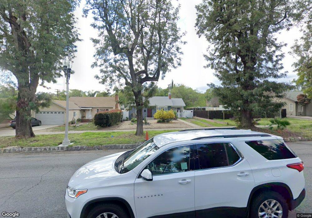
359 S Euclid Ave Upland, CA 91786
Estimated Value: $593,000 - $676,000
2
Beds
1
Bath
872
Sq Ft
$720/Sq Ft
Est. Value
About This Home
This home is located at 359 S Euclid Ave, Upland, CA 91786 and is currently estimated at $627,691, approximately $719 per square foot. 359 S Euclid Ave is a home located in San Bernardino County with nearby schools including Citrus Elementary, Upland Junior High School, and Upland High School.
Ownership History
Date
Name
Owned For
Owner Type
Purchase Details
Closed on
Feb 27, 2009
Sold by
Residential Funding Company Llc
Bought by
Munoz Danielle D
Current Estimated Value
Home Financials for this Owner
Home Financials are based on the most recent Mortgage that was taken out on this home.
Original Mortgage
$177,721
Outstanding Balance
$112,466
Interest Rate
5.04%
Mortgage Type
FHA
Estimated Equity
$515,225
Purchase Details
Closed on
May 27, 2008
Sold by
Lira Frank
Bought by
Residential Funding Co Llc and Residential Funding Corp
Purchase Details
Closed on
Jun 16, 2004
Sold by
Long Grover M
Bought by
Lira Frank
Home Financials for this Owner
Home Financials are based on the most recent Mortgage that was taken out on this home.
Original Mortgage
$244,800
Interest Rate
6.65%
Mortgage Type
Purchase Money Mortgage
Create a Home Valuation Report for This Property
The Home Valuation Report is an in-depth analysis detailing your home's value as well as a comparison with similar homes in the area
Home Values in the Area
Average Home Value in this Area
Purchase History
| Date | Buyer | Sale Price | Title Company |
|---|---|---|---|
| Munoz Danielle D | $181,000 | First American Title Company | |
| Residential Funding Co Llc | $232,000 | None Available | |
| Lira Frank | $306,000 | First American |
Source: Public Records
Mortgage History
| Date | Status | Borrower | Loan Amount |
|---|---|---|---|
| Open | Munoz Danielle D | $177,721 | |
| Previous Owner | Lira Frank | $244,800 | |
| Closed | Lira Frank | $61,200 |
Source: Public Records
Tax History
| Year | Tax Paid | Tax Assessment Tax Assessment Total Assessment is a certain percentage of the fair market value that is determined by local assessors to be the total taxable value of land and additions on the property. | Land | Improvement |
|---|---|---|---|---|
| 2025 | $2,632 | $233,086 | $81,130 | $151,956 |
| 2024 | $2,548 | $228,515 | $79,539 | $148,976 |
| 2023 | $2,615 | $224,034 | $77,979 | $146,055 |
| 2022 | $2,451 | $219,641 | $76,450 | $143,191 |
| 2021 | $2,443 | $215,334 | $74,951 | $140,383 |
| 2020 | $2,376 | $213,126 | $74,182 | $138,944 |
| 2019 | $2,368 | $208,947 | $72,727 | $136,220 |
| 2018 | $2,311 | $204,850 | $71,301 | $133,549 |
| 2017 | $2,243 | $200,833 | $69,903 | $130,930 |
| 2016 | $2,056 | $196,895 | $68,532 | $128,363 |
| 2015 | $2,008 | $193,938 | $67,503 | $126,435 |
| 2014 | $1,956 | $190,139 | $66,181 | $123,958 |
Source: Public Records
Map
Nearby Homes
- 296 S Laurel Ave
- 333 White Ave
- 345 Euclid Place
- 340 W Caroline Ct
- 428 W 8th St
- 1550 N Bonita Ct
- 107 N 1st Ave
- 111 N 1st Ave
- 196 Eureka Place
- 145 N 1st Ave
- 144 Dorsett Ave
- 161 N 1st Ave
- 306 S Vallejo Way
- 580 Katy Dr
- 595 Orlando Ct
- 435 W 9th St Unit B3
- 308 S Campus Ave
- 839 Richland St
- 509 N Euclid Ave
- 556 D St
- 343 S Euclid Ave
- 367 S Euclid Ave
- 333 S Euclid Ave
- 375 S Euclid Ave
- 352 S Laurel Ave
- 360 S Laurel Ave
- 327 S Euclid Ave Unit B
- 327 S Euclid Ave Unit A
- 327 S Euclid Ave
- 340 S Laurel Ave
- 368 S Laurel Ave
- 383 S Euclid Ave
- 332 S Laurel Ave
- 321 S Euclid Ave
- 378 S Laurel Ave
- 324 S Laurel Ave
- 311 S Euclid Ave
- 395 S Euclid Ave
- 53 W 7th St
- 71 W 7th St
Your Personal Tour Guide
Ask me questions while you tour the home.