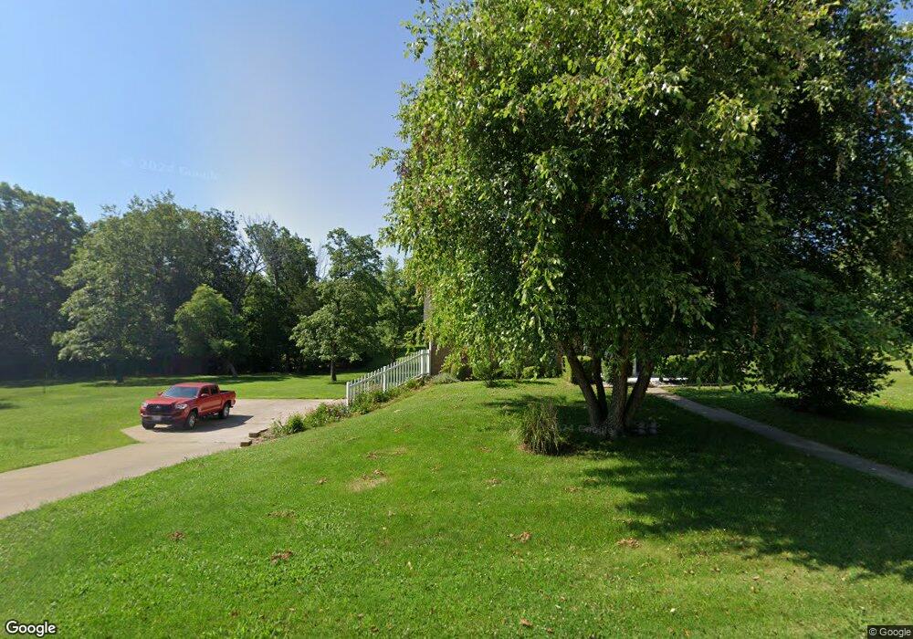
359 St Andrews Dr Holts Summit, MO 65043
Estimated Value: $207,000 - $264,000
Studio
1
Bath
1,248
Sq Ft
$184/Sq Ft
Est. Value
About This Home
This home is located at 359 St Andrews Dr, Holts Summit, MO 65043 and is currently estimated at $229,182, approximately $183 per square foot. 359 St Andrews Dr is a home located in Callaway County with nearby schools including North Elementary School, Lewis & Clark Middle School, and Jefferson City High School.
Ownership History
Date
Name
Owned For
Owner Type
Purchase Details
Closed on
Jul 18, 2008
Sold by
Reed Carroll and Reed Cynthia Hightee
Bought by
Williams Rodney D and Williams Barbal
Current Estimated Value
Home Financials for this Owner
Home Financials are based on the most recent Mortgage that was taken out on this home.
Original Mortgage
$118,600
Outstanding Balance
$69,959
Interest Rate
6.4%
Mortgage Type
New Conventional
Estimated Equity
$159,223
Create a Home Valuation Report for This Property
The Home Valuation Report is an in-depth analysis detailing your home's value as well as a comparison with similar homes in the area
Home Values in the Area
Average Home Value in this Area
Purchase History
| Date | Buyer | Sale Price | Title Company |
|---|---|---|---|
| Williams Rodney D | -- | None Available |
Source: Public Records
Mortgage History
| Date | Status | Borrower | Loan Amount |
|---|---|---|---|
| Open | Williams Rodney D | $118,600 |
Source: Public Records
Tax History
| Year | Tax Paid | Tax Assessment Tax Assessment Total Assessment is a certain percentage of the fair market value that is determined by local assessors to be the total taxable value of land and additions on the property. | Land | Improvement |
|---|---|---|---|---|
| 2025 | $1,530 | $24,541 | $0 | $0 |
| 2024 | $1,530 | $24,541 | $0 | $0 |
| 2023 | $1,530 | $23,317 | $0 | $0 |
| 2022 | $1,453 | $23,317 | $1,150 | $22,167 |
| 2021 | $1,444 | $23,317 | $1,150 | $22,167 |
| 2020 | $1,462 | $23,317 | $1,150 | $22,167 |
| 2019 | $1,402 | $23,317 | $1,150 | $22,167 |
| 2018 | $1,407 | $23,317 | $1,150 | $22,167 |
| 2017 | $864 | $14,524 | $1,256 | $13,268 |
| 2016 | $741 | $14,530 | $0 | $0 |
| 2015 | $742 | $14,530 | $0 | $0 |
| 2014 | $759 | $14,530 | $0 | $0 |
Source: Public Records
Map
Nearby Homes
- 637 Brentwood Ln
- 801 Halifax Rd
- 185 Spring Ave
- 0 Halifax Rd
- 11421 Valley View Ct
- 415 Spring Ave
- 11419 Valley View Ct
- 13140 County Road 4037
- 110 Wildfire Ct
- 12085 County Road 4037
- 305 W Hillcrest Ave (Lot 2)
- 305 W Hillcrest Ave (Lot 1)
- 275 Rosewood Ct
- 41 acres Dover Dr
- LOT 6 Willow Woods
- 10 The Bluffs
- 962 Cochise Dr
- 12133 County Road 4040
- 2424 Kirk Dr
- 12301 County Road 4037
- 361 St Andrews Dr
- 351 St Andrews Dr
- 679 Branch Rd
- 300 St Andrews Dr
- 401 St Andrews Dr
- 689 Branch Rd
- 344 St Andrews Dr
- 699 Branch Rd
- 409 St Andrews Dr
- 331 St Andrews Dr
- 678 Branch Rd
- 686 Branch Rd
- 709 Branch Rd
- 670 Branch Rd
- 694 Branch Rd
- 662 Branch Rd
- 417 St Andrews Dr
- 704 Branch Rd
- 641 Branch Rd
- 719 Branch Rd
Your Personal Tour Guide
Ask me questions while you tour the home.
