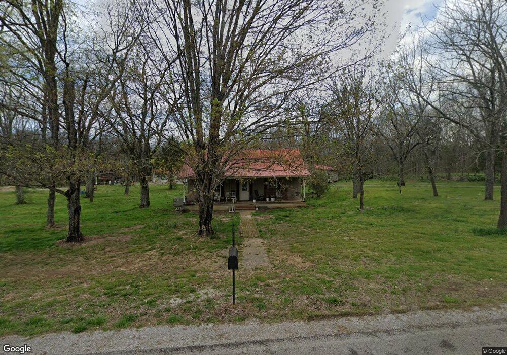
3590 Anes Station Rd Lewisburg, TN 37091
Estimated Value: $331,000 - $527,959
--
Bed
1
Bath
1,776
Sq Ft
$260/Sq Ft
Est. Value
About This Home
This home is located at 3590 Anes Station Rd, Lewisburg, TN 37091 and is currently estimated at $461,986, approximately $260 per square foot. 3590 Anes Station Rd is a home located in Marshall County with nearby schools including Oak Grove Elementary School, Marshall Elementary School, and Westhills Elementary School.
Ownership History
Date
Name
Owned For
Owner Type
Purchase Details
Closed on
Sep 1, 2009
Sold by
Taylor Seth
Bought by
Taylor John Derek
Current Estimated Value
Purchase Details
Closed on
Aug 28, 2009
Sold by
Taylor Pat
Bought by
Taylor John Derek
Purchase Details
Closed on
Jan 24, 2009
Sold by
Taylor John H Of
Bought by
Taylor John Derek
Purchase Details
Closed on
Dec 11, 2000
Sold by
Sue Poarch Linda
Bought by
Cassello David J
Purchase Details
Closed on
Dec 1, 2000
Sold by
Ned Poarch and Ned Villa
Bought by
Sue Poarch Linda
Create a Home Valuation Report for This Property
The Home Valuation Report is an in-depth analysis detailing your home's value as well as a comparison with similar homes in the area
Home Values in the Area
Average Home Value in this Area
Purchase History
| Date | Buyer | Sale Price | Title Company |
|---|---|---|---|
| Taylor John Derek | -- | -- | |
| Taylor John Derek | -- | -- | |
| Taylor John Derek | -- | -- | |
| Cassello David J | $66,000 | -- | |
| Sue Poarch Linda | -- | -- | |
| Ned Poarch | -- | -- |
Source: Public Records
Tax History Compared to Growth
Tax History
| Year | Tax Paid | Tax Assessment Tax Assessment Total Assessment is a certain percentage of the fair market value that is determined by local assessors to be the total taxable value of land and additions on the property. | Land | Improvement |
|---|---|---|---|---|
| 2024 | $1,058 | $58,200 | $21,950 | $36,250 |
| 2023 | $1,058 | $58,200 | $21,950 | $36,250 |
| 2022 | $1,065 | $58,575 | $22,325 | $36,250 |
| 2021 | $987 | $35,100 | $11,125 | $23,975 |
| 2020 | $987 | $35,100 | $11,125 | $23,975 |
| 2019 | $987 | $35,100 | $11,125 | $23,975 |
| 2018 | $1,087 | $35,100 | $11,125 | $23,975 |
| 2017 | $1,087 | $39,375 | $11,125 | $28,250 |
| 2016 | $871 | $27,050 | $8,425 | $18,625 |
| 2015 | $871 | $27,050 | $8,425 | $18,625 |
| 2014 | $871 | $27,050 | $8,425 | $18,625 |
Source: Public Records
Map
Nearby Homes
- 3560 Nashville Hwy
- 3327 Nashville Hwy
- 2137 Horton Way
- 3600 Nashville Hwy
- 3293 Nashville Hwy
- 0 Nashville Hwy Unit RTC3045409
- 0 Nashville Hwy Unit RTC2970248
- 0 Nashville Hwy Unit RTC2975994
- 0 Anes Station Rd
- 3388 Anes Station Rd
- 3130 Nashville Hwy
- 3077 Nashville Hwy
- 3124 Rich Dr
- 2555 Bob Cheek Rd
- 1820 Wade Brown Rd
- 2220 Hunter Bills Rd
- 2989 Stegall Rd
- 2829 Anes Station Rd
- 2661 Anes Station Rd
- 0 Powell Ln
- 2171 Horton Way
- 2173 Horton Way
- 2175 Horton Way
- 2165 Horton Way
- 2169 Horton Way
- 2177 Horton Way
- 2179 Horton Way
- 2167 Horton Way
- 2165 Horton Way
- 2179 Horton Way
- 2181 Horton Way
- 2170 Horton Way
- 2159 Horton Way
- 2172 Horton Way
- 2174 Horton Way
- 2157 Horton Way
- 2183 Horton Way
- 2168 Horton Way
- 2176 Horton Way
- 2155 Horton Way