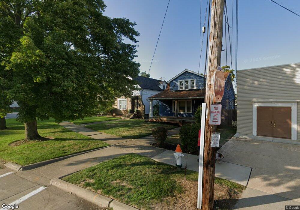
3591 W Park Rd Cleveland, OH 44111
Kamm's Corners NeighborhoodEstimated Value: $210,000 - $223,000
3
Beds
2
Baths
1,026
Sq Ft
$211/Sq Ft
Est. Value
About This Home
This home is located at 3591 W Park Rd, Cleveland, OH 44111 and is currently estimated at $216,220, approximately $210 per square foot. 3591 W Park Rd is a home located in Cuyahoga County with nearby schools including Artemus Ward School, Almira Academy, and Anton Grdina School.
Ownership History
Date
Name
Owned For
Owner Type
Purchase Details
Closed on
Oct 29, 2009
Sold by
Munroe Thomas A and Munroe Laura Mae
Bought by
Assad Eric M
Current Estimated Value
Home Financials for this Owner
Home Financials are based on the most recent Mortgage that was taken out on this home.
Original Mortgage
$56,949
Outstanding Balance
$37,318
Interest Rate
5.07%
Mortgage Type
FHA
Estimated Equity
$178,902
Purchase Details
Closed on
Aug 29, 1988
Sold by
Lopez Joseph M
Bought by
Munroe Thomas A
Purchase Details
Closed on
Jan 1, 1988
Bought by
Lopez Joseph M
Create a Home Valuation Report for This Property
The Home Valuation Report is an in-depth analysis detailing your home's value as well as a comparison with similar homes in the area
Home Values in the Area
Average Home Value in this Area
Purchase History
| Date | Buyer | Sale Price | Title Company |
|---|---|---|---|
| Assad Eric M | $58,000 | Northstar Title Services Llc | |
| Munroe Thomas A | $51,000 | -- | |
| Lopez Joseph M | -- | -- |
Source: Public Records
Mortgage History
| Date | Status | Borrower | Loan Amount |
|---|---|---|---|
| Open | Assad Eric M | $56,949 |
Source: Public Records
Tax History Compared to Growth
Tax History
| Year | Tax Paid | Tax Assessment Tax Assessment Total Assessment is a certain percentage of the fair market value that is determined by local assessors to be the total taxable value of land and additions on the property. | Land | Improvement |
|---|---|---|---|---|
| 2024 | $4,594 | $70,070 | $16,975 | $53,095 |
| 2023 | $3,473 | $45,790 | $13,480 | $32,310 |
| 2022 | $3,453 | $45,780 | $13,480 | $32,310 |
| 2021 | $3,418 | $45,780 | $13,480 | $32,310 |
| 2020 | $3,041 | $35,210 | $10,360 | $24,850 |
| 2019 | $2,812 | $100,600 | $29,600 | $71,000 |
| 2018 | $2,802 | $35,210 | $10,360 | $24,850 |
| 2017 | $1,839 | $22,300 | $8,720 | $13,580 |
| 2016 | $1,825 | $22,300 | $8,720 | $13,580 |
| 2015 | $1,665 | $22,300 | $8,720 | $13,580 |
| 2014 | $1,665 | $20,270 | $7,910 | $12,360 |
Source: Public Records
Map
Nearby Homes
- 3472 W 159th St
- 3619 Rockport Ave
- 3727 Melbourne Ave
- 16715 Claire Ave
- 3549 Warren Rd
- 3585 Warren Rd
- 3726 W 169th St
- 3445 W 152nd St
- 3693 Warren Rd
- 3739 Warren Rd
- 3342 W 155th St
- 3334 W 155th St
- 3918 W 160th St
- 3292 W 162nd St
- 17517 Oxford Ave
- 3942 W 160th St
- 15842 Edgecliff Ave
- 3615 W 147th St
- 14909 Orchard Park Ave
- 14625 Grapeland Ave
- 3593 W Park Rd
- 3569 W 159th St
- 3572 Tuttle Ave
- 3560 Tuttle Ave
- 3567 Tuttle Ave
- 3573 W 159th St
- 3609 W Park Rd
- 15906 W Park Rd
- 3559 Tuttle Ave
- 3556 Tuttle Ave
- 3604 W Park Rd
- 3580 W 159th St
- 3613 W Park Rd
- 15910 W Park Rd
- 3555 Tuttle Ave
- 3576 W 159th St
- 3608 W Park Rd
- 3565 Granton Ave
- 3552 Tuttle Ave
- 15905 W Park Rd