35a Kendan Ln Unit McLeod McLeod, MT 59052
Estimated Value: $1,090,000 - $1,515,000
4
Beds
4
Baths
3,083
Sq Ft
$408/Sq Ft
Est. Value
About This Home
This home is located at 35a Kendan Ln Unit McLeod, McLeod, MT 59052 and is currently estimated at $1,258,694, approximately $408 per square foot. 35a Kendan Ln Unit McLeod is a home with nearby schools including B.A. Winans School, East Side School, and Sleeping Giant Middle School.
Ownership History
Date
Name
Owned For
Owner Type
Purchase Details
Closed on
Nov 15, 2023
Sold by
Roth Brandon M and Roth Amanda R
Bought by
35A Ken Dan Ln 59052 Llc
Current Estimated Value
Home Financials for this Owner
Home Financials are based on the most recent Mortgage that was taken out on this home.
Original Mortgage
$637,500
Outstanding Balance
$628,466
Interest Rate
8.57%
Mortgage Type
Construction
Estimated Equity
$630,228
Purchase Details
Closed on
May 31, 2019
Sold by
Bairstow Ltd
Bought by
Roth Brandon M
Home Financials for this Owner
Home Financials are based on the most recent Mortgage that was taken out on this home.
Original Mortgage
$558,500
Interest Rate
4.1%
Mortgage Type
New Conventional
Create a Home Valuation Report for This Property
The Home Valuation Report is an in-depth analysis detailing your home's value as well as a comparison with similar homes in the area
Purchase History
| Date | Buyer | Sale Price | Title Company |
|---|---|---|---|
| 35A Ken Dan Ln 59052 Llc | $796,875 | Flying S Title & Escrow | |
| Roth Brandon M | $698,125 | Other |
Source: Public Records
Mortgage History
| Date | Status | Borrower | Loan Amount |
|---|---|---|---|
| Open | 35A Ken Dan Ln 59052 Llc | $637,500 | |
| Previous Owner | Roth Brandon M | $558,500 |
Source: Public Records
Tax History
| Year | Tax Paid | Tax Assessment Tax Assessment Total Assessment is a certain percentage of the fair market value that is determined by local assessors to be the total taxable value of land and additions on the property. | Land | Improvement |
|---|---|---|---|---|
| 2025 | $4,018 | $1,013,799 | $0 | $0 |
| 2024 | $5,302 | $1,079,448 | $0 | $0 |
| 2023 | $5,134 | $1,079,448 | $0 | $0 |
| 2022 | $4,261 | $708,200 | $0 | $0 |
| 2021 | $4,417 | $708,200 | $0 | $0 |
| 2020 | $4,147 | $639,806 | $0 | $0 |
| 2019 | $4,151 | $639,806 | $0 | $0 |
| 2018 | $5,274 | $751,095 | $0 | $0 |
| 2017 | $5,419 | $751,095 | $0 | $0 |
| 2016 | $4,833 | $685,098 | $0 | $0 |
| 2015 | $4,513 | $685,098 | $0 | $0 |
| 2014 | $4,866 | $419,501 | $0 | $0 |
Source: Public Records
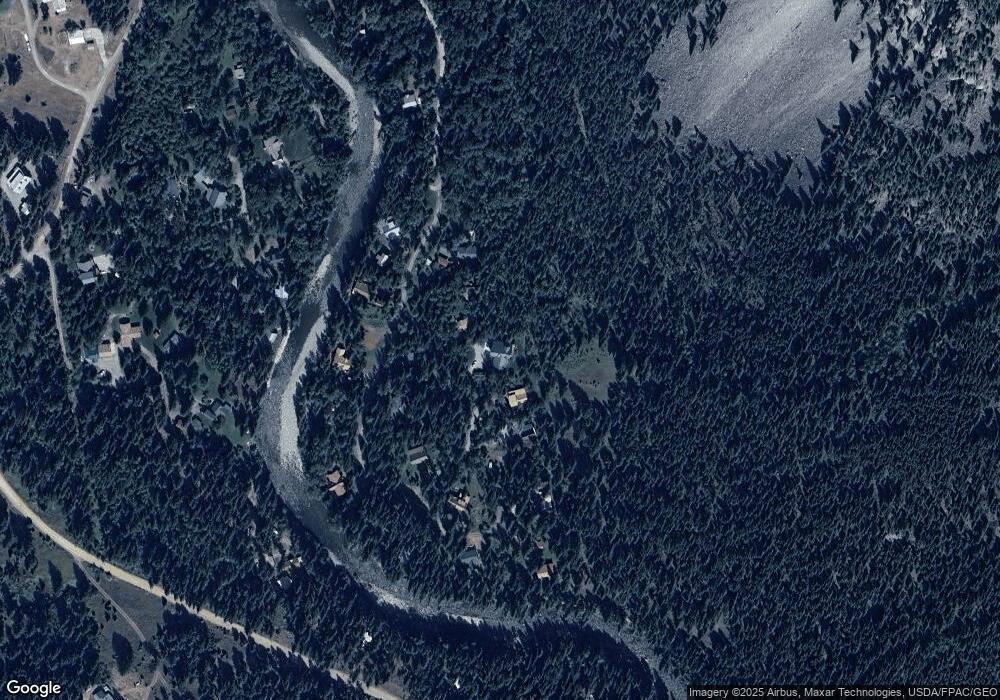
Map
Nearby Homes
- 14 Ken Dan Ln
- 3916 Main Boulder Rd
- Tbd W Boulder Rd
- 3966 Main Boulder Rd
- TBD E Boulder Rd
- 380 W Boulder Rd
- NHN Suce Creek Rd
- NHN (Parcel A-2) Suce Creek Rd
- 56 Deep Creek Rd
- 00 Above Paradise Trail
- 2851 E River Rd
- TBD Livingston Peak Rd
- 8 Forest Trail
- 8 Twin Springs Rd
- 8 W Fork Rd
- 4 Den Ln
- 20 Sky View Trail
- 0 Tbd Unit 11493126
- Tbd
- LOT 34 Cmr Trail
- 35a Kendan Ln
- 37 Ken Dan Ln
- 35A Kendan Lane McLeod Park
- 35a Ken Dan Ln
- 35 Ken Dan Ln
- 35A Ken Dan Lane McLeod
- 39 Ken Dan Ln
- 47 Ken Dan Ln
- 47A Kendan Ln
- 31 Kendan Ln
- 31 Ken Dan Ln
- 34 Ken Dan Ln
- 38 Ken Dan Ln
- 45 Ken Dan Ln
- 40 Ken Dan Ln
- 49 Ken Dan Ln
- 44 Ken Dan Ln
- 16 Moosehaven Loop
- 14 Moosehaven Loop
- 28 Kendan Ln
Your Personal Tour Guide
Ask me questions while you tour the home.