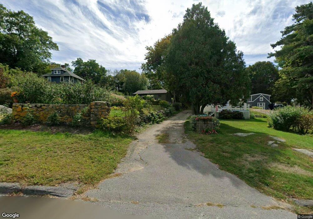
35R Gee Ave Gloucester, MA 01930
Estimated Value: $602,000 - $749,000
2
Beds
3
Baths
1,265
Sq Ft
$535/Sq Ft
Est. Value
About This Home
This home is located at 35R Gee Ave, Gloucester, MA 01930 and is currently estimated at $677,039, approximately $535 per square foot. 35R Gee Ave is a home located in Essex County with nearby schools including Beeman Memorial, Ralph B O'maley Middle School, and Gloucester High School.
Ownership History
Date
Name
Owned For
Owner Type
Purchase Details
Closed on
Jan 30, 2018
Sold by
Jennifer A Bucar
Bought by
Aprans Andrea and Aprans Maximilian
Current Estimated Value
Home Financials for this Owner
Home Financials are based on the most recent Mortgage that was taken out on this home.
Original Mortgage
$383,200
Outstanding Balance
$325,830
Interest Rate
4.15%
Estimated Equity
$351,209
Create a Home Valuation Report for This Property
The Home Valuation Report is an in-depth analysis detailing your home's value as well as a comparison with similar homes in the area
Purchase History
| Date | Buyer | Sale Price | Title Company |
|---|---|---|---|
| Aprans Andrea | $479,000 | -- |
Source: Public Records
Mortgage History
| Date | Status | Borrower | Loan Amount |
|---|---|---|---|
| Open | Aprans Andrea | $383,200 | |
| Closed | Aprans Andrea | -- | |
| Previous Owner | Aprans Andrea | $70,000 |
Source: Public Records
Tax History
| Year | Tax Paid | Tax Assessment Tax Assessment Total Assessment is a certain percentage of the fair market value that is determined by local assessors to be the total taxable value of land and additions on the property. | Land | Improvement |
|---|---|---|---|---|
| 2025 | $5,527 | $568,600 | $227,600 | $341,000 |
| 2024 | $5,376 | $552,500 | $216,800 | $335,700 |
| 2023 | $5,397 | $509,600 | $193,500 | $316,100 |
| 2022 | $5,113 | $435,900 | $168,300 | $267,600 |
| 2021 | $5,136 | $412,900 | $153,200 | $259,700 |
| 2020 | $4,817 | $390,700 | $153,200 | $237,500 |
| 2019 | $4,792 | $377,600 | $153,200 | $224,400 |
| 2018 | $4,847 | $374,900 | $153,200 | $221,700 |
| 2017 | $4,722 | $358,000 | $145,800 | $212,200 |
| 2016 | $4,569 | $335,700 | $152,100 | $183,600 |
| 2015 | $4,509 | $330,300 | $152,100 | $178,200 |
Source: Public Records
Map
Nearby Homes
- 3 Deacon Farm Ln
- 31 Echo Ave
- 2 Breezy Point Rd
- 672 Washington St
- 13 Honeysuckle Rd
- 13 Mystic Ave
- 8 Mystic Ave
- 98 Maplewood Ave
- 6 Monroe Ct
- 12 Arthur St
- 9 Cleveland Place
- 40 Sargent St
- 167 Atlantic St
- 19 Trask St Unit 2
- 178 Atlantic St
- 226 Atlantic St
- 50 Warner St
- 113 Pleasant St
- 33 Maplewood Ave Unit 310
- 15 Mount Vernon St
Your Personal Tour Guide
Ask me questions while you tour the home.