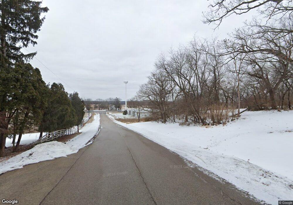
35W090 Lathrop Ln Dundee, IL 60118
Estimated Value: $530,000 - $637,881
3
Beds
--
Bath
2,328
Sq Ft
$255/Sq Ft
Est. Value
About This Home
This home is located at 35W090 Lathrop Ln, Dundee, IL 60118 and is currently estimated at $593,720, approximately $255 per square foot. 35W090 Lathrop Ln is a home located in Kane County with nearby schools including Westfield Community School, Harry D Jacobs High School, and St Margaret Mary Catholic School.
Ownership History
Date
Name
Owned For
Owner Type
Purchase Details
Closed on
Dec 13, 2021
Sold by
Lathrop Peggi L and Bettie Lathrop Trust
Bought by
Lathrop Peggi L and Peggi Lynn Lathrop Trust
Current Estimated Value
Purchase Details
Closed on
Aug 27, 2019
Sold by
Pr Lathrop Llc
Bought by
Lathrop Peggi and Bettie Lathrop Trust
Purchase Details
Closed on
Feb 12, 2019
Sold by
First American Bank
Bought by
Pr Lathrop Llc
Purchase Details
Closed on
May 27, 2010
Sold by
First American Bank
Bought by
County Of Kane
Create a Home Valuation Report for This Property
The Home Valuation Report is an in-depth analysis detailing your home's value as well as a comparison with similar homes in the area
Home Values in the Area
Average Home Value in this Area
Purchase History
| Date | Buyer | Sale Price | Title Company |
|---|---|---|---|
| Lathrop Peggi L | -- | Attorney | |
| Lathrop Peggi | -- | Attorney | |
| Pr Lathrop Llc | -- | Attorney | |
| County Of Kane | -- | Chicago Title Insurance Co |
Source: Public Records
Tax History Compared to Growth
Tax History
| Year | Tax Paid | Tax Assessment Tax Assessment Total Assessment is a certain percentage of the fair market value that is determined by local assessors to be the total taxable value of land and additions on the property. | Land | Improvement |
|---|---|---|---|---|
| 2024 | $13,546 | $198,327 | $93,962 | $104,365 |
| 2023 | $12,976 | $178,448 | $84,544 | $93,904 |
| 2022 | $13,471 | $178,448 | $84,544 | $93,904 |
| 2021 | $13,093 | $168,490 | $79,826 | $88,664 |
| 2020 | $12,843 | $164,702 | $78,031 | $86,671 |
| 2019 | $12,493 | $156,352 | $74,075 | $82,277 |
| 2018 | $14,512 | $174,123 | $120,704 | $53,419 |
| 2017 | $13,940 | $162,884 | $112,913 | $49,971 |
| 2016 | $14,149 | $155,886 | $109,327 | $46,559 |
| 2015 | -- | $146,070 | $102,443 | $43,627 |
| 2014 | -- | $142,036 | $99,614 | $42,422 |
| 2013 | -- | $146,383 | $102,663 | $43,720 |
Source: Public Records
Map
Nearby Homes
- 5 Lancaster Ct
- 18N732 Westhill Rd
- 710 Sprucetree Ln
- 1245 Winaki Trail
- lot 25 Wabican Trail
- 0 Natoma Trail
- lot 13-17 Pokagon Dr
- 0000 State Route 31
- 1334 Hillside View
- 1530 Westbourne Pkwy
- 1540 Westbourne Pkwy
- 1551 Westbourne Pkwy
- 1210 Brandywine Cir
- Route 31 Route
- 1535 Teri Ln
- 35W543 Miller Rd
- 1681 Highmeadow Ln
- 3404 Green Pastures Rd
- 3258 Red Oak Cir
- 1114 Riverwood Dr Unit 1114
- 35W090 Lathrop Ln
- 35W201 Lathrop Ln
- 35W201 Lathrop Ln
- 0000 Lathrop Ln
- Lot 4 Lathrop Ln
- 35W240 Lathrop Ln
- 35W211 Lathrop Ln
- 19N273 Karen Dr
- 19N045 State Route 31
- 35W075 Crescent Dr
- 35W115 Crescent Dr
- 35W055 Crescent Dr
- 35W125 Crescent Dr
- 35W155 Crescent Dr
- 35W005 Crescent Dr
- 35W165 Crescent Dr Unit 1
- 35W205 Crescent Dr
- 35W215 Crescent Dr
- 35W253 Forest Dr
- 35W110 Crescent Dr
