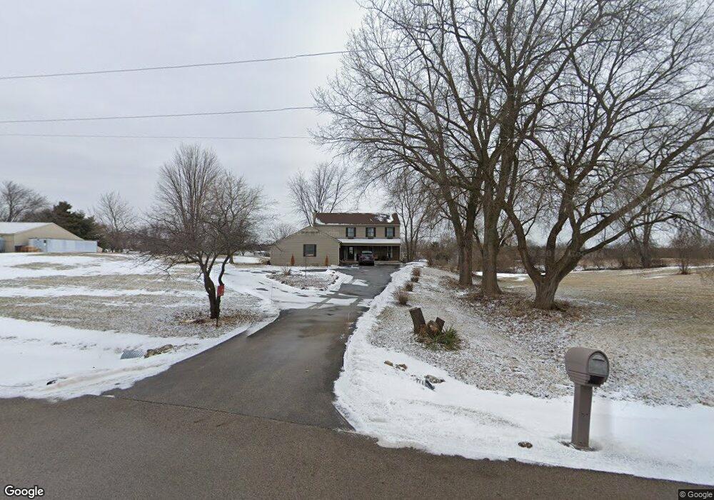
35W300 Lathrop Ln Dundee, IL 60118
Estimated Value: $409,000 - $471,587
4
Beds
3
Baths
2,268
Sq Ft
$196/Sq Ft
Est. Value
About This Home
This home is located at 35W300 Lathrop Ln, Dundee, IL 60118 and is currently estimated at $445,397, approximately $196 per square foot. 35W300 Lathrop Ln is a home located in Kane County with nearby schools including Westfield Community School, Harry D Jacobs High School, and St Margaret Mary Catholic School.
Ownership History
Date
Name
Owned For
Owner Type
Purchase Details
Closed on
Mar 26, 2021
Sold by
Mackinlay Paul C and The Mackinlay Family Trust
Bought by
Walker Tiffany Lynn
Current Estimated Value
Home Financials for this Owner
Home Financials are based on the most recent Mortgage that was taken out on this home.
Original Mortgage
$285,000
Outstanding Balance
$256,486
Interest Rate
2.8%
Mortgage Type
New Conventional
Estimated Equity
$188,911
Purchase Details
Closed on
Apr 11, 2017
Sold by
Mackinlay Paul C and Mackinlay Susan L
Bought by
Mackinlay Paul C and Mackinlay Susan L
Purchase Details
Closed on
Mar 27, 2017
Sold by
Mackinlay Paul
Bought by
County Of Kane
Create a Home Valuation Report for This Property
The Home Valuation Report is an in-depth analysis detailing your home's value as well as a comparison with similar homes in the area
Home Values in the Area
Average Home Value in this Area
Purchase History
| Date | Buyer | Sale Price | Title Company |
|---|---|---|---|
| Walker Tiffany Lynn | $300,000 | Heritage Title Co | |
| Mackinlay Paul C | -- | None Available | |
| County Of Kane | -- | Attorney |
Source: Public Records
Mortgage History
| Date | Status | Borrower | Loan Amount |
|---|---|---|---|
| Open | Walker Tiffany Lynn | $285,000 |
Source: Public Records
Tax History Compared to Growth
Tax History
| Year | Tax Paid | Tax Assessment Tax Assessment Total Assessment is a certain percentage of the fair market value that is determined by local assessors to be the total taxable value of land and additions on the property. | Land | Improvement |
|---|---|---|---|---|
| 2024 | $9,438 | $140,612 | $42,959 | $97,653 |
| 2023 | $9,022 | $126,510 | $38,645 | $87,865 |
| 2022 | $8,498 | $114,777 | $38,601 | $76,176 |
| 2021 | $8,730 | $108,348 | $36,423 | $71,925 |
| 2020 | $8,568 | $105,882 | $35,574 | $70,308 |
| 2019 | $8,898 | $107,086 | $33,748 | $73,338 |
| 2018 | $8,632 | $100,000 | $41,900 | $58,100 |
| 2017 | $8,311 | $93,529 | $39,179 | $54,350 |
| 2016 | $7,946 | $84,177 | $37,914 | $46,263 |
| 2015 | -- | $78,862 | $35,512 | $43,350 |
| 2014 | -- | $76,671 | $34,518 | $42,153 |
| 2013 | -- | $130,274 | $86,831 | $43,443 |
Source: Public Records
Map
Nearby Homes
- 5 Lancaster Ct
- 18N732 Westhill Rd
- 710 Sprucetree Ln
- 1530 Westbourne Pkwy
- 1540 Westbourne Pkwy
- 1551 Westbourne Pkwy
- 1210 Brandywine Cir
- 1245 Winaki Trail
- 1334 Hillside View
- 1681 Highmeadow Ln
- 0 Natoma Trail
- 0000 State Route 31
- lot 25 Wabican Trail
- 2060 Dorchester Ave
- lot 13-17 Pokagon Dr
- 35W543 Miller Rd
- 2219 Barrett Dr
- 3404 Green Pastures Rd
- 1721 Fernwood Ln
- 6 Greyshire Ct
- 35W385 Lathrop Ln
- 35W414 Lathrop Ln
- 35W415 Lathrop Ln
- 19N334 Randall Rd
- 35W240 Lathrop Ln
- 35W345 Crescent Dr
- 35W305 Crescent Dr
- 35W365 Crescent Dr
- 35W275 Crescent Dr
- 35W211 Lathrop Ln
- 35W375 Crescent Dr Unit 2
- 35W255 Crescent Dr
- Lot 4 Lathrop Ln
- 0000 Lathrop Ln
- 35W415 Crescent Dr
- 35W215 Crescent Dr
- 35W340 Crescent Dr
- 35W350 Crescent Dr
- 35W320 Crescent Dr Unit 2
- 35W370 Crescent Dr Unit 2