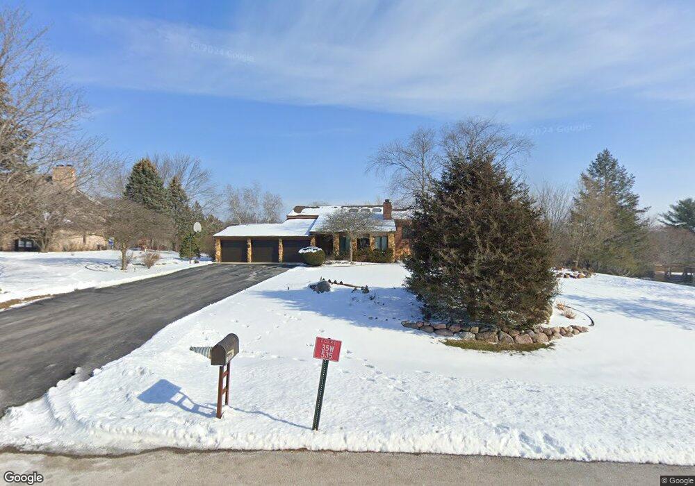
35W535 Parsons Rd Dundee, IL 60118
Estimated Value: $488,101 - $632,000
--
Bed
--
Bath
2,800
Sq Ft
$203/Sq Ft
Est. Value
About This Home
This home is located at 35W535 Parsons Rd, Dundee, IL 60118 and is currently estimated at $568,025, approximately $202 per square foot. 35W535 Parsons Rd is a home located in Kane County with nearby schools including Liberty Elementary School, Dundee Middle School, and Harry D Jacobs High School.
Ownership History
Date
Name
Owned For
Owner Type
Purchase Details
Closed on
Aug 1, 1996
Sold by
Miller Robert M and Miller De Anna S
Bought by
Oldin Arthur K and Oldin Cynthia J
Current Estimated Value
Home Financials for this Owner
Home Financials are based on the most recent Mortgage that was taken out on this home.
Original Mortgage
$220,000
Outstanding Balance
$16,684
Interest Rate
7.75%
Estimated Equity
$551,341
Create a Home Valuation Report for This Property
The Home Valuation Report is an in-depth analysis detailing your home's value as well as a comparison with similar homes in the area
Home Values in the Area
Average Home Value in this Area
Purchase History
| Date | Buyer | Sale Price | Title Company |
|---|---|---|---|
| Oldin Arthur K | $305,000 | -- |
Source: Public Records
Mortgage History
| Date | Status | Borrower | Loan Amount |
|---|---|---|---|
| Open | Oldin Arthur K | $220,000 |
Source: Public Records
Tax History Compared to Growth
Tax History
| Year | Tax Paid | Tax Assessment Tax Assessment Total Assessment is a certain percentage of the fair market value that is determined by local assessors to be the total taxable value of land and additions on the property. | Land | Improvement |
|---|---|---|---|---|
| 2024 | $9,310 | $147,355 | $40,096 | $107,259 |
| 2023 | $8,767 | $132,585 | $36,077 | $96,508 |
| 2022 | $8,997 | $122,955 | $36,077 | $86,878 |
| 2021 | $8,722 | $116,094 | $34,064 | $82,030 |
| 2020 | $8,543 | $113,484 | $33,298 | $80,186 |
| 2019 | $9,136 | $121,164 | $31,610 | $89,554 |
| 2018 | $9,659 | $124,286 | $30,984 | $93,302 |
| 2017 | $9,245 | $116,264 | $28,984 | $87,280 |
| 2016 | $9,479 | $112,572 | $28,064 | $84,508 |
| 2015 | -- | $102,883 | $26,297 | $76,586 |
| 2014 | -- | $97,178 | $25,571 | $71,607 |
| 2013 | -- | $100,153 | $26,354 | $73,799 |
Source: Public Records
Map
Nearby Homes
- 35W543 Miller Rd
- 3404 Green Pastures Rd
- 18N732 Westhill Rd
- 0000 State Route 31
- Route 31 Route
- 3835 Parsons Rd
- 1681 Highmeadow Ln
- 5 Lancaster Ct
- 6415 Grassmere Ln
- 6109 Dunroven Lakes Ct
- 1551 Westbourne Pkwy
- 1530 Westbourne Pkwy
- 1540 Westbourne Pkwy
- 6 Greyshire Ct
- 17N448 Il Route 31
- lot 009 Huntley Rd
- 6850 Huntley Rd
- 2219 Barrett Dr
- 7046 Nathan Ln
- 7349 Grandview Ct Unit 103
- 35W537 Parsons Rd
- 35W533 Parsons Rd
- 35W532 Parsons Rd
- 35W547 Parsons Rd
- 35W550 Parsons Rd
- 35W529 Parsons Rd
- 35W457 Country School Rd
- 35W530 Parsons Rd
- 35W411 Country School Rd
- 35W611 Parsons Rd
- 35W636 Parsons Rd
- 35W461 Country School Rd
- 35W527 Parsons Rd
- 35W640 Parsons Rd
- 35W625 Parsons Rd
- 35W528 Parsons Rd
- 35W426 Miller Rd
- 35W399 Country School Rd
- 35W424 Miller Rd
- 35W635 Parsons Rd Unit 2